MyTopo
Classic USGS Flag Prairie Oregon 7.5'x7.5' Topo Map
Couldn't load pickup availability
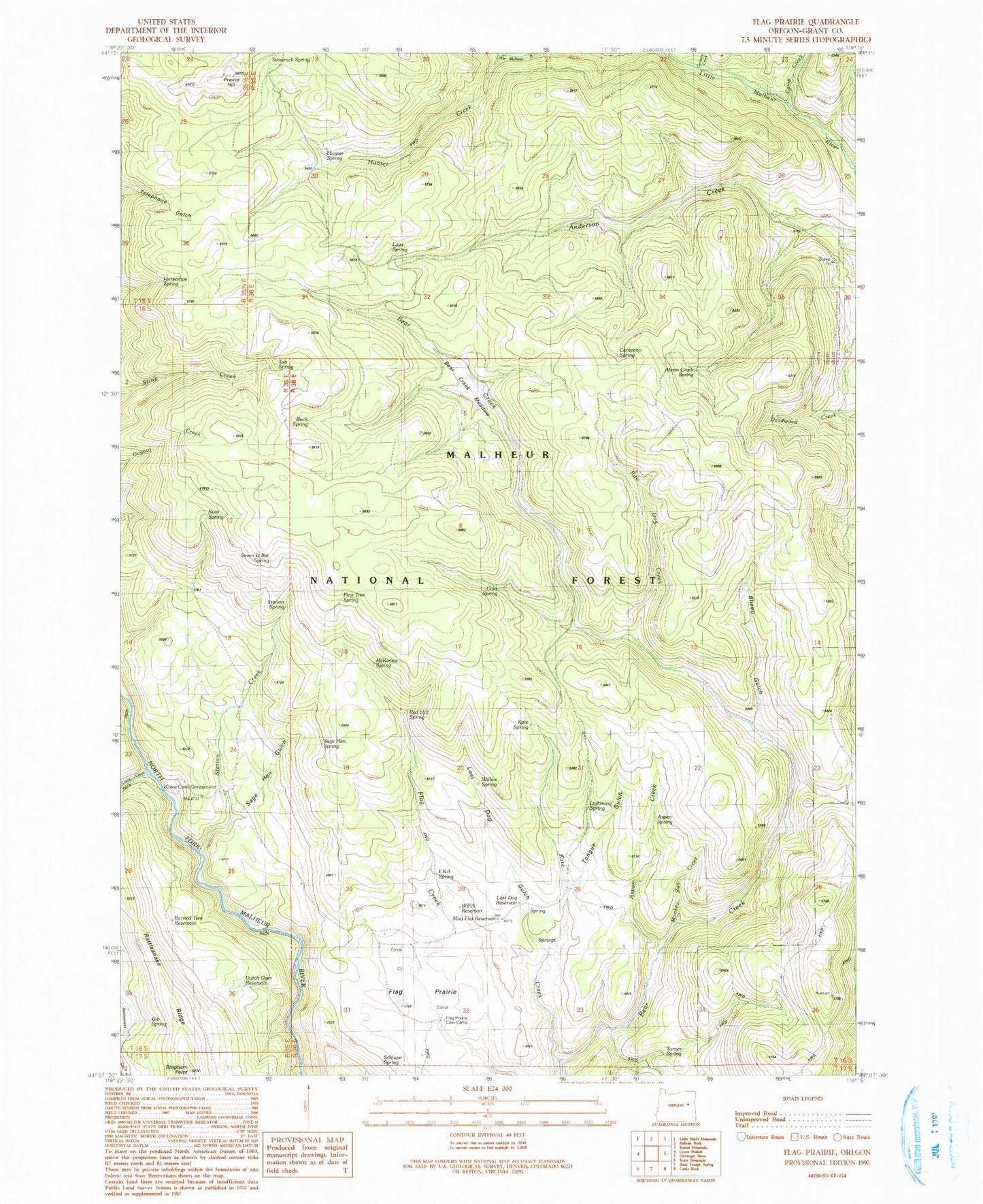
Historical USGS topographic quad map of Flag Prairie in the state of Oregon. Map scale may vary for some years, but is generally around 1:24,000. Print size is approximately 24" x 27"
This quadrangle is in the following counties: Grant.
The map contains contour lines, roads, rivers, towns, and lakes. Printed on high-quality waterproof paper with UV fade-resistant inks, and shipped rolled.
Contains the following named places: Alarm Clock Spring, Aspen Creek, Aspen Spring, Bear Creek Meadow, Bingham Point, Buck Spring, Burned Tree Reservoir, Camp Creek, Canteen Creek, Canteeno Spring, Cold Spring, Crane Creek, Crane Creek Campground, Dutch Oven Reservoir, ERA Spring, Flag Prairie, Flag Prairie Cow Camp, Gib Spring, Horseshoe Spring, Hunter Creek, Hunter Spring, JB Reservoir, Kate Creek, Kate Spring, Lava Spring, Lightning Spring, Little Malheur River Recreation Site, Lost Dog Flat, Lost Dog Gulch, Lost Dog Reservoir, McKenzie Spring, Monkey Run Creek, Mud Flat Reservoir, Pine Tree Spring, Prairie Hill, Rattlesnake Ridge, Raw Dog Creek, Red Hill Spring, Root Spring, Sage Hen Spring, Sagehen Gulch, Schlupe Spring, Seven D Bar Spring, Sheep Gulch, Slate Gulch, Station Creek, Station Spring, Tamarack Spring, Tongue Gulch, Tub Spring, Turner Spring, Willow Spring, WPA Reservoir


