MyTopo
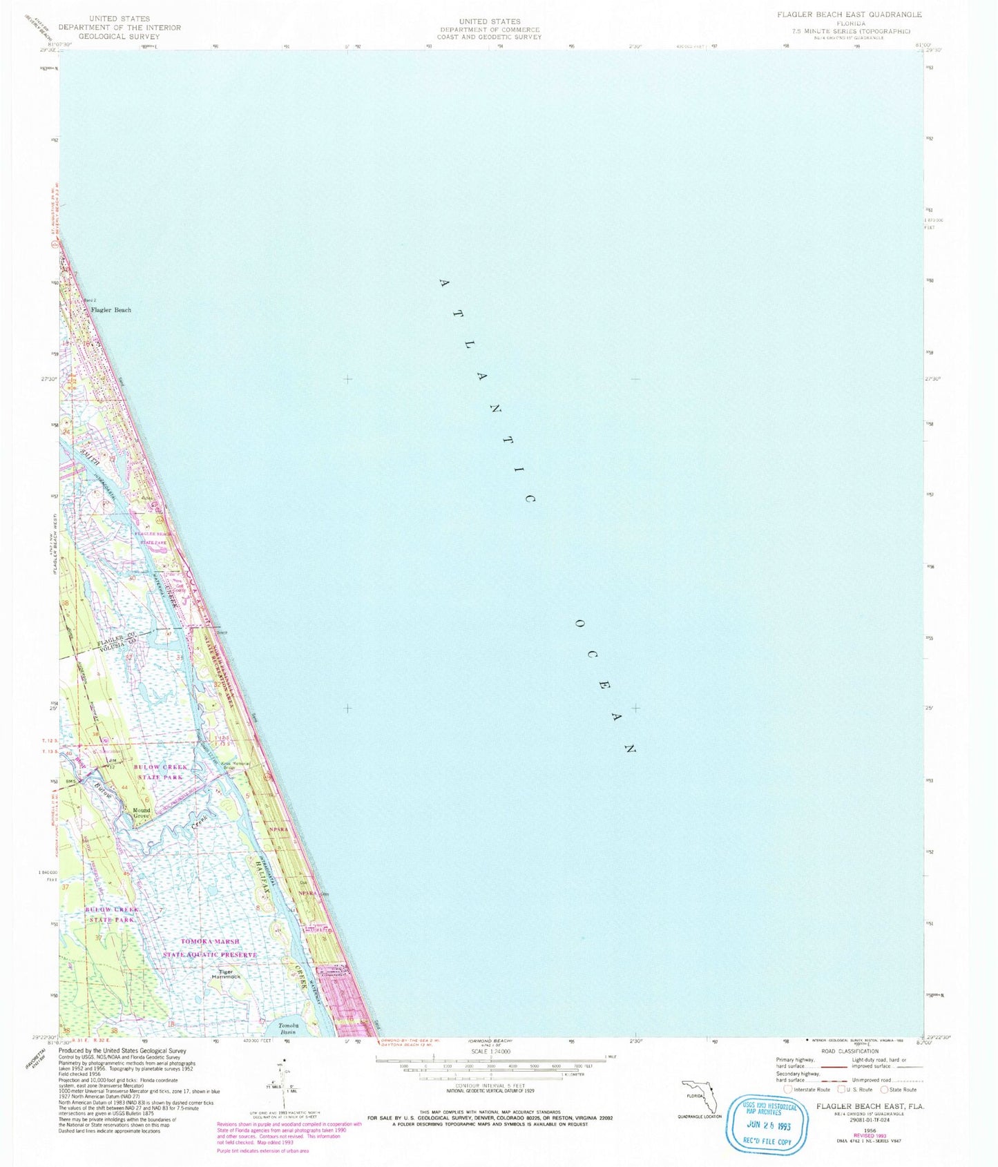
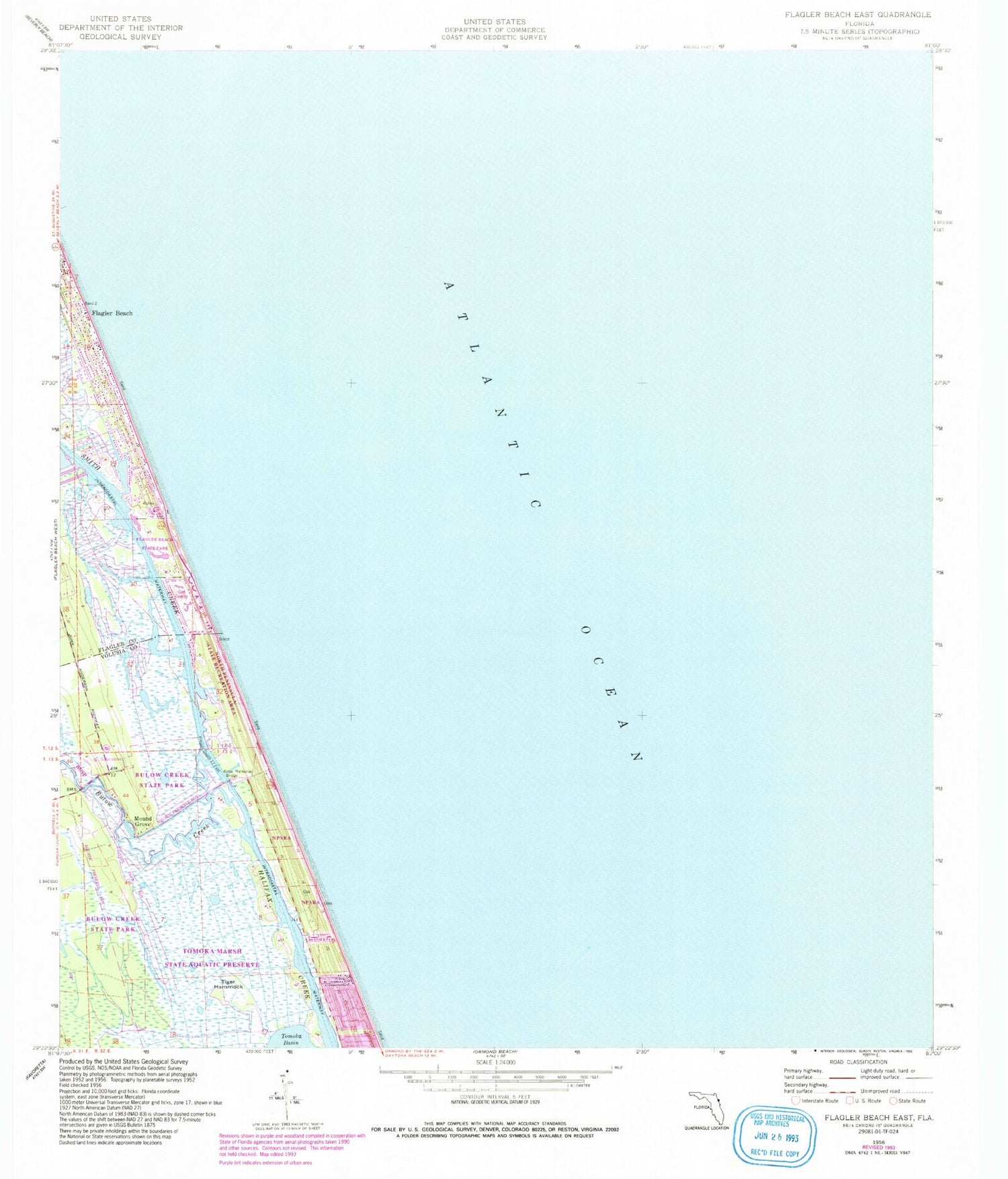
Classic USGS Flagler Beach East Florida 7.5'x7.5' Topo Map
Couldn't load pickup availability
Historical USGS topographic quad map of Flagler Beach East in the state of Florida. Map scale may vary for some years, but is generally around 1:24,000. Print size is approximately 24" x 27"
This quadrangle is in the following counties: Flagler, Volusia.
The map contains contour lines, roads, rivers, towns, and lakes. Printed on high-quality waterproof paper with UV fade-resistant inks, and shipped rolled.
Contains the following named places: Bulow Creek, Delray Country Club, Gamble Rogers Memorial State Recreation Area at Flagler Beach, Knox Memorial Bridge, M Kunner Grant, Mother Seton Catholic Church, Mound Grove, North Peninsula State Park, Santa Maria Del Mar Catholic Church, Smith Creek, Tiger Hammock, Tomoka Marsh Aquatic Preserve