
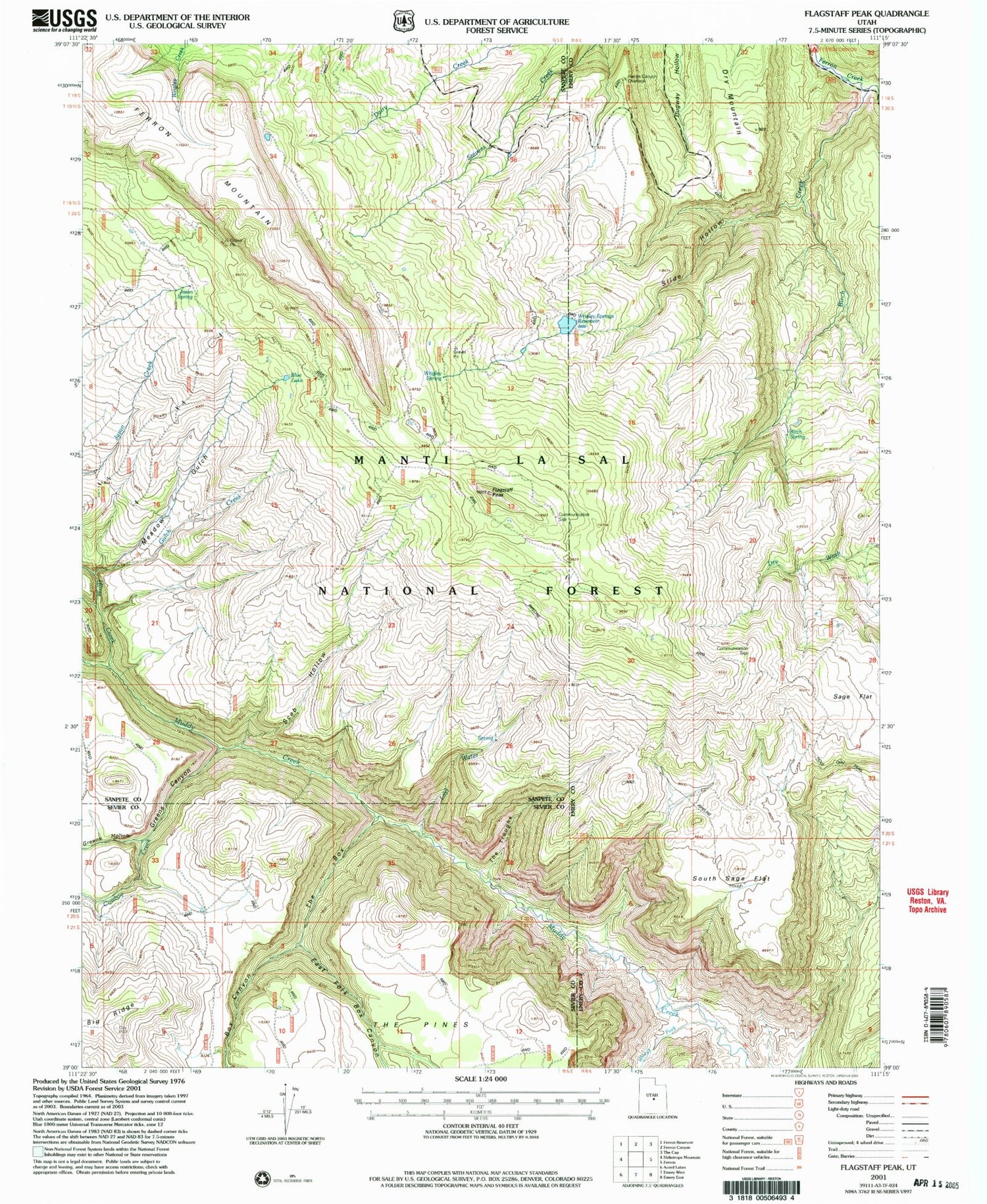
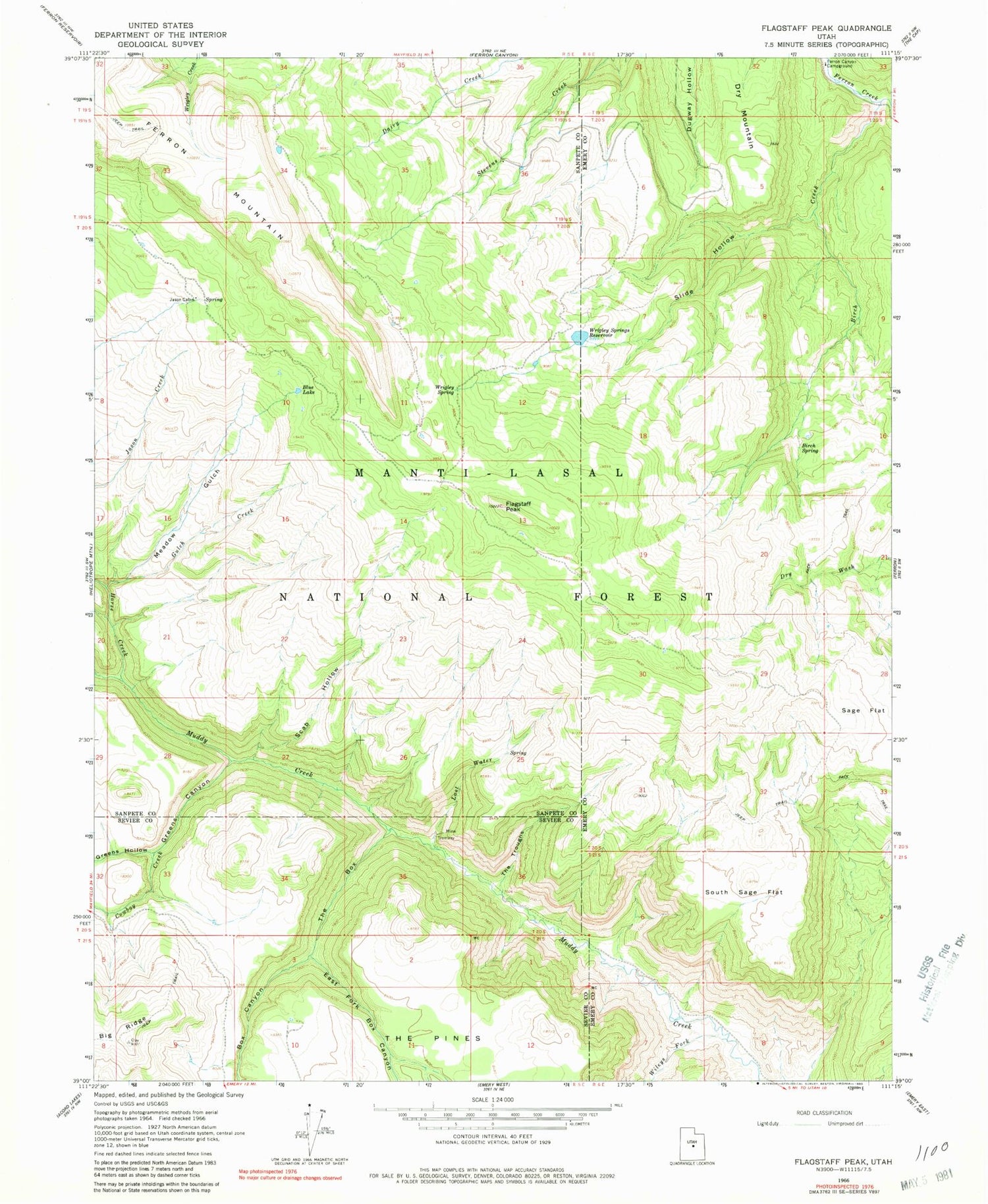
MyTopo
Classic USGS Flagstaff Peak Utah 7.5'x7.5' Topo Map
Couldn't load pickup availability
Historical USGS topographic quad map of Flagstaff Peak in the state of Utah. Map scale may vary for some years, but is generally around 1:24,000. Print size is approximately 24" x 27"
This quadrangle is in the following counties: Emery, Sanpete, Sevier.
The map contains contour lines, roads, rivers, towns, and lakes. Printed on high-quality waterproof paper with UV fade-resistant inks, and shipped rolled.
Contains the following named places: Birch Creek, Birch Spring, Blue Lake, Box Canyon, Cowboy Creek, Dry Mountain, East Fork Box Canyon, Ferron Canyon Campground, Ferron Canyon Overlook, Flagstaff Peak, Greens Canyon, Greens Hollow, Gulch Creek, Horse Creek, Jason Cabin, Jason Spring, Last Water, Meadow Gulch, Sage Flat, Scab Hollow, Slide Hollow, South Sage Flat, Stevens Forest Service Facility, Steves Creek Administrative Site, The Box, The Troughs, Wileys Fork, Wrigley Spring, Wrigley Springs Dam, Wrigley Springs Reservoir


