
MyTopo
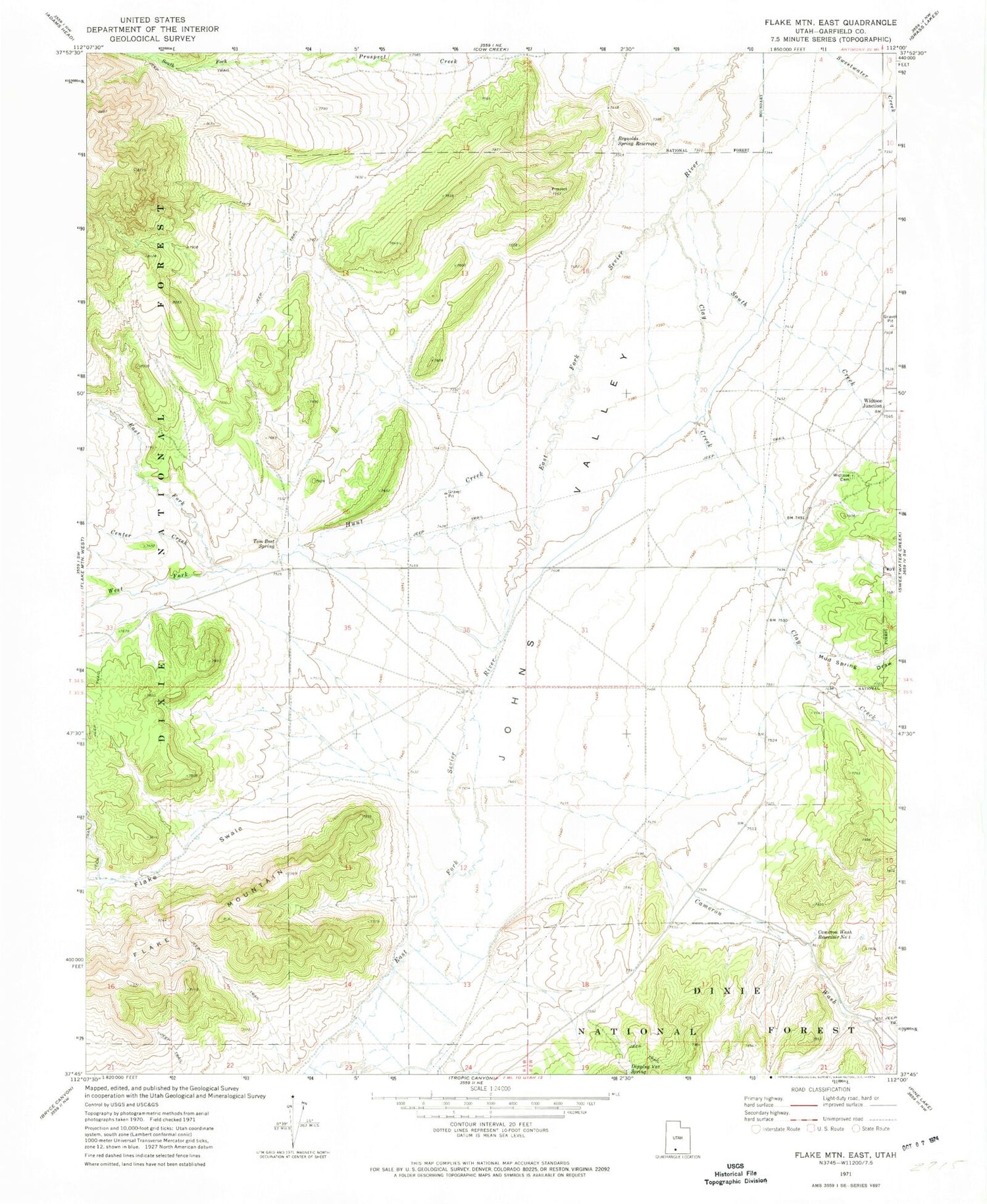
Classic USGS Flake Mountain East Utah 7.5'x7.5' Topo Map
Couldn't load pickup availability
Historical USGS topographic quad map of Flake Mountain East in the state of Utah. Map scale may vary for some years, but is generally around 1:24,000. Print size is approximately 24" x 27"
This quadrangle is in the following counties: Garfield.
The map contains contour lines, roads, rivers, towns, and lakes. Printed on high-quality waterproof paper with UV fade-resistant inks, and shipped rolled.
Contains the following named places: Cameron Wash, Cameron Wash Reservoir Number 1, Center Creek, Clay Creek, Dipping Vat Spring, East Fork Hunt Creek, Flake Swale, Hunt Creek, Mud Spring Draw, North Fork Prospect Creek, Reynolds Spring Reservoir, South Creek, South Fork Prospect Creek, Tom Best Spring, Tropic Division, West Fork Hunt Creek, Widtsoe Cemetery, Widtsoe Junction


