MyTopo
Classic USGS Flat Creek School Montana 7.5'x7.5' Topo Map
Couldn't load pickup availability
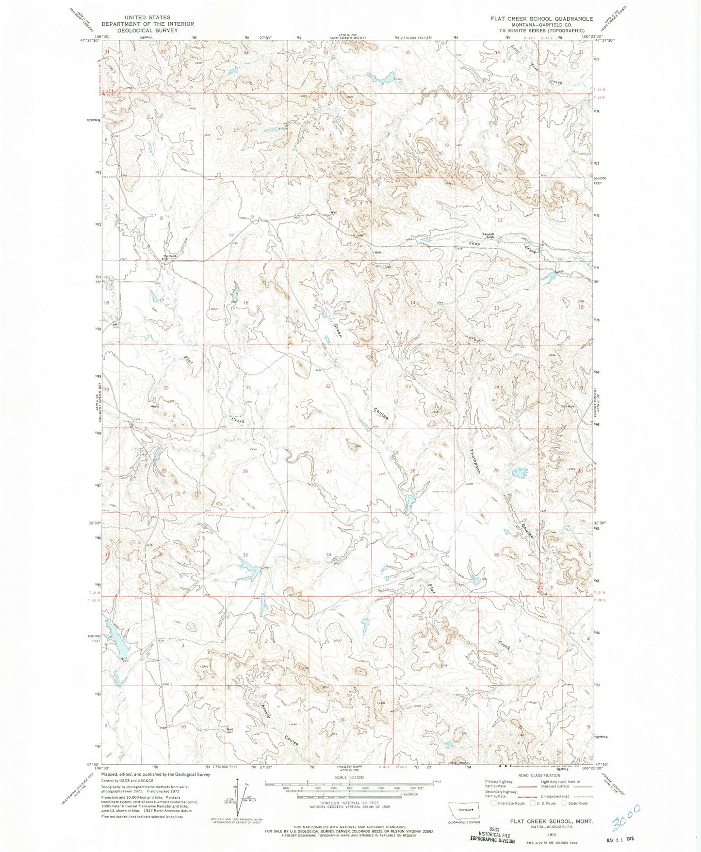
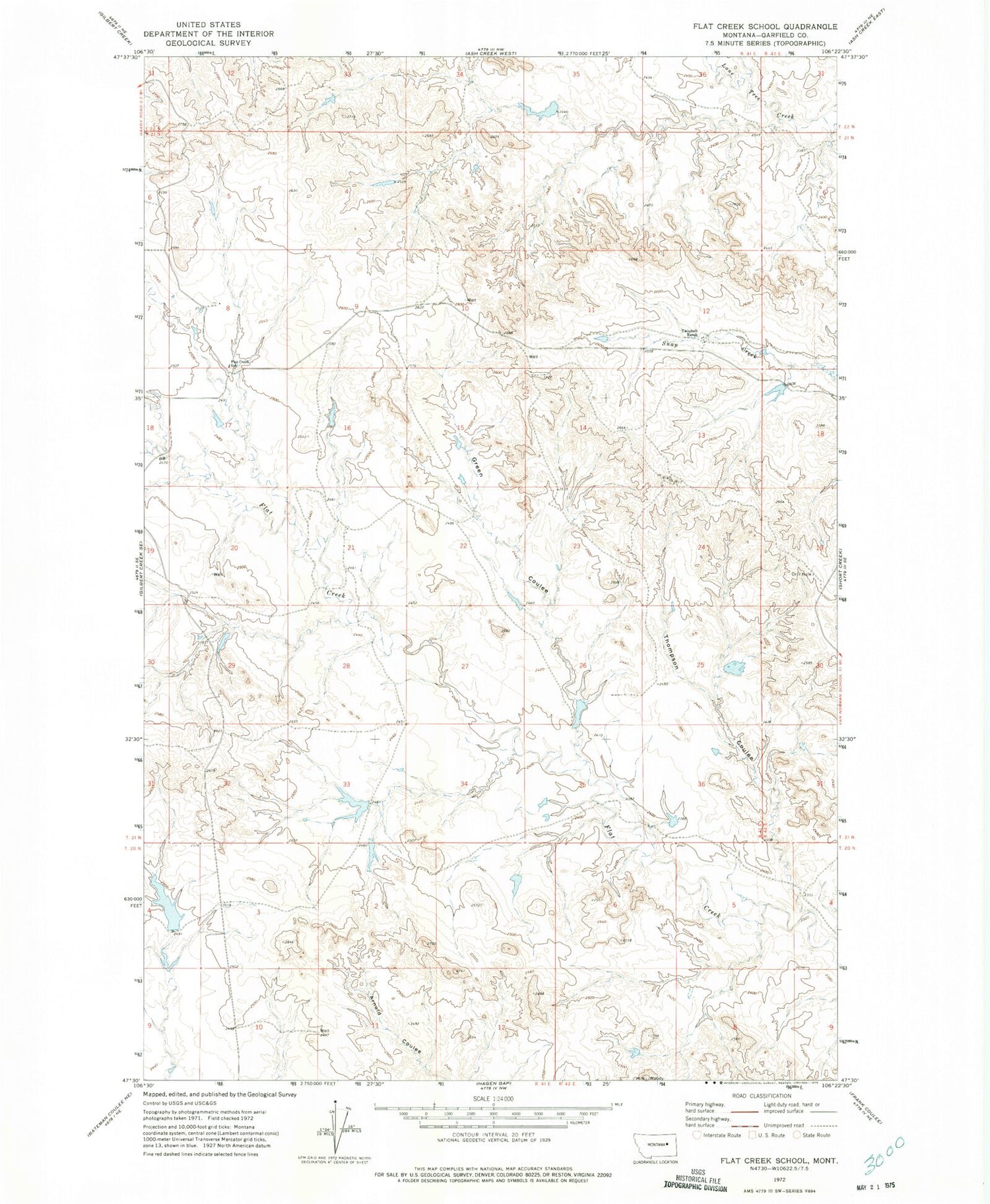
Historical USGS topographic quad map of Flat Creek School in the state of Montana. Map scale may vary for some years, but is generally around 1:24,000. Print size is approximately 24" x 27"
This quadrangle is in the following counties: Garfield.
The map contains contour lines, roads, rivers, towns, and lakes. Printed on high-quality waterproof paper with UV fade-resistant inks, and shipped rolled.
Contains the following named places: 21N41E08B___01 Well, 21N41E08D___01 Well, 21N41E11CCCB01 Well, 21N41E12C___01 Well, 21N41E12C___02 Well, 21N42E18BA__01 Well, Burgess Number 1 Dam, Burgess Number 2 Dam, Burgess Ranch Number 2 Dam, Burgess Reservoir Dam, Flat Creek School, Green Coulee, Green Coulee Dam, Hammond Dam, Thompson Coulee, Twitchell Number 1 Dam, Twitchell Ranch, US Number 2 Dam, US Number 4 Dam