MyTopo
Classic USGS Flat Top Butte SW Montana 7.5'x7.5' Topo Map
Regular price
$16.95
Regular price
Sale price
$16.95
Unit price
per
Couldn't load pickup availability
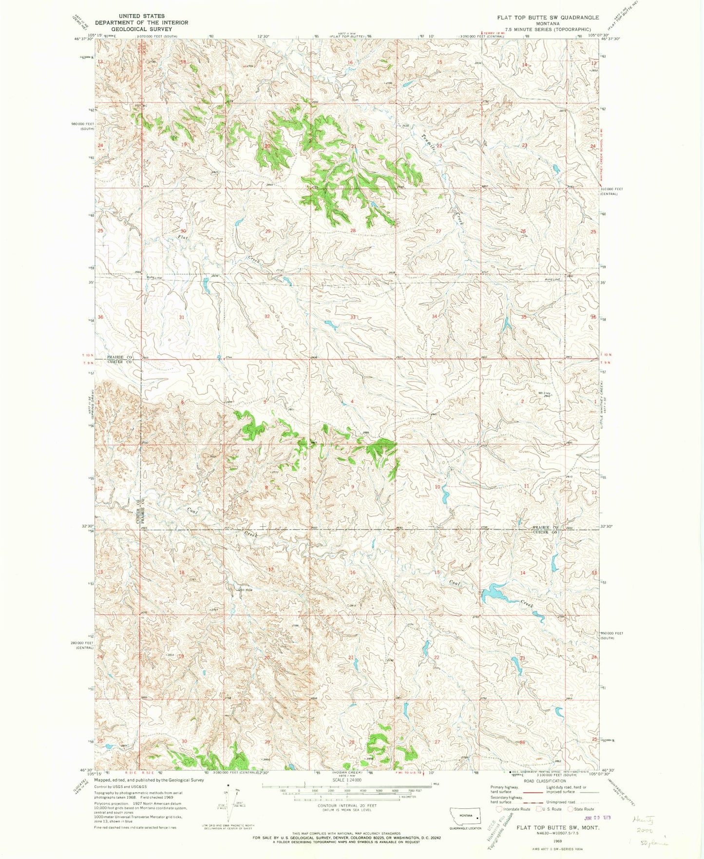
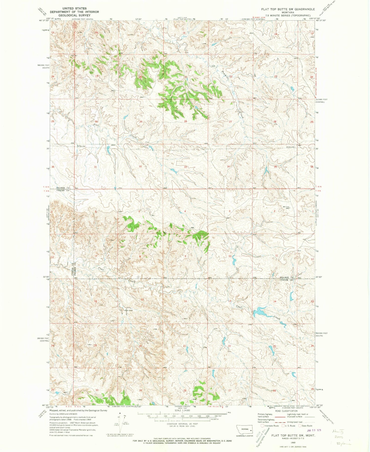
Historical USGS topographic quad map of Flat Top Butte SW in the state of Montana. Map scale may vary for some years, but is generally around 1:24,000. Print size is approximately 24" x 27"
This quadrangle is in the following counties: Custer, Prairie.
The map contains contour lines, roads, rivers, towns, and lakes. Printed on high-quality waterproof paper with UV fade-resistant inks, and shipped rolled.
Contains the following named places: 09N52E05CACC01 Well, 10N52E19DBBB01 Well, Bacon School, Barrial Post Office, Beardsley Number 1 Dam, Beardsley Number 7 Dam, Coal Creek Dam Number 1, Olson Dam