MyTopo
Classic USGS Flat Top Butte Montana 7.5'x7.5' Topo Map
Regular price
$16.95
Regular price
Sale price
$16.95
Unit price
per
Couldn't load pickup availability
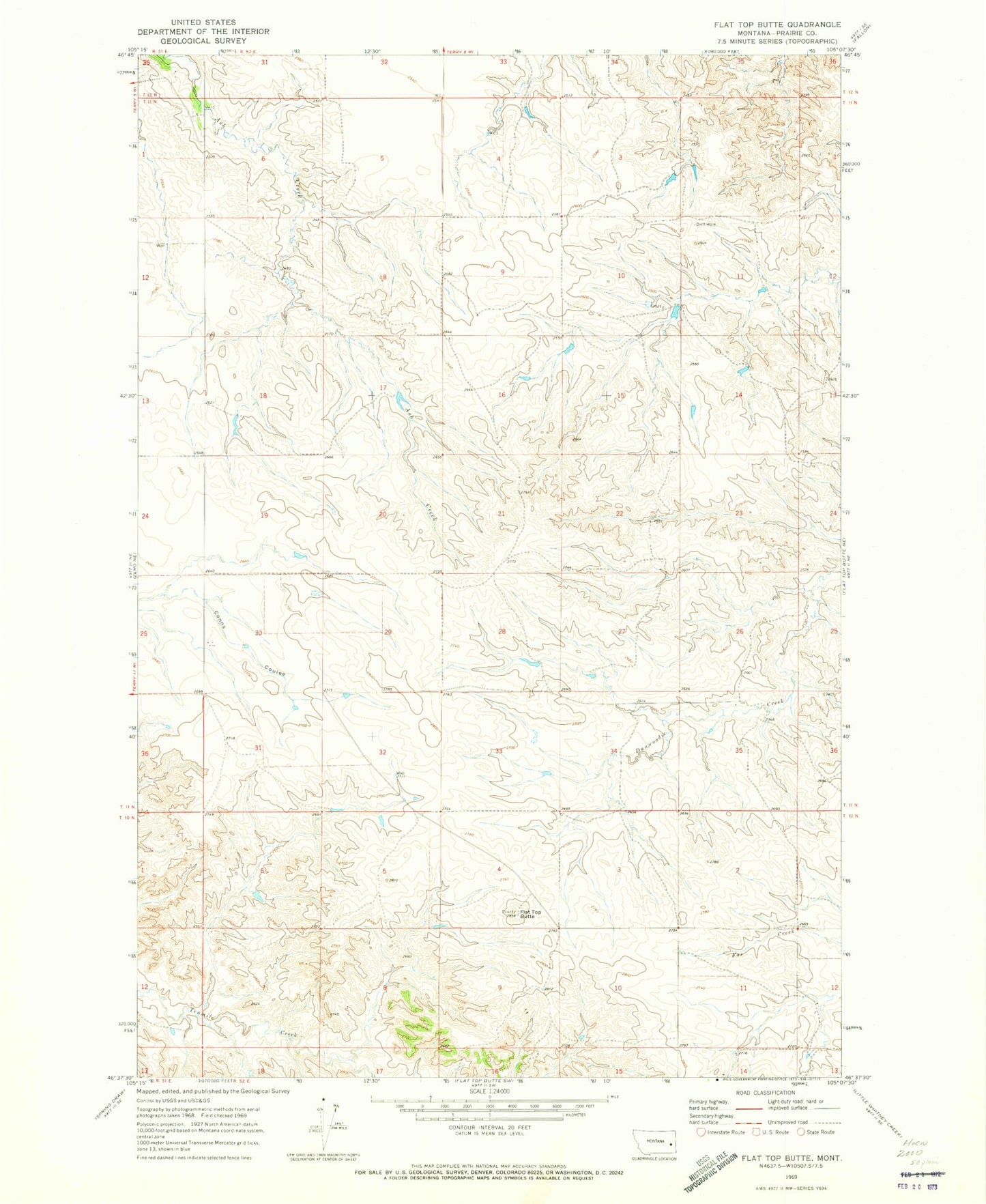
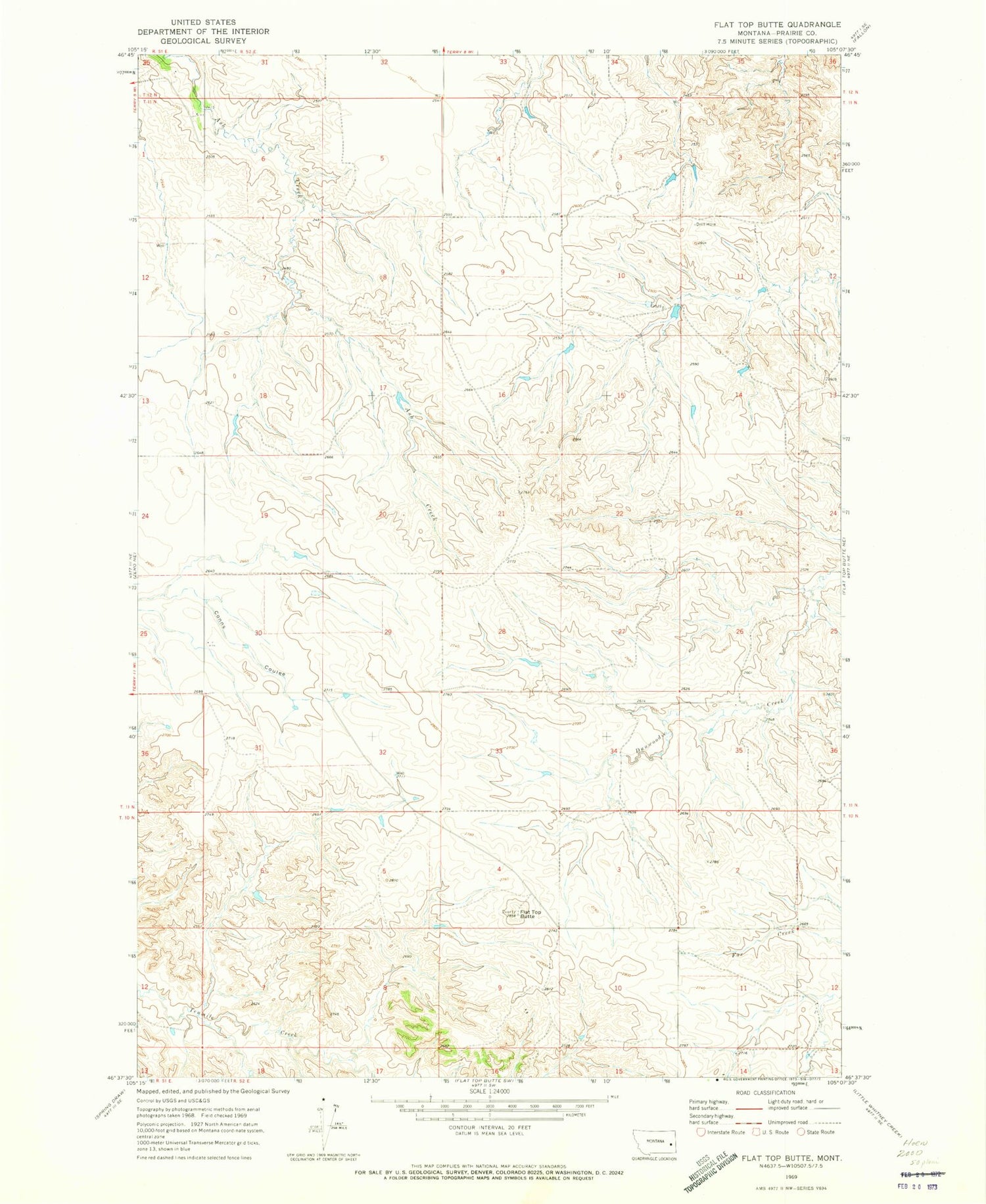
Historical USGS topographic quad map of Flat Top Butte in the state of Montana. Map scale may vary for some years, but is generally around 1:24,000. Print size is approximately 24" x 27"
This quadrangle is in the following counties: Prairie.
The map contains contour lines, roads, rivers, towns, and lakes. Printed on high-quality waterproof paper with UV fade-resistant inks, and shipped rolled.
Contains the following named places: 10N52E14BAAA01 Well, 11N52E04BCDD01 Well, 11N52E10DDBA01 Well, 11N52E15DBBD01 Well, 11N52E17BB__01 Well, 11N52E32DBCD01 Well, 11N52E35ABBC01 Well, Dever School, Flat Top Butte, Wheatland School