MyTopo
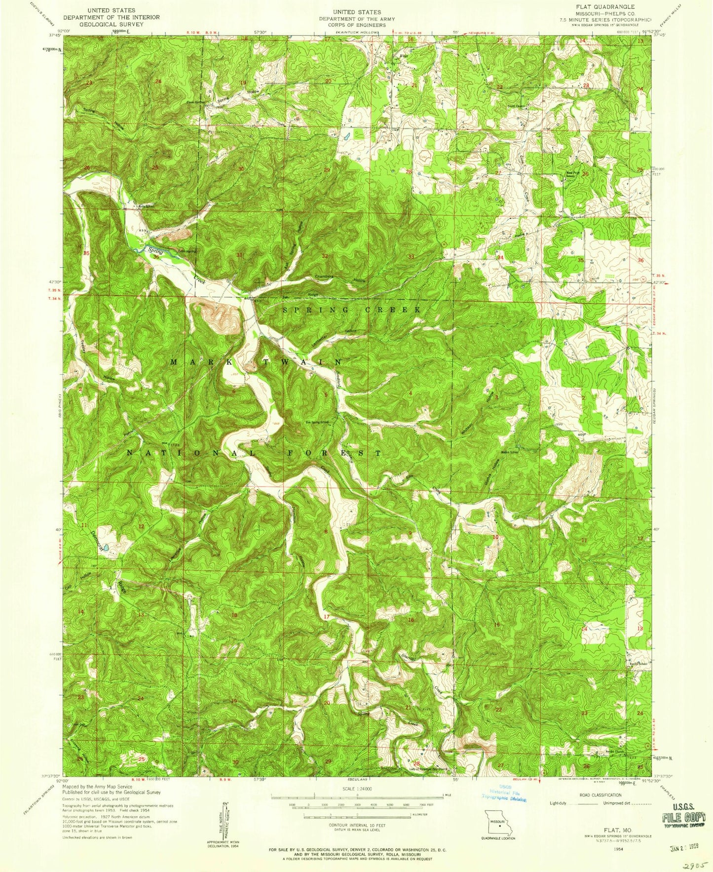
Classic USGS Flat Missouri 7.5'x7.5' Topo Map
Couldn't load pickup availability
Historical USGS topographic quad map of Flat in the state of Missouri. Map scale may vary for some years, but is generally around 1:24,000. Print size is approximately 24" x 27"
This quadrangle is in the following counties: Phelps.
The map contains contour lines, roads, rivers, towns, and lakes. Printed on high-quality waterproof paper with UV fade-resistant inks, and shipped rolled.
Contains the following named places: Ash Spring Hollow, Bethel Church, Beulah Baptist Church, Blooming Rose CCC Camp, Bradford Branch, Cave Spring, Chambers Hollow, Cowan Cemetery, Edgar Springs School, Elm Creek, Elm Spring School, Flat, Hamilton Hollow, Lady of Perpetual Help Church, Lawrence Hollow, Ledbetter Hollow, Mathis Hollow, Mathis School, Rambo Church, Rambo School, Relfe, Relfe Cemetery, Relfe School, Relfe Spring, Sherrill Creek, Smith Cemetery, Smith Church, Teasley Hollow, Tie Ridge, Township of Spring Creek, Trout Cemetery, West Point School, Whitson Hollow


