MyTopo
Classic USGS Flatiron Hill Idaho 7.5'x7.5' Topo Map
Regular price
$16.95
Regular price
Sale price
$16.95
Unit price
per
Couldn't load pickup availability
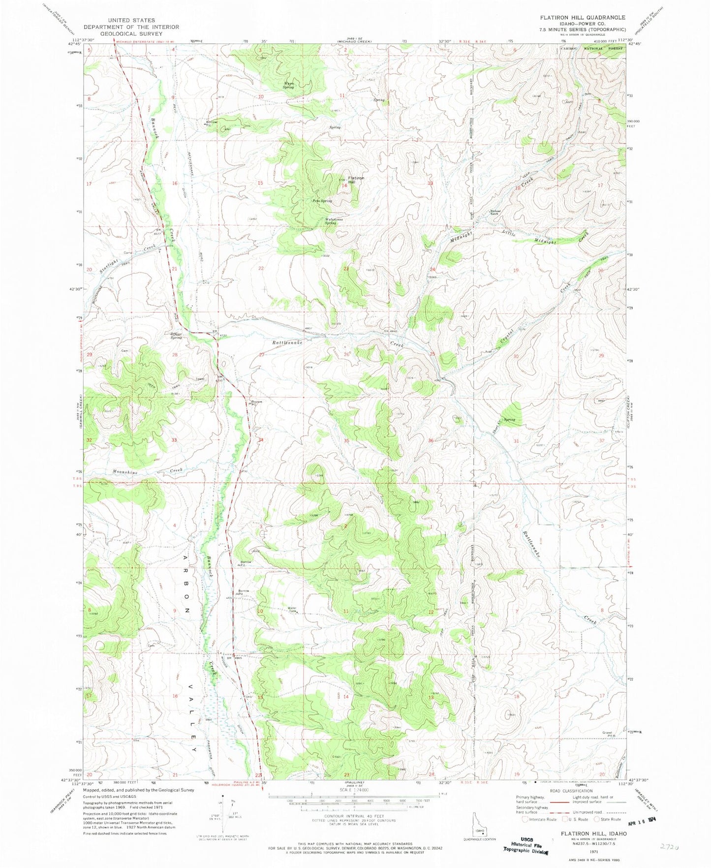
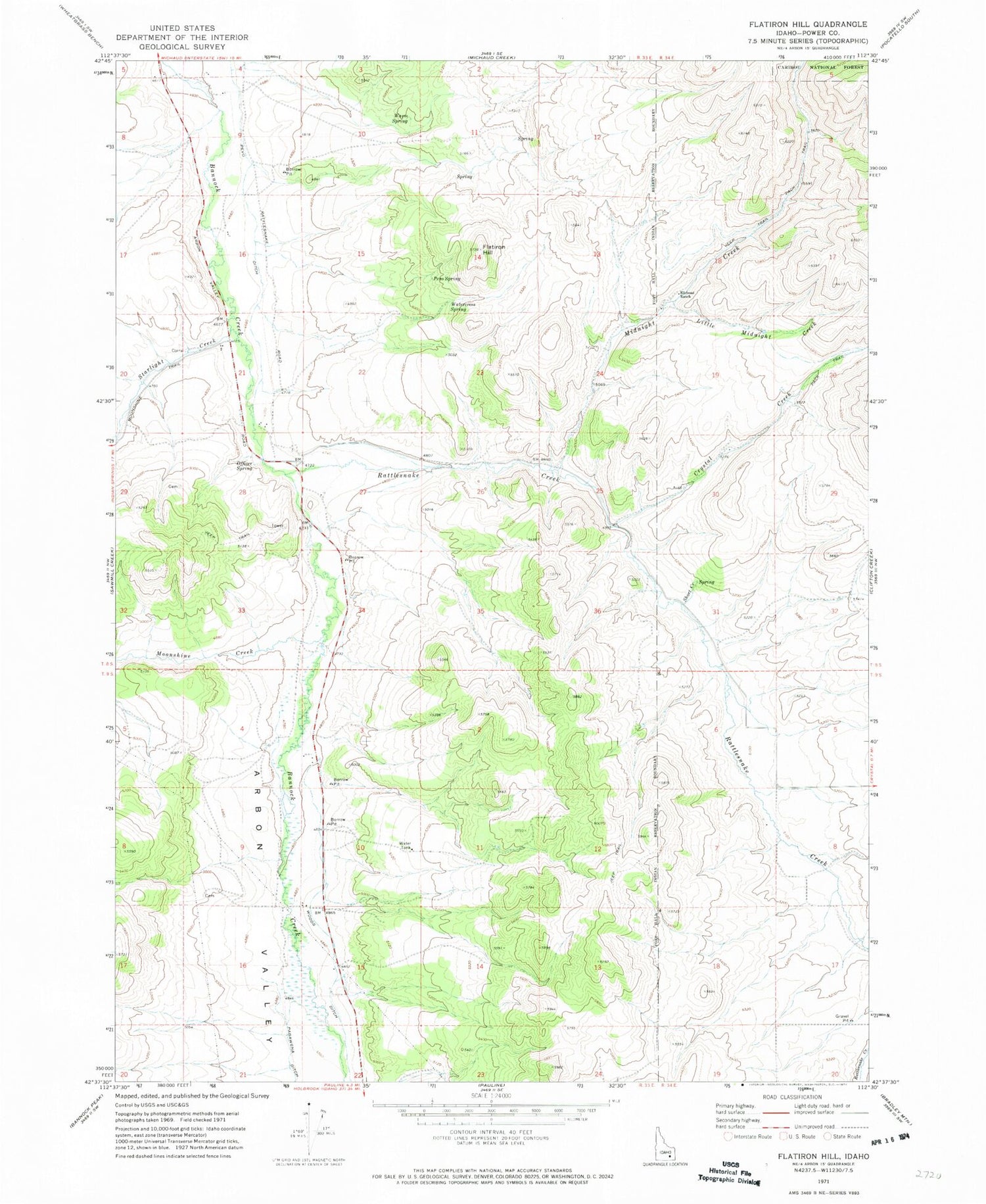
Historical USGS topographic quad map of Flatiron Hill in the state of Idaho. Map scale may vary for some years, but is generally around 1:24,000. Print size is approximately 24" x 27"
This quadrangle is in the following counties: Power.
The map contains contour lines, roads, rivers, towns, and lakes. Printed on high-quality waterproof paper with UV fade-resistant inks, and shipped rolled.
Contains the following named places: Clifton Creek, Crystal Creek, Elkhead Ranch, Flatiron Hill, Little Midnight Creek, Midnight Creek, Moonshine Creek, Officer Spring, Pevo Ditch, Pevo Spring, Rattlesnake Creek, Short Creek, Starlight Creek, Warm Spring, Watercress Spring, Woods Ditch