
MyTopo
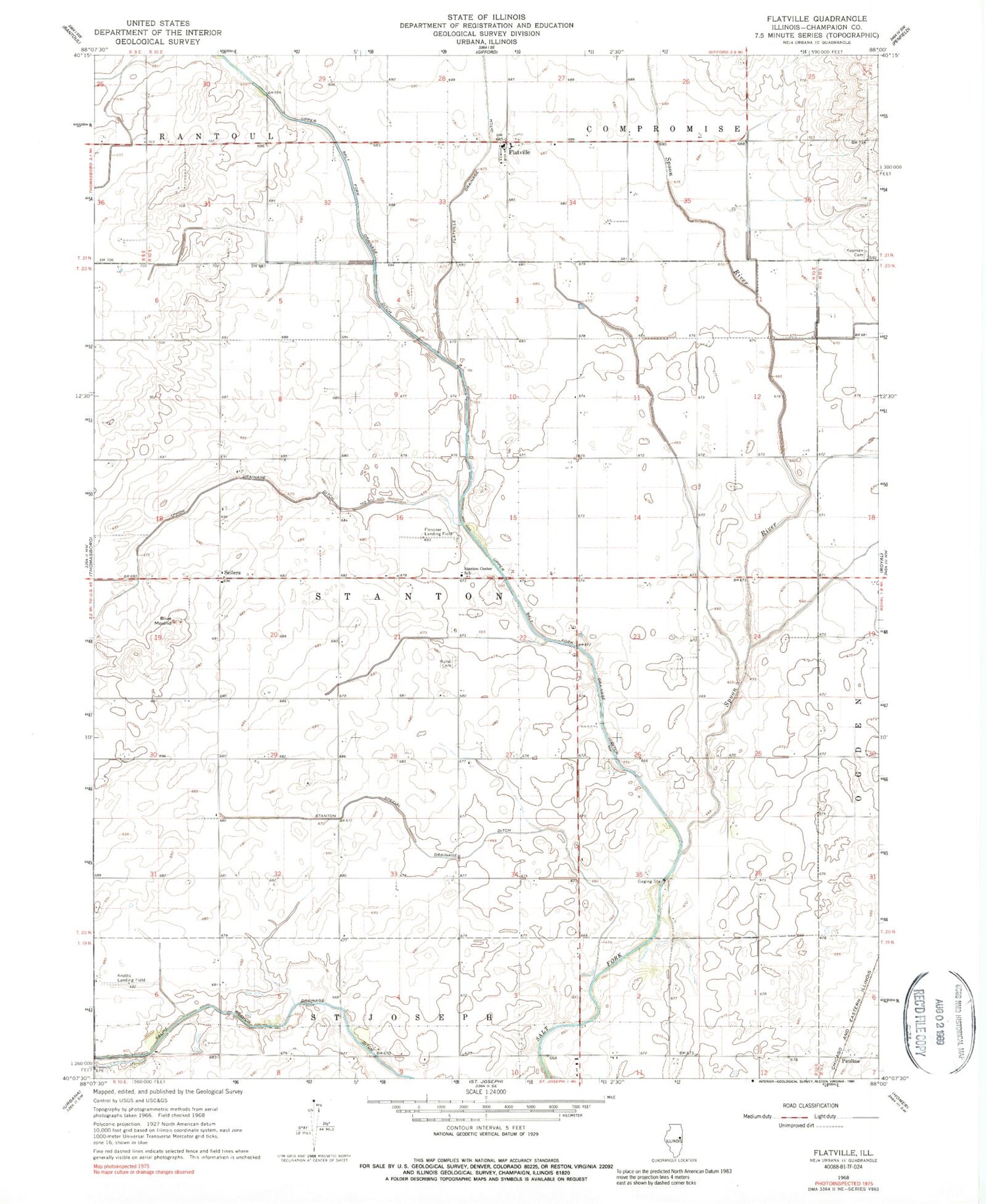
Classic USGS Flatville Illinois 7.5'x7.5' Topo Map
Couldn't load pickup availability
Historical USGS topographic quad map of Flatville in the state of Illinois. Map scale may vary for some years, but is generally around 1:24,000. Print size is approximately 24" x 27"
This quadrangle is in the following counties: Champaign.
The map contains contour lines, roads, rivers, towns, and lakes. Printed on high-quality waterproof paper with UV fade-resistant inks, and shipped rolled.
Contains the following named places: Blue Mound, Flatville, Flatville Junior High School, Flessner Landing Field, Knott Airport, Kopmann Cemetery, Liannimal's Landing, Pauline, Sellers, Spoon River, Stanton Center School, Stanton Friends Cemetery, Stanton Special Drainage Ditch, Township of Stanton, Union Drainage Ditch Number 1, Upper Salt Fork Drainage Ditch, WBGL-FM (Champaign), WZNF-FM (Rantoul), ZIP Code: 61873


