MyTopo
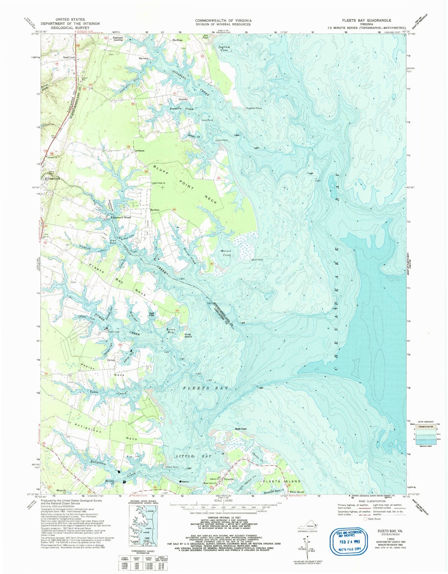
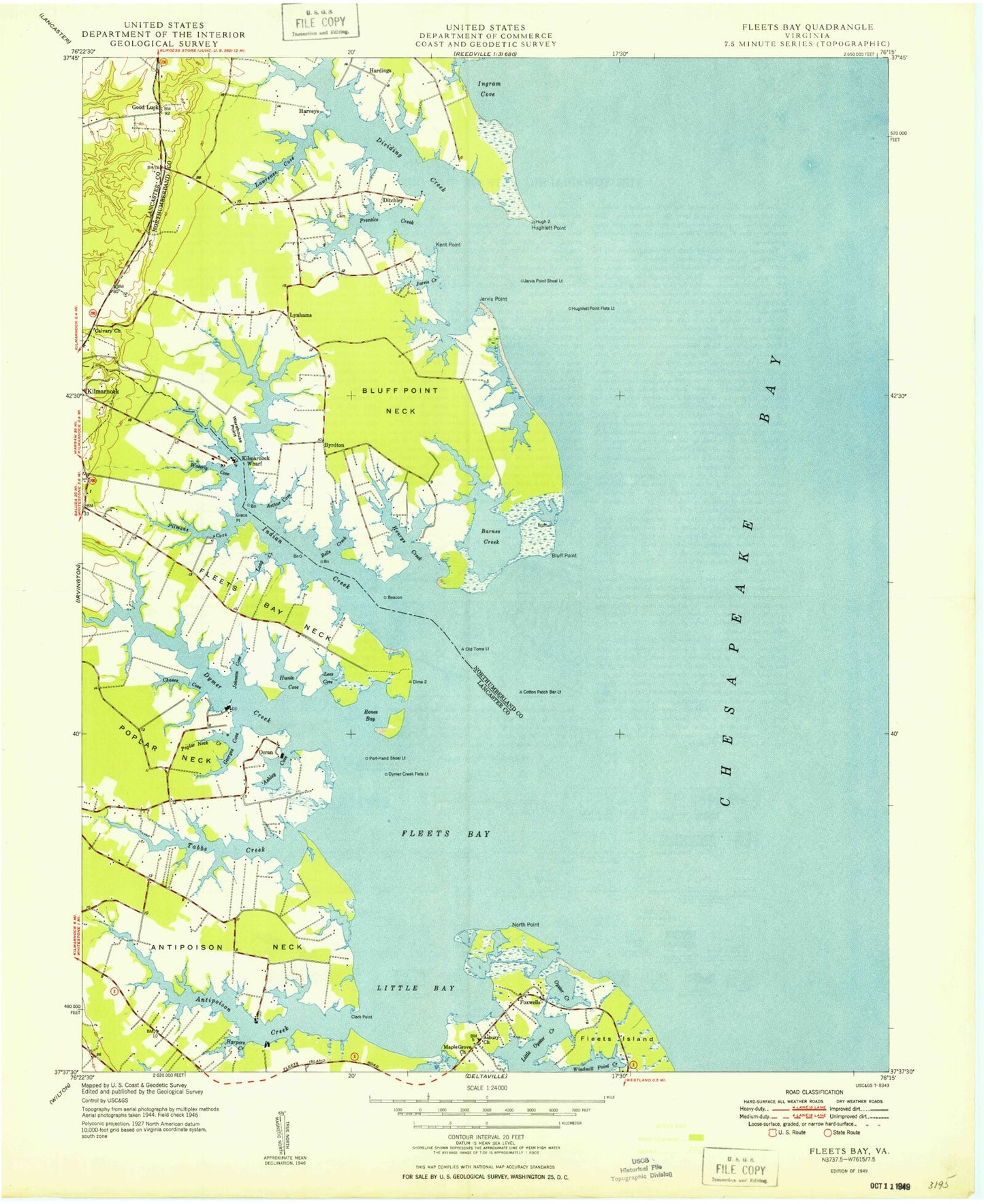
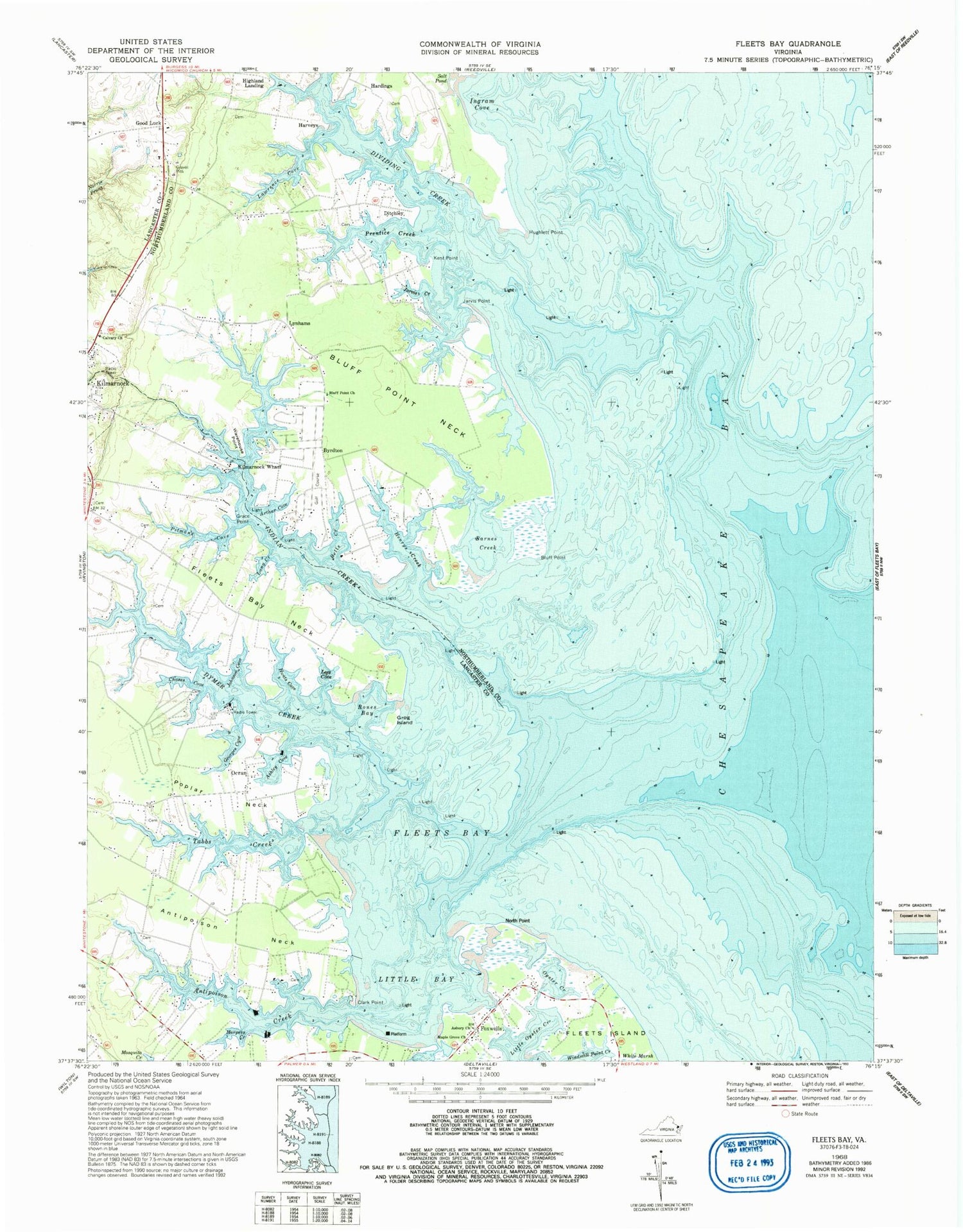
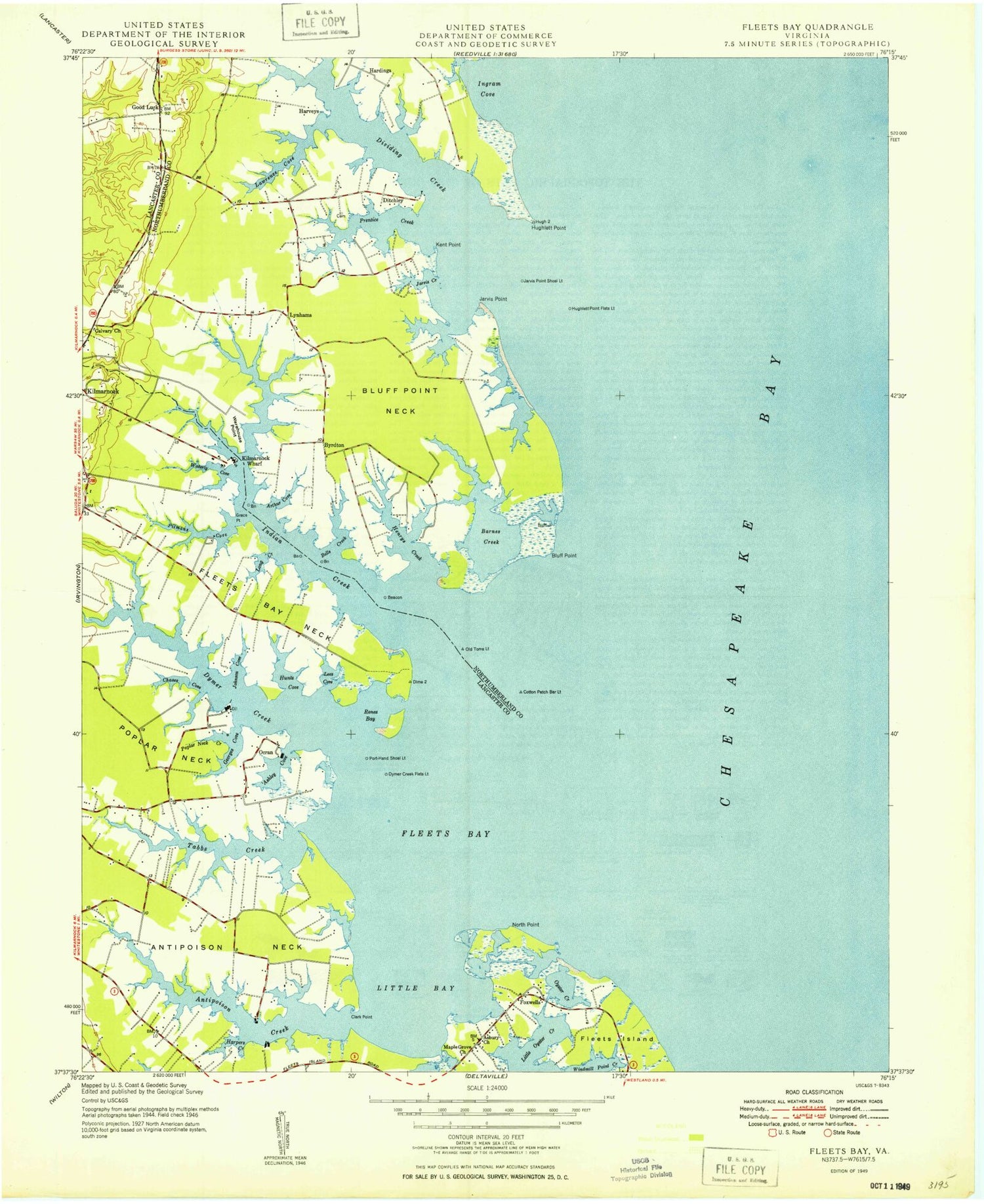
Classic USGS Fleets Bay Virginia 7.5'x7.5' Topo Map
Couldn't load pickup availability
Historical USGS topographic quad map of Fleets Bay in the state of Virginia. Map scale may vary for some years, but is generally around 1:24,000. Print size is approximately 24" x 27"
This quadrangle is in the following counties: Lancaster, Northumberland.
The map contains contour lines, roads, rivers, towns, and lakes. Printed on high-quality waterproof paper with UV fade-resistant inks, and shipped rolled.
Contains the following named places: Antepoison Point, Antipoison Creek, Antipoison Neck, Arthur Cove, Asbury Church, Ashley Cove, Barnes Creek, Bells Creek, Bluff Point, Bluff Point Church, Bluff Point Neck, Bluff Point School, Byrdton, Calvary Church, Chases Cove, Clark Point, Cotton Patch Bar Light, Crank Island, District 3, Ditchley, Dividing Creek, Dymer Creek, Dymer Light, Fleets Bay, Fleets Bay Neck, Foxwells, Georges Cove, Good Luck, Grace Point, Grog Island, Hardings, Harper Cove, Harpers Creek, Harveys, Henrys Creek, Highland Landing, Horsepen Cove, Hughlett Point, Hunts Cove, Indian Creek, Indian Creek Yacht and Country Club, Ingram Cove, Jarvis Creek, Jarvis Point, Johnson Cove, Johnson Creek, Jones School, Kent Point, Kilmarnock Wastewater Treatment Plant, Kilmarnock Wharf, Kilmarnock/Tolbert Field Airport, Lawrence Cove, Lees Cove, Little Bay, Living Hope School, Long Creek, Longbranch Airport, Lynhams, Maple Grove Church, Norris Pond, North Point, Ocran, Oyster Creek, Pitman Cove, Poplar Neck, Poplar Neck Creek, Poplarr Neck School, Prentice Creek, Rones Bay, Tabbs Creek, Warehouse Point, Waverly Cove, ZIP Codes: 22482, 22578


