MyTopo
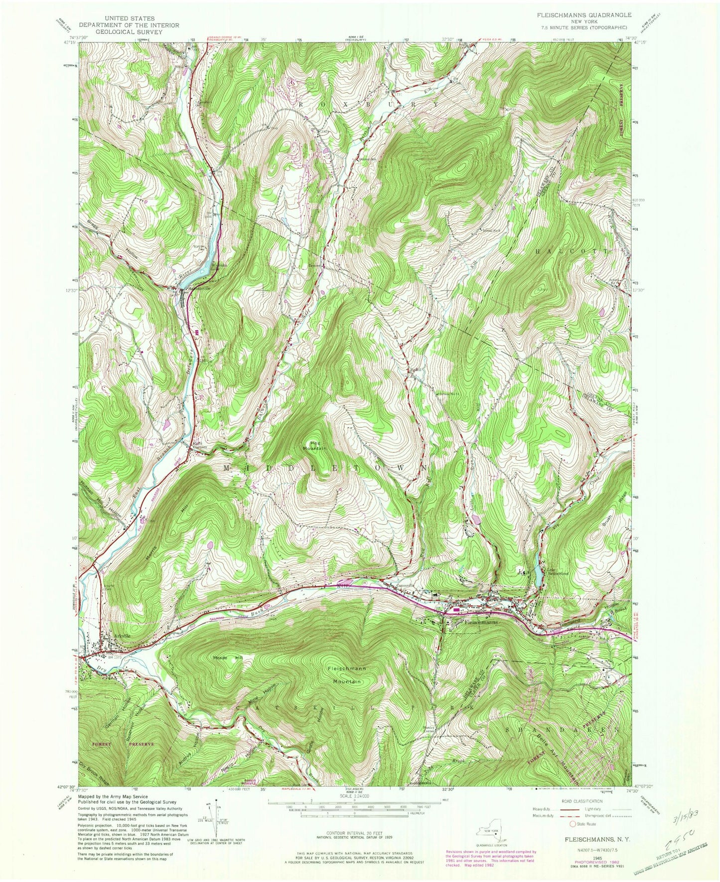
Classic USGS Fleischmanns New York 7.5'x7.5' Topo Map
Couldn't load pickup availability
Historical USGS topographic quad map of Fleischmanns in the state of New York. Typical map scale is 1:24,000, but may vary for certain years, if available. Print size: 24" x 27"
This quadrangle is in the following counties: Delaware, Greene, Ulster.
The map contains contour lines, roads, rivers, towns, and lakes. Printed on high-quality waterproof paper with UV fade-resistant inks, and shipped rolled.
Contains the following named places: Andrus Hollow, Arkville, Arkville Cemetery, Batavia Kill, Bragg Hollow, Brush Ridge, Bush Kill, Castle Hollow, Denver School (historical), Emory Brook, Fleischmann Mountain, Fleischmanns, German Hollow, Halcottsville, Hog Mountain, Hubbell Hill Hollow, Kelly Corners, Little Red Kill, Meade Hill, Meeker Hollow, Mine Hollow, Morris Hill, Negro Hollow, Red Kill, Reservoir Hollow, Schemehorn Cemetery, Halcottsville Cemetery, Lake Switzerland, Townsend Hollow, Vega Cemetery, Vly Creek, Wawaka Lake, Bedell, Denver, Hanley Corner, School Number 1 (historical), School Number 14 (historical), School Number 6 (historical), Red Kill Ridge, Village of Fleischmanns, Church of the Sacred Heart, Congregation B'nai Israel, Fleischmanns United Methodist Church, Fleischmann Athletic Park, Whipples Theatre, Skene Memorial Library, Fleischmanns Village Hall, Fleischmanns High School (historical), Clovesville, Clovesville Bible Baptist Church, Clovesville Irish Catholic Cemetery, Halcottsville Cemetery, Bedell Cemetery, Two Stones Farm, Belleayre Mountain Winter Snow Park, Hanah Country Resort Golf Course, Fleischmanns Post Office, Halcottsville Fire Department, Arkville Volunteer Fire Department, Fleischmanns Volunteer Fire Department, Arkville Post Office, Halcottsville Post Office, Denver Post Office, Wood Cemetery


