MyTopo
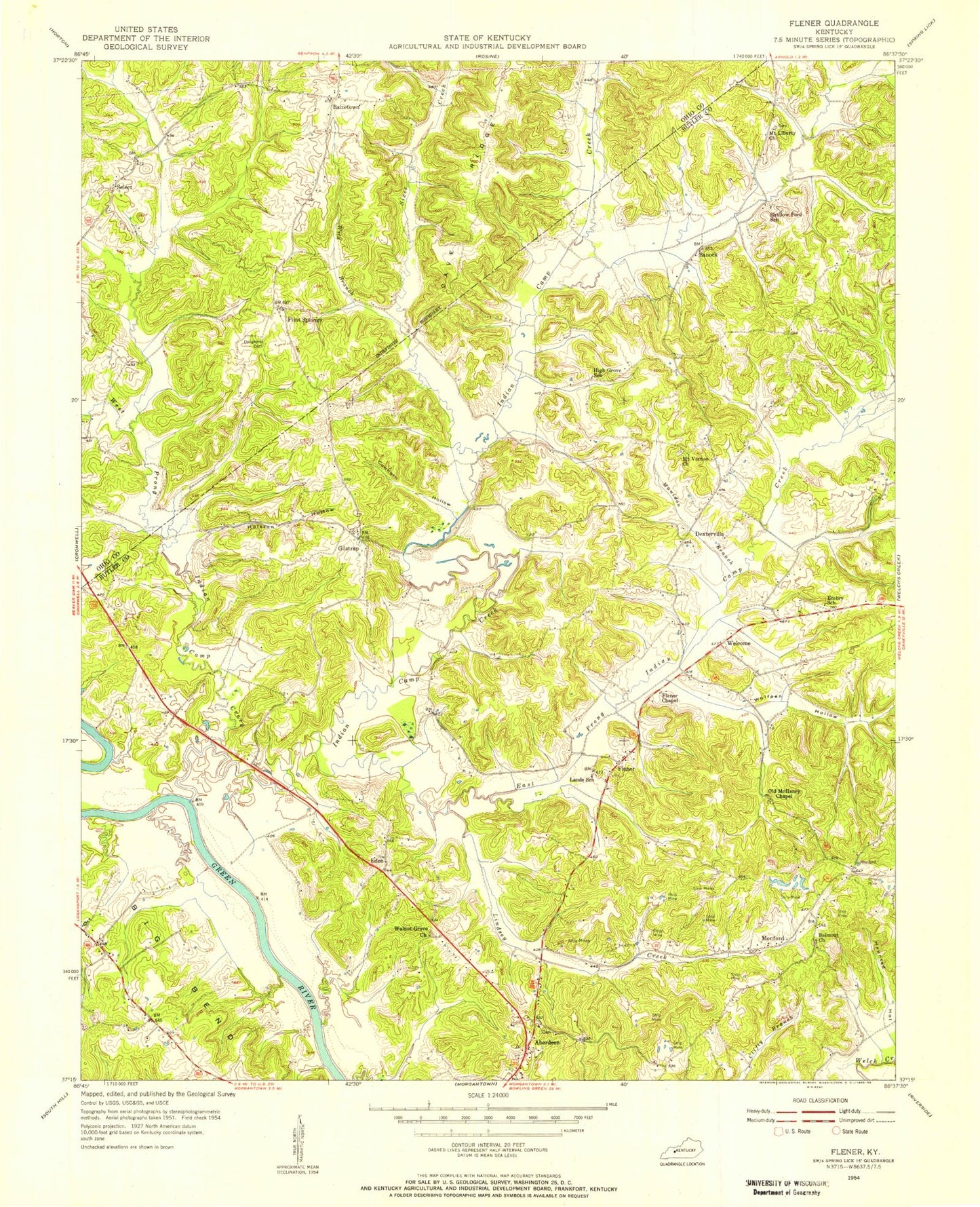
Classic USGS Flener Kentucky 7.5'x7.5' Topo Map
Couldn't load pickup availability
Historical USGS topographic quad map of Flener in the state of Kentucky. Map scale may vary for some years, but is generally around 1:24,000. Print size is approximately 24" x 27"
This quadrangle is in the following counties: Butler, Ohio.
The map contains contour lines, roads, rivers, towns, and lakes. Printed on high-quality waterproof paper with UV fade-resistant inks, and shipped rolled.
Contains the following named places: Aberdeen, Aberdeen Post Office, Baizetown, Banock, Belmont Church, Cowhorn Hollow, Cromwell Fire Department, Dexterville, East Prong Indian Camp Creek, Eden, Fifth District School, Fifth District Volunteer Fire Department Station 2, Flener, Flener Chapel, Flint Springs, Fourth District Volunteer Fire Department Main Station, Gilstrap, Green River Boys Camp, Haunted Hollow, Holston Hollow, Indian Camp Creek, Lindsey Creek, Mauldon Branch, McKendree Chapel, Monford, Mount Liberty Church, Mount Vernon Church, Mount Zion Church, North Prong Indian Camp Creek, Rattlesnake Hollow, Select, Sixes Creek, Stillhouse Hollow, Walnut Grove Church, Welchs Creek Division, Welcome, West Prong Indian Camp Creek, Wild Branch, Wolfpen Hollow


