MyTopo
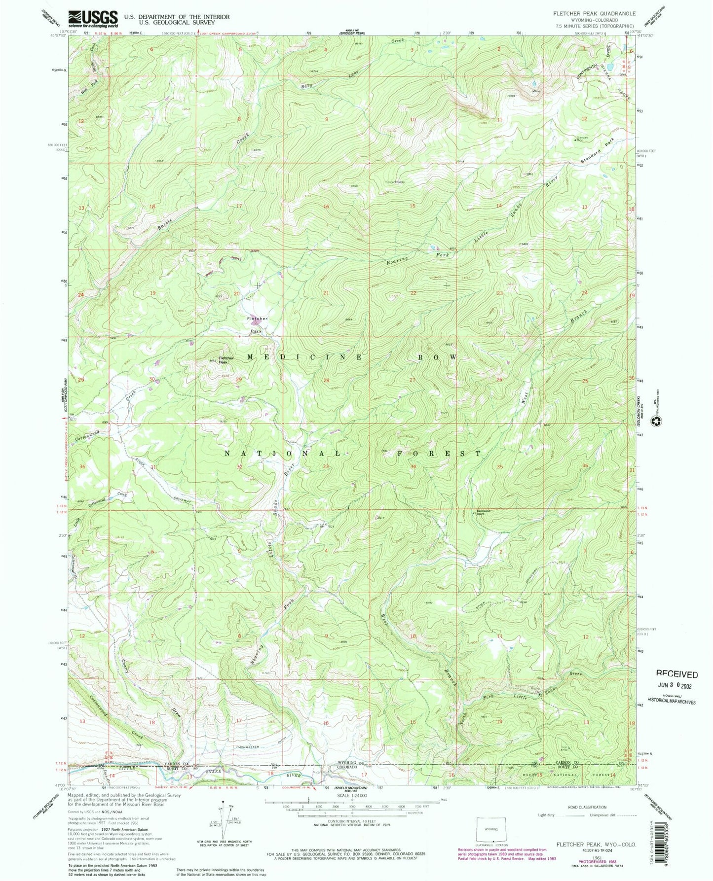
Classic USGS Fletcher Peak Wyoming 7.5'x7.5' Topo Map
Couldn't load pickup availability
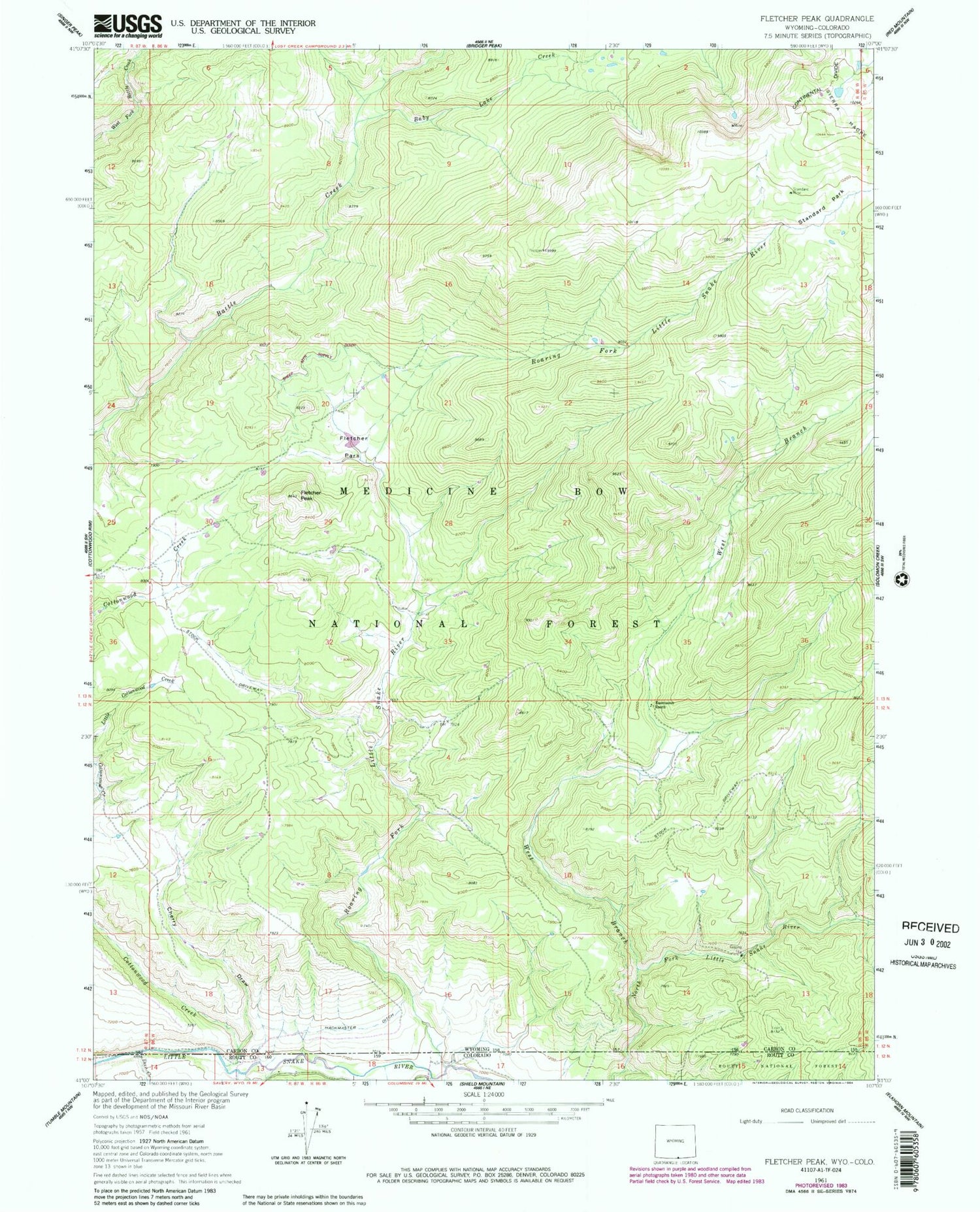
Historical USGS topographic quad map of Fletcher Peak in the states of Wyoming, Colorado. Typical map scale is 1:24,000, but may vary for certain years, if available. Print size: 24" x 27"
This quadrangle is in the following counties: Carbon, Routt.
The map contains contour lines, roads, rivers, towns, and lakes. Printed on high-quality waterproof paper with UV fade-resistant inks, and shipped rolled.
Contains the following named places: Deer Creek, Roaring Fork, Haggarty Creek, Baby Lake Creek, Deer Creek, Fletcher Park, Fletcher Peak, Hackmaster Ditch, Little Snake River, Rasmusson Ranch, Roaring Fork Little Snake River, Standard Mine, Standard Park, West Branch North Fork Little Snake River, North Fork Group Mine, Pease Placers Mine, Three Forks Group Mine, Standard Park Area Mine, Aspen Creek, Karen Creek, Mallard Creek, Meadow Creek, Rabbit Creek, Sherard Creek, Standard Creek, Victoria Post Office (historical), Cottonwood Creek, Cherry Draw


