MyTopo
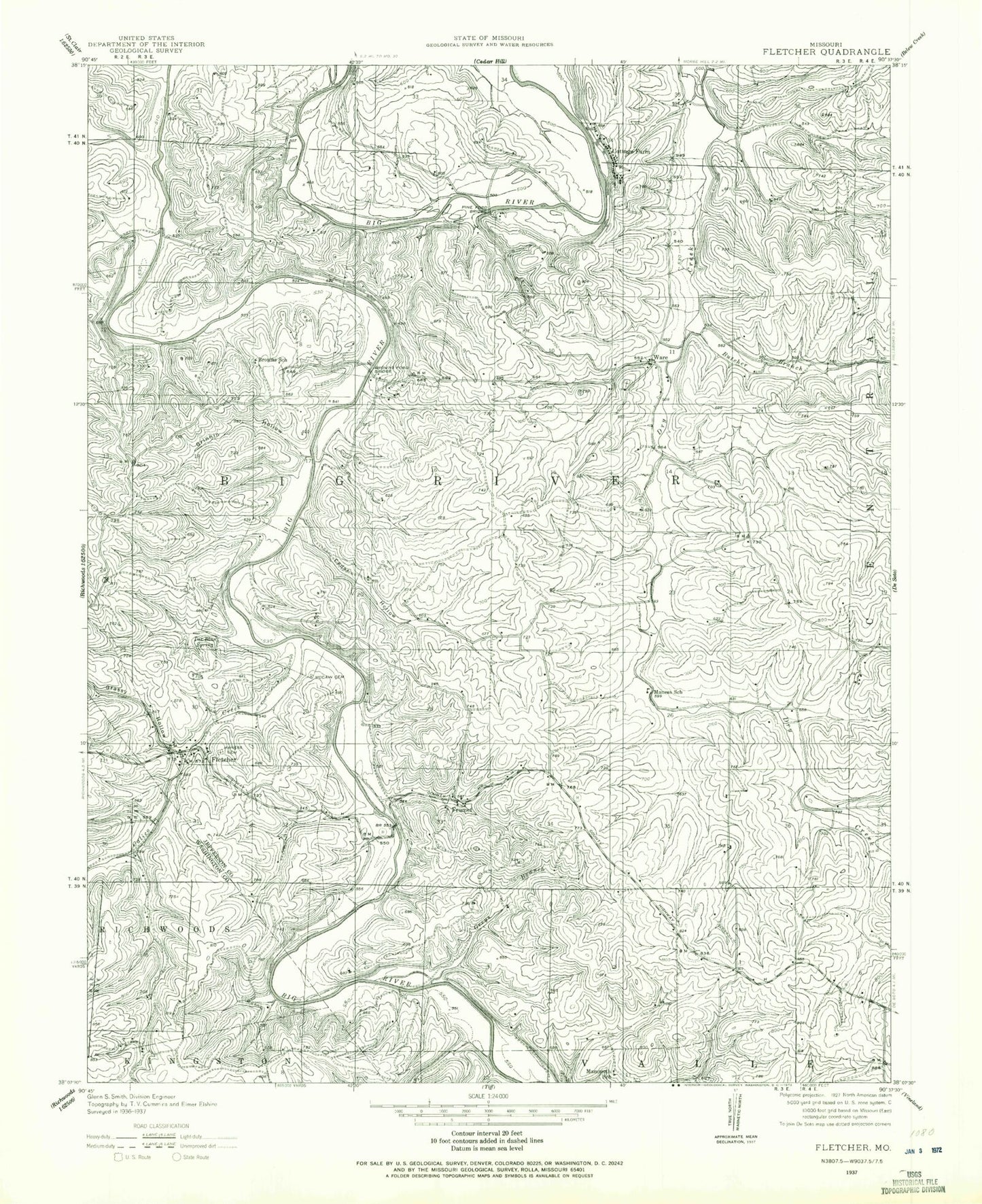
Classic USGS Fletcher Missouri 7.5'x7.5' Topo Map
Couldn't load pickup availability
Historical USGS topographic quad map of Fletcher in the state of Missouri. Map scale may vary for some years, but is generally around 1:24,000. Print size is approximately 24" x 27"
This quadrangle is in the following counties: Jefferson, Washington.
The map contains contour lines, roads, rivers, towns, and lakes. Printed on high-quality waterproof paper with UV fade-resistant inks, and shipped rolled.
Contains the following named places: Anderson Lake, Anderson Lake Dam, Brown School, Browns Ford Bridge, Browns School, Butcher Branch, Calico Creek, Cedar Hollow, Cottage Farm, De Soto Rural Fire Protection District Station 3, Ditch Creek, Flat Rock Lake Dam, Fletcher, Frumet, Grassy Hollow, Greys Branch, Grinnin Hollow, Gus Creek, Harness Bluff, Hoot Owl Hollow, Kinnippi Lake, Kinnippi Lake Dam, Kruze Creek, Lake George, Lake George Dam, Lake Lorene Dam, Mammoth School, Mammouth School, Maness Cemetery, Maness School, Maupin Creek, McCain Cemetery, McKean School, Mount Freedom, Mount Hope School, Oakland Cemetery, Paw-Paw Lake, Paw-Paw Lake Dam, Pine Ford Bridge, Pine Ford Lake, Reynolds Creek, Ridenour Hollow, Stafford Cemetery, Tar Blue Spring, Taylor Lake Dam, Township of Big River, Ware, Ware Lake, Ware Lake Dam, Yellow Rock Hollow


