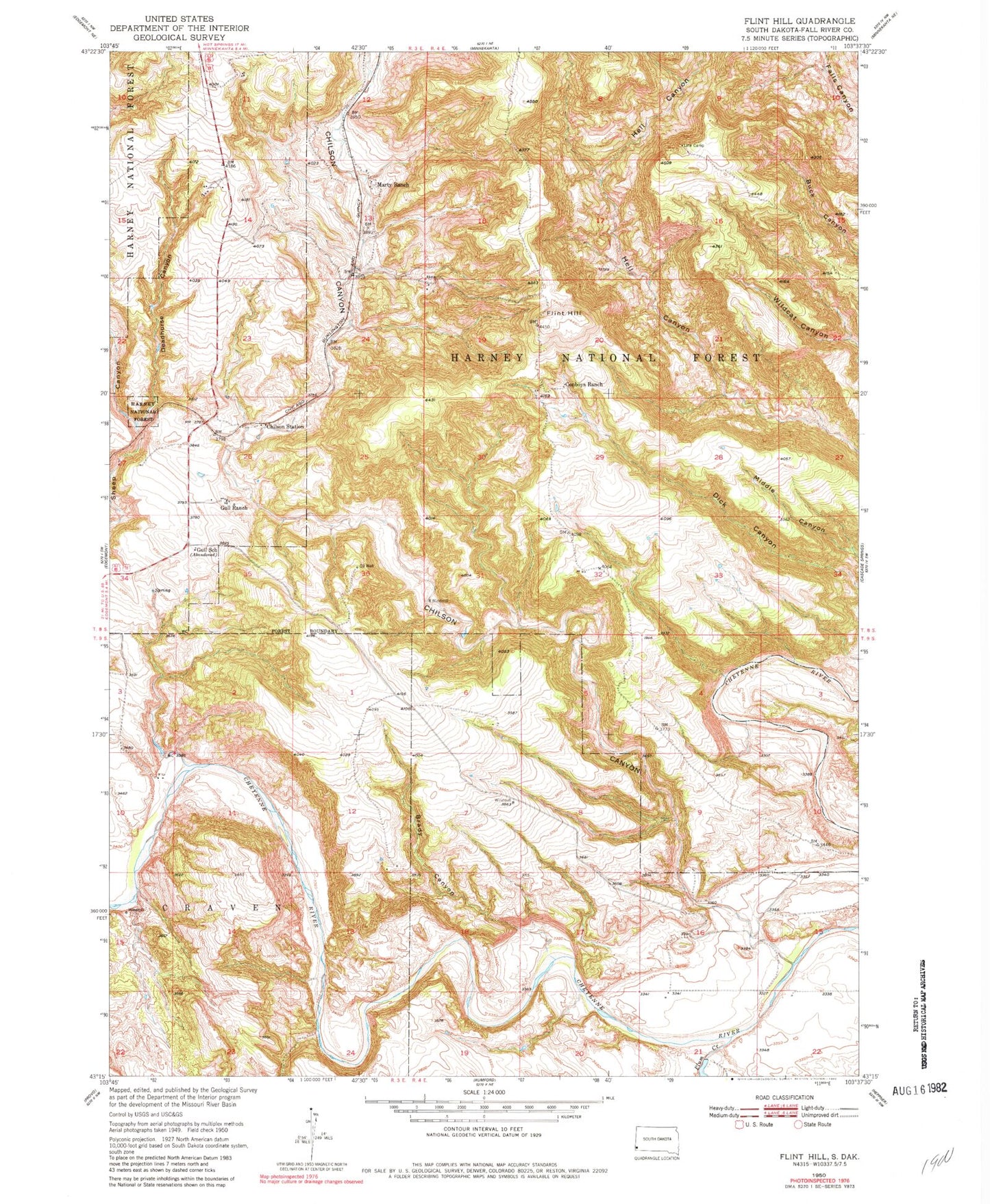
MyTopo
Classic USGS Flint Hill South Dakota 7.5'x7.5' Topo Map
Regular price
$16.95
Regular price
Sale price
$16.95
Unit price
per
Couldn't load pickup availability
Historical USGS topographic quad map of Flint Hill in the state of South Dakota. Typical map scale is 1:24,000, but may vary for certain years, if available. Print size: 24" x 27"
This quadrangle is in the following counties: Fall River.
The map contains contour lines, roads, rivers, towns, and lakes. Printed on high-quality waterproof paper with UV fade-resistant inks, and shipped rolled.
Contains the following named places: Brady Canyon, Chilson Canyon, Conboys Ranch, Deadhorse Canyon, Flint Hill, Gull Ranch, Gull School, Line Camp, Marty Ranch, Plum Creek, Chilson Mountain, Devil Canyon, Wolf Canyon, Chilson Station, Township of Craven