MyTopo
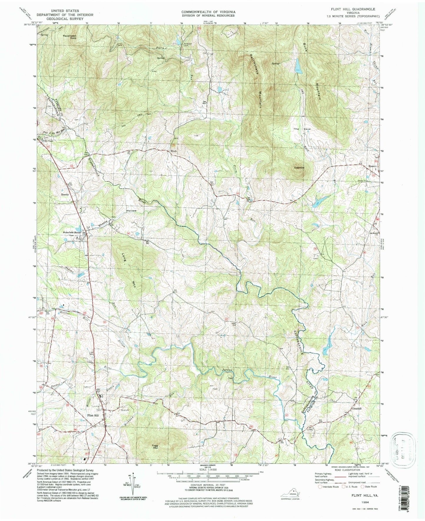
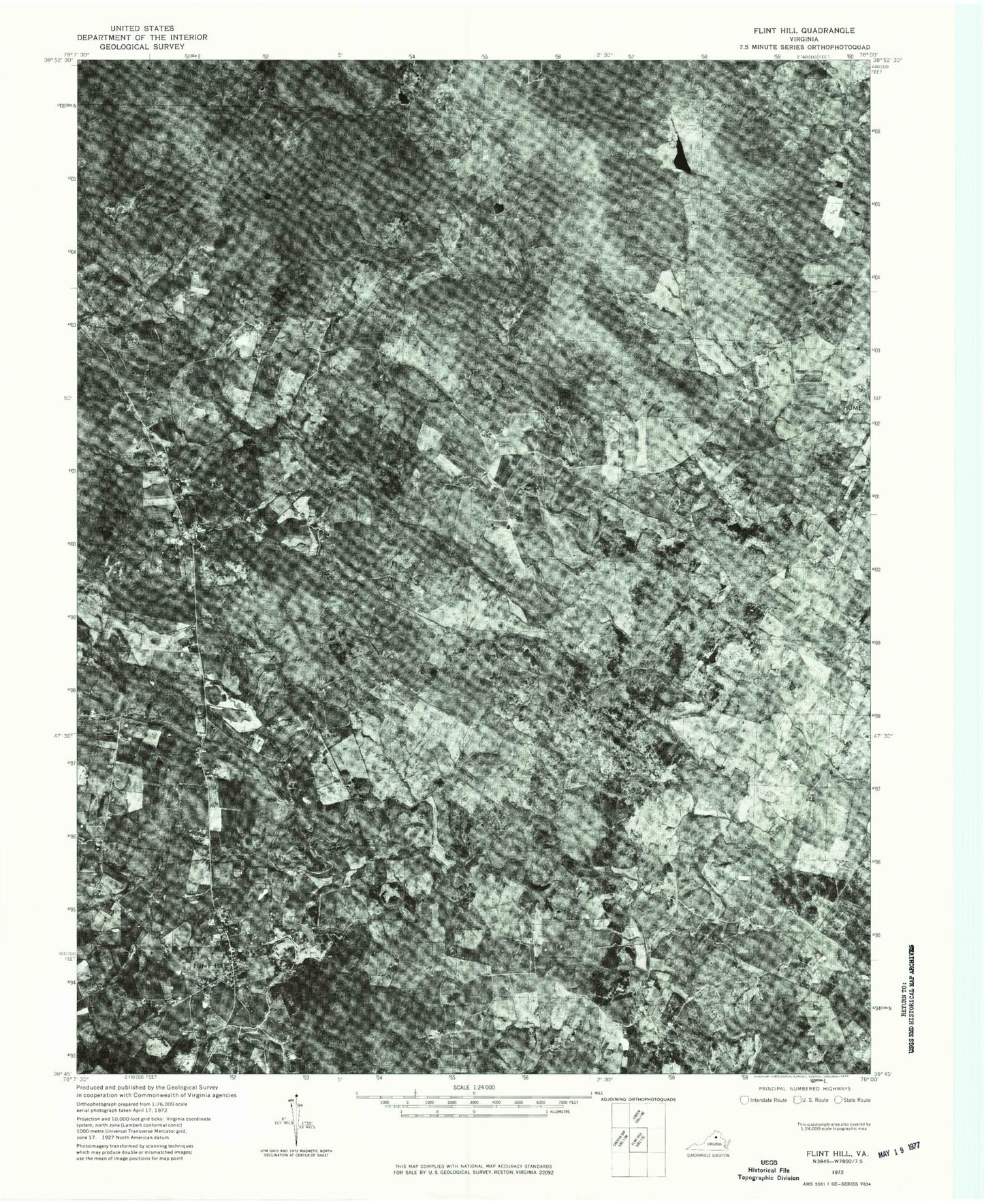
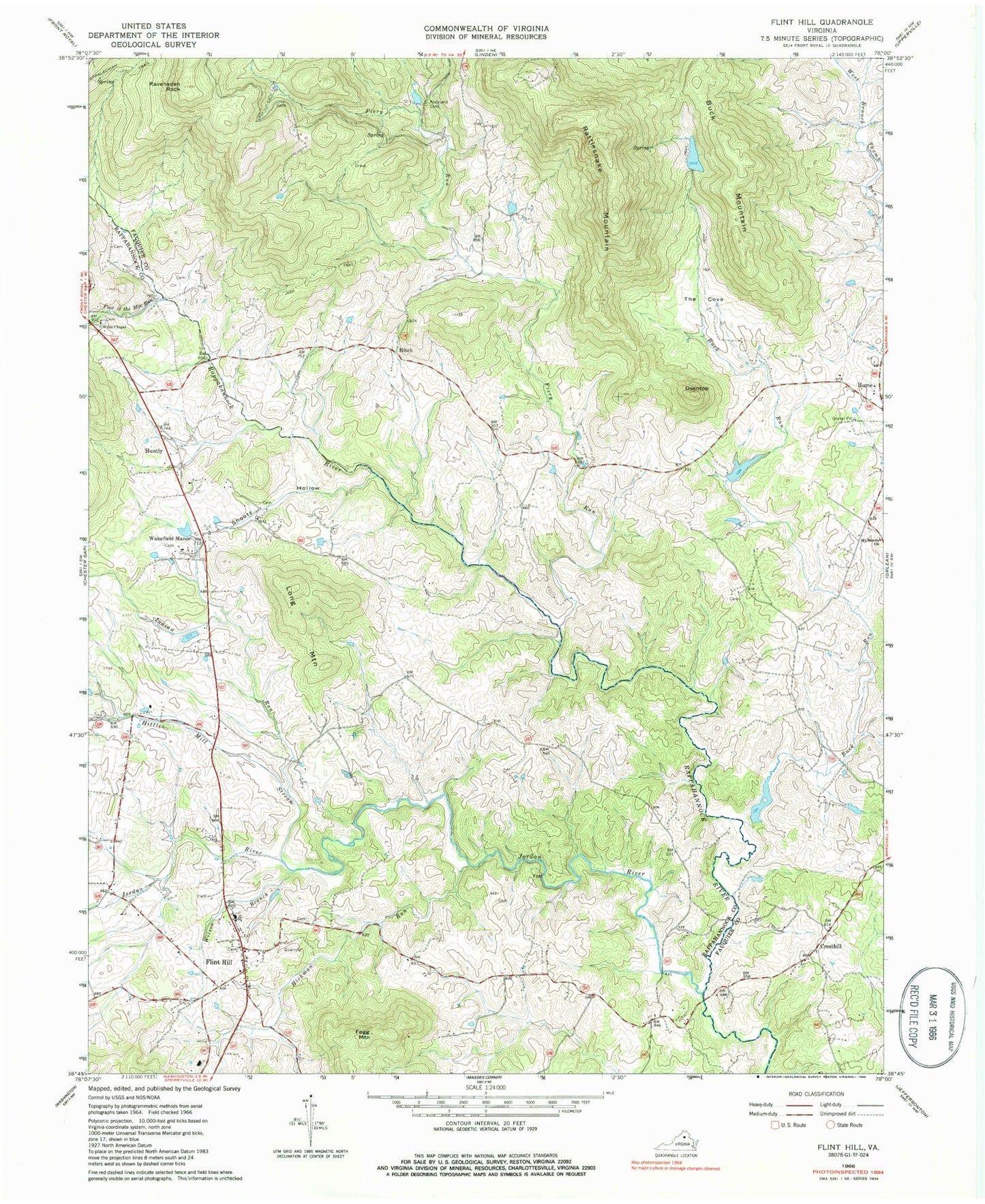
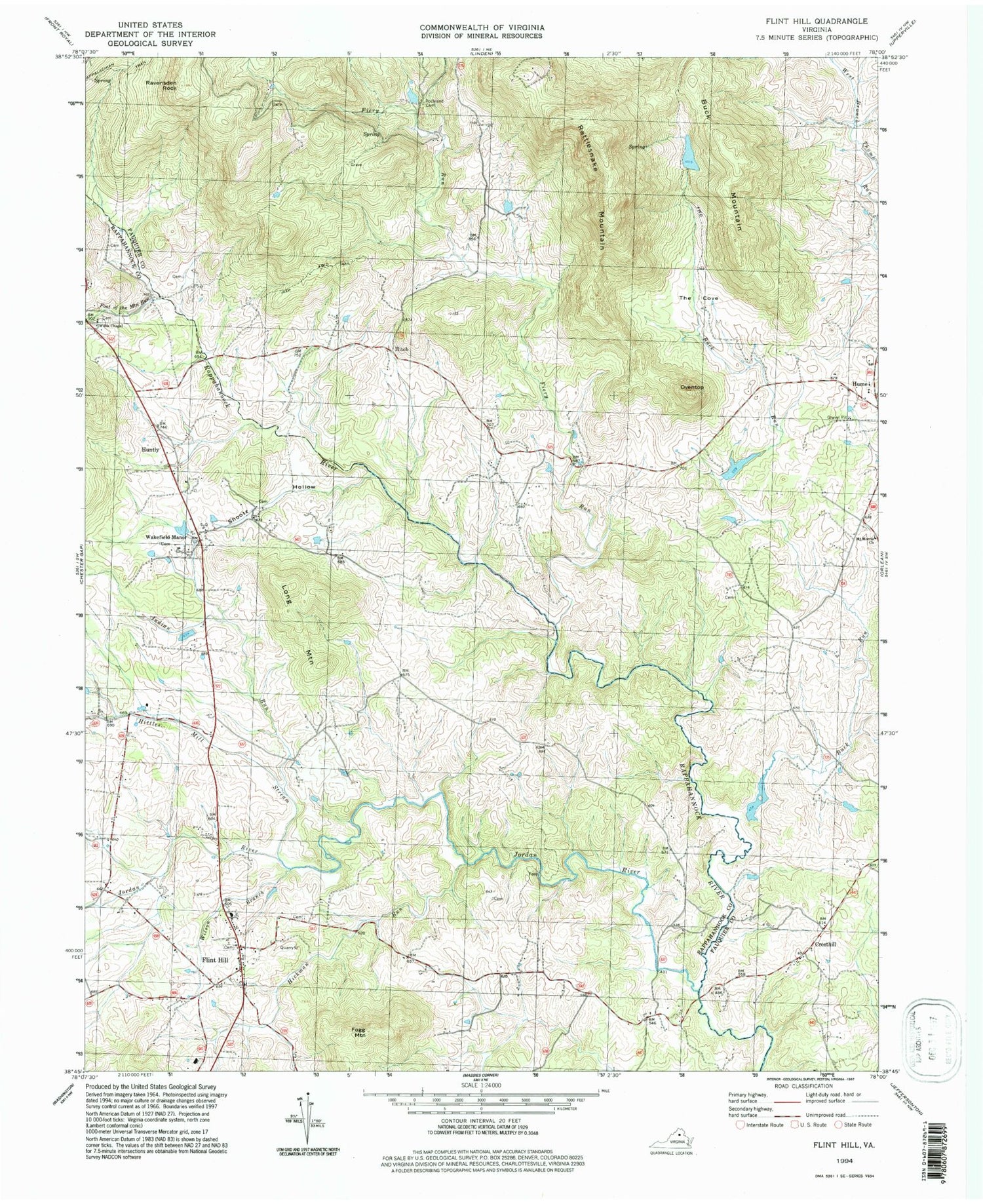
Classic USGS Flint Hill Virginia 7.5'x7.5' Topo Map
Couldn't load pickup availability
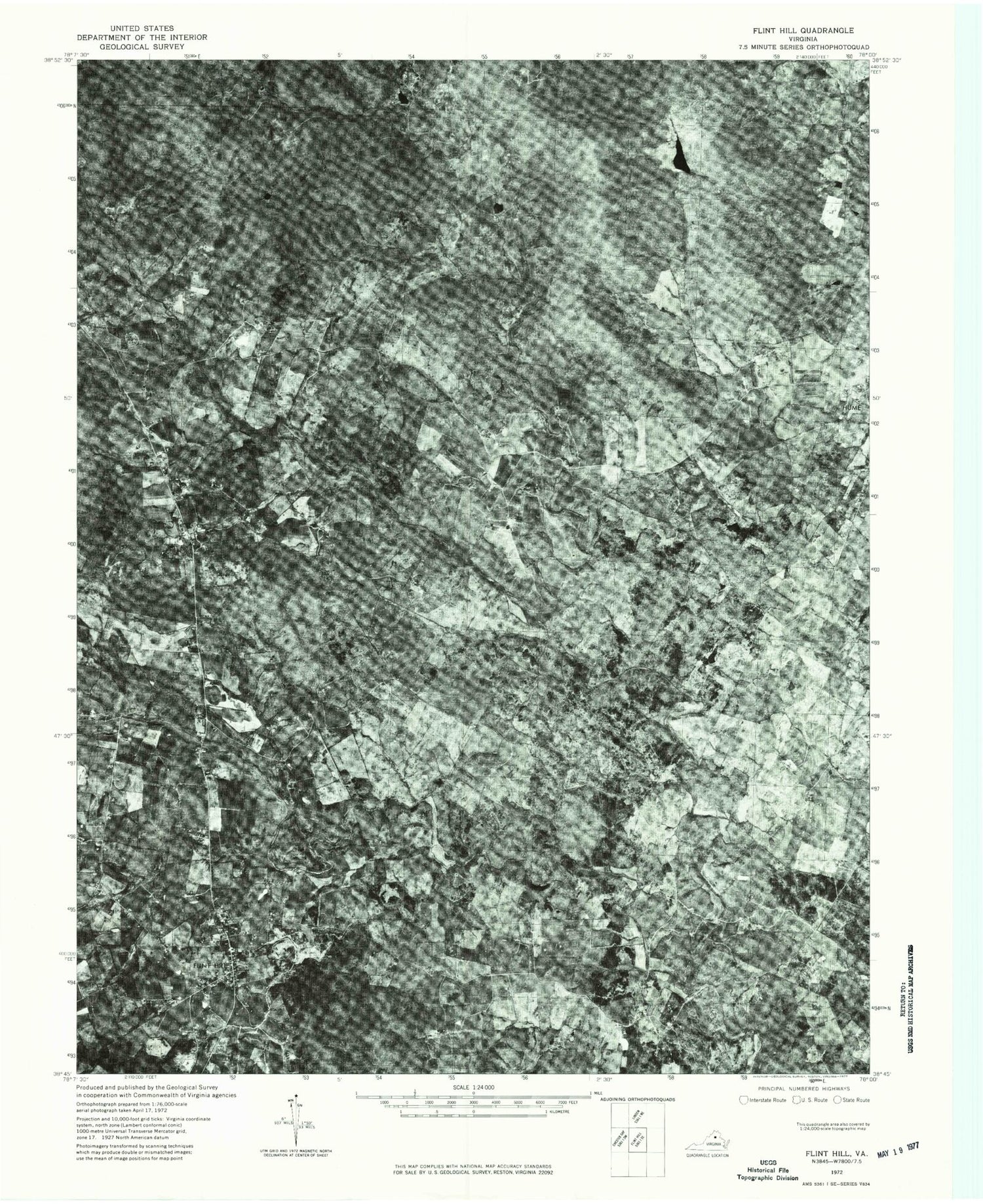
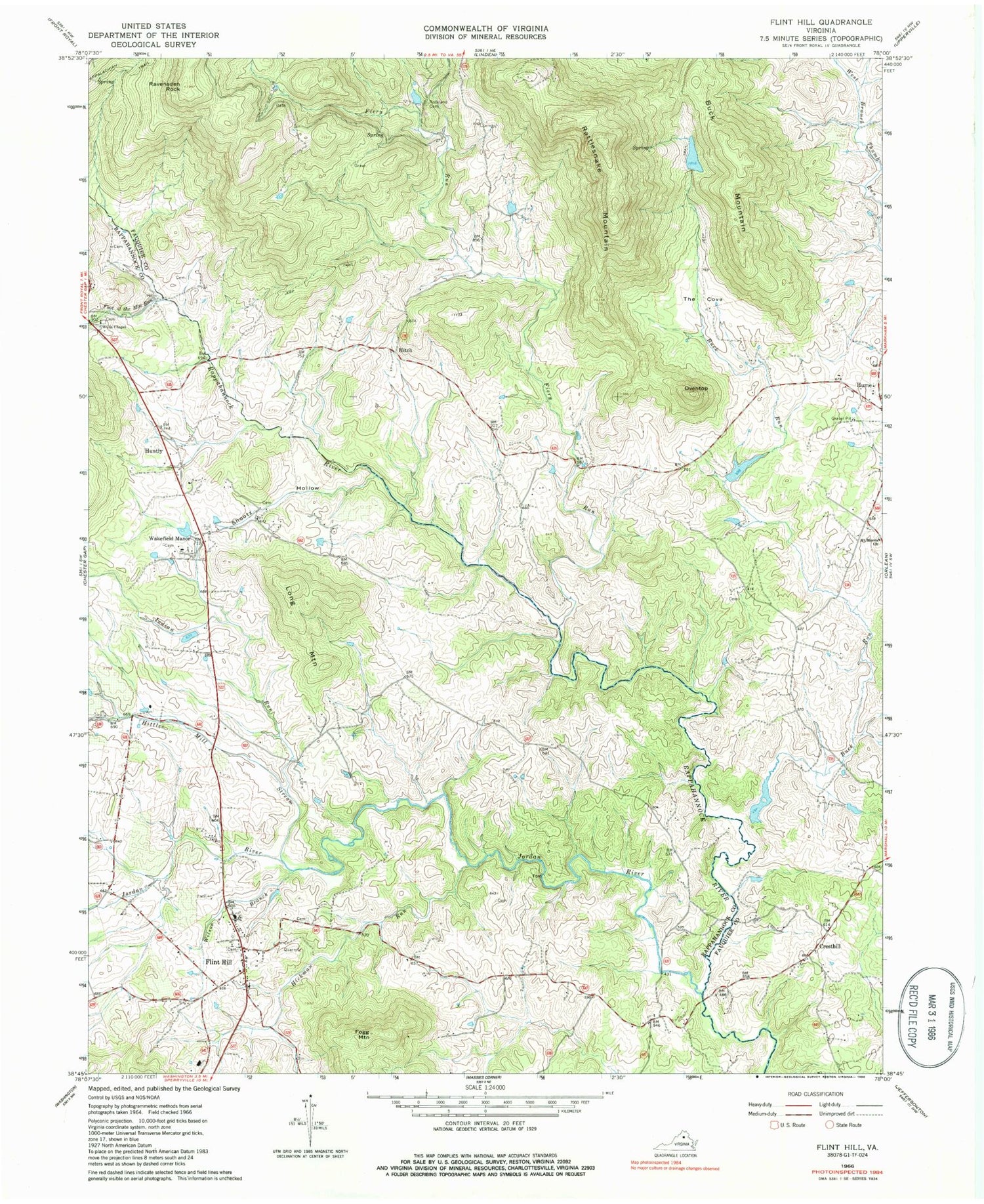
Historical USGS topographic quad map of Flint Hill in the state of Virginia. Typical map scale is 1:24,000, but may vary for certain years, if available. Print size: 24" x 27"
This quadrangle is in the following counties: Fauquier, Rappahannock.
The map contains contour lines, roads, rivers, towns, and lakes. Printed on high-quality waterproof paper with UV fade-resistant inks, and shipped rolled.
Contains the following named places: Fiery Run, Foot of the Mountain Run, Hickman Run, Hitch, Hittles Mill Stream, Indian Run, Jordan River, Oventop, Ravensden Rock, Rockland Cemetery, Shootz Hollow, The Cove, Willis Chapel, Wilson Branch, Digulian Dam, Digulin Pond, Sawyer Dam, Sawyer Pond, Barr Dam, Barr Pond, Pickett Dam, Pickett Lake, Buck Mountain, Cresthill, Flint Hill, Fogg Mountain, Huntly, Long Mountain, Rattlesnake Mountain, Wakefield Manor, Flint Hill Baptist Church, Flint Hill Methodist Church, Flint Hill School (historical), Huntly School (historical), Keysville, Lottie School (historical), Macedonia Baptist Church, Reager, Reager School (historical), Walnut Branch, Black Rock Ford, Crest Hill Baptist Church, Cresthill School (historical), Hitch School (historical), Hume School (historical), Rattlesnake Trail, Rock Ford, Rockland Church (historical), Wakefield District, Flint Hill Volunteer Fire Department, Wakefield Country Day School, Flint Hill Census Designated Place, Flint Hill Post Office, Fiery Run, Foot of the Mountain Run, Hickman Run, Hitch, Hittles Mill Stream, Indian Run, Jordan River, Oventop, Ravensden Rock, Rockland Cemetery, Shootz Hollow, The Cove, Willis Chapel, Wilson Branch, Digulian Dam, Digulin Pond, Sawyer Dam, Sawyer Pond, Barr Dam, Barr Pond, Pickett Dam, Pickett Lake, Buck Mountain, Cresthill, Flint Hill, Fogg Mountain, Huntly, Long Mountain, Rattlesnake Mountain, Wakefield Manor, Flint Hill Baptist Church, Flint Hill Methodist Church, Flint Hill School (historical), Huntly School (historical), Keysville, Lottie School (historical), Macedonia Baptist Church, Reager, Reager School (historical), Walnut Branch, Black Rock Ford, Crest Hill Baptist Church, Cresthill School (historical), Hitch School (historical), Hume School (historical), Rattlesnake Trail, Rock Ford, Rockland Church (historical), Wakefield District, Flint Hill Volunteer Fire Department, Wakefield Country Day School, Flint Hill Census Designated Place, Flint Hill Post Office
