MyTopo
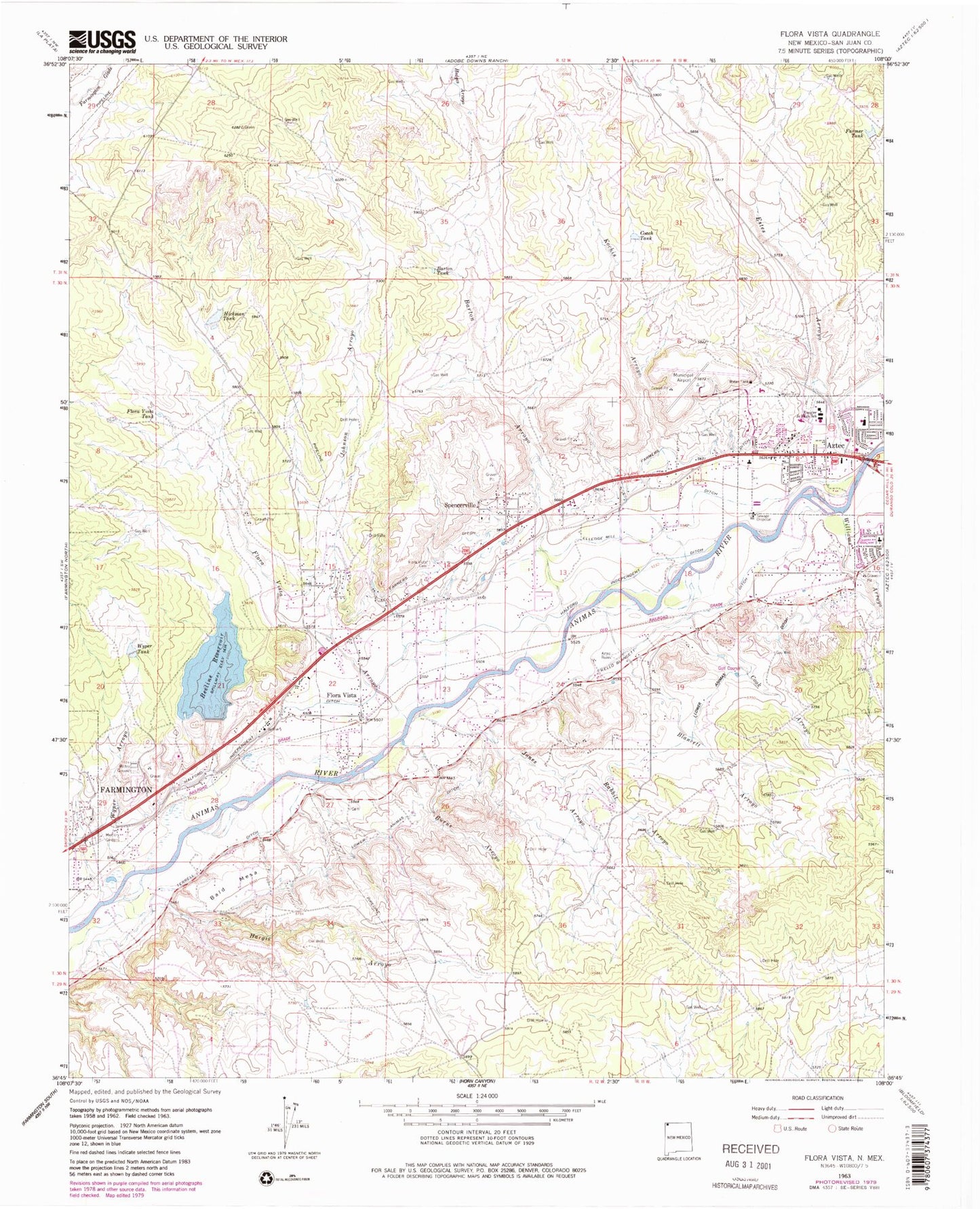
Classic USGS Flora Vista New Mexico 7.5'x7.5' Topo Map
Couldn't load pickup availability
Historical USGS topographic quad map of Flora Vista in the state of New Mexico. Map scale may vary for some years, but is generally around 1:24,000. Print size is approximately 24" x 27"
This quadrangle is in the following counties: San Juan.
The map contains contour lines, roads, rivers, towns, and lakes. Printed on high-quality waterproof paper with UV fade-resistant inks, and shipped rolled.
Contains the following named places: Airport Pit, Aztec Gypsum Prospect, Aztec Municipal Airport, Aztec Peach Spring, Aztec Ruins, Bald Mesa, Barton Arroyo, Barton Tank, Beeline Farmington Number 3 Reservoir Dam, Beeline Reservoir, Blancett Arroyo, Burns Arroyo, Coach Tank, Cook Arroyo, Elledge Mill Ditch, Estes Arroyo, Farmer Tank, Farmers Ditch, Farmington Lodge 24 of IOOF Cemetery, First Baptist Church, Flora Vista, Flora Vista Arroyo, Flora Vista Cemetery, Flora Vista Census Designated Place, Flora Vista Post Office, Flora Vista Tank, Hargis Arroyo, Hedges Arroyo, Hickman Tank, Holy Trinity Parish, Johnson Arroyo, Jones Arroyo, KCEM-AM (Aztec), Kello Blancett Ditch, Kochis Arroyo, Koogler Junior High School, KRZE-AM (Farmington), Lake Farmington, Lower Animas Ditch, Memory Gardens, North Light Plant Census Designated Place, Rabbit Arroyo, San Juan County Fire District 2 - Flora Vista Station 3, San Juan County Fire District 2 Flora Vista Station 1, San Juan County Fire District 2 Flora Vista Station 2, San Juan County Fire District 8 - Hart Valley Station 1, San Juan County Sheriff's Office Aztec, South River Census Designated Place, Spencerville, Spencerville Census Designated Place, Spencerville Pit, Terrell Ditch, Williams Arroyo, Wyper Arroyo, Wyper Tank, ZIP Code: 87415


