
MyTopo
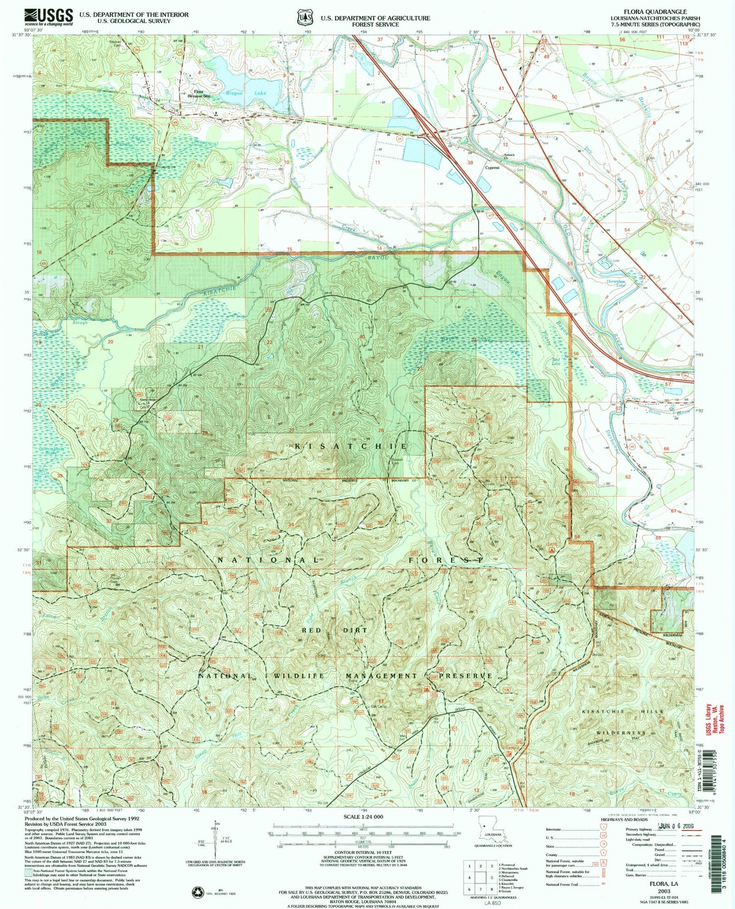
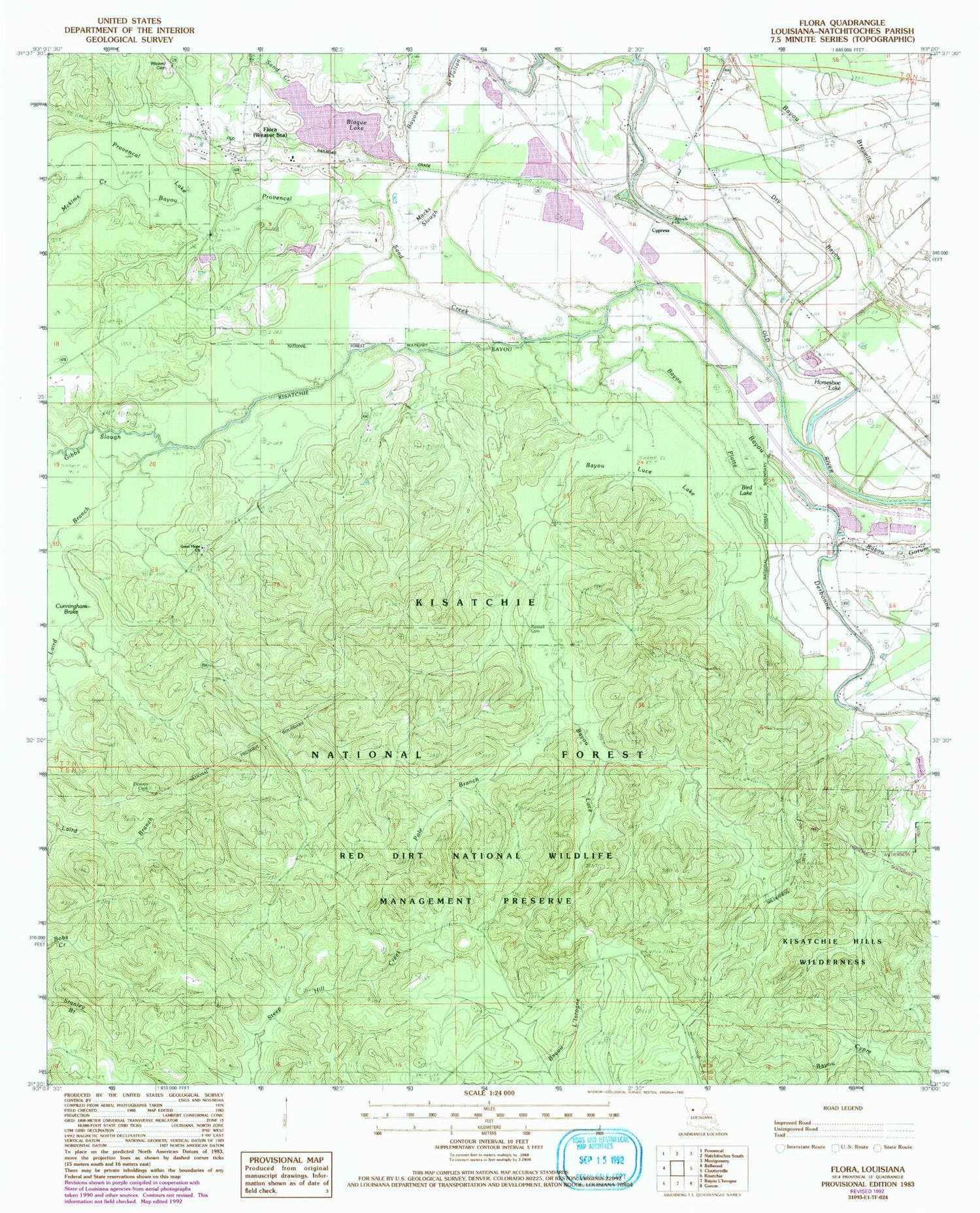
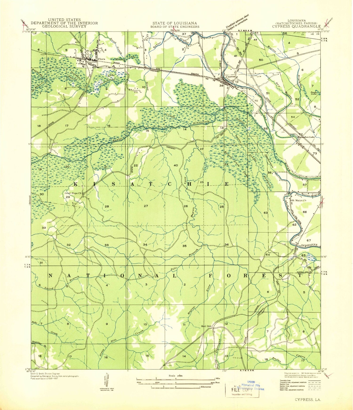
Classic USGS Flora Louisiana 7.5'x7.5' Topo Map
Couldn't load pickup availability
Historical USGS topographic quad map of Flora in the state of Louisiana. Map scale may vary for some years, but is generally around 1:24,000. Print size is approximately 24" x 27"
This quadrangle is in the following counties: Natchitoches.
The map contains contour lines, roads, rivers, towns, and lakes. Printed on high-quality waterproof paper with UV fade-resistant inks, and shipped rolled.
Contains the following named places: Antioch Church, Bayou Blue, Bayou Derbonne, Bayou Gorum, Bayou Luce, Bayou Luce Lake, Bayou Luce Overlook, Bayou Platte, Bayou Provencal, Bayou Saint Julian, Bird Lake, Blague Lake, Cypress, Cypress Post Office, Dowen Cemetery, Dry Bayou, Flora, Flora Post Office, Flora School, Good Hope Church, Good Hope School, Horseshoe Lake, Kisatchie Bayou, Laird Branch, McKims Creek, Melrose Overlook, Parish Governing Authority District 10, Pentecost Church, Pole Branch, Provencal Lake, Red Dirt, Russell Cemetery, Russell School, Saint Marys Church, Sand Creek, Ward Four, Weaver Cemetery


