MyTopo
Classic USGS Florence SW Wisconsin 7.5'x7.5' Topo Map
Couldn't load pickup availability
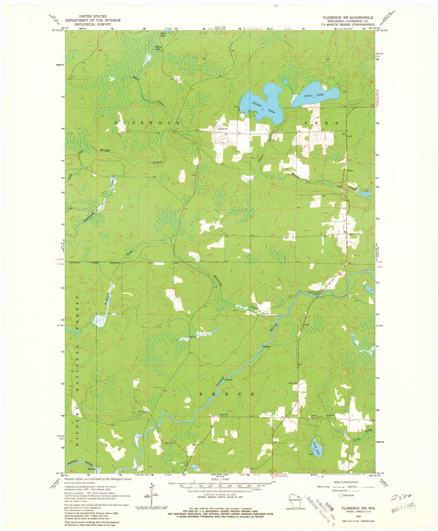
Historical USGS topographic quad map of Florence SW in the state of Wisconsin. Map scale may vary for some years, but is generally around 1:24,000. Print size is approximately 24" x 27"
This quadrangle is in the following counties: Florence.
The map contains contour lines, roads, rivers, towns, and lakes. Printed on high-quality waterproof paper with UV fade-resistant inks, and shipped rolled.
Contains the following named places: Bluebird School, Cody Creek, Fern, Fern School, Florence County, Florence County Park Recreation Site, Haley Creek, Haley Lake, Haymarsh Creek, Hegstrom Lake, Hendricks Creek, Lund Lake, Patten Creek, Patten Lake, Price Lake, Spur Three, Woods Creek 2WP656 Dam, Woods Creek Pond 45