
MyTopo
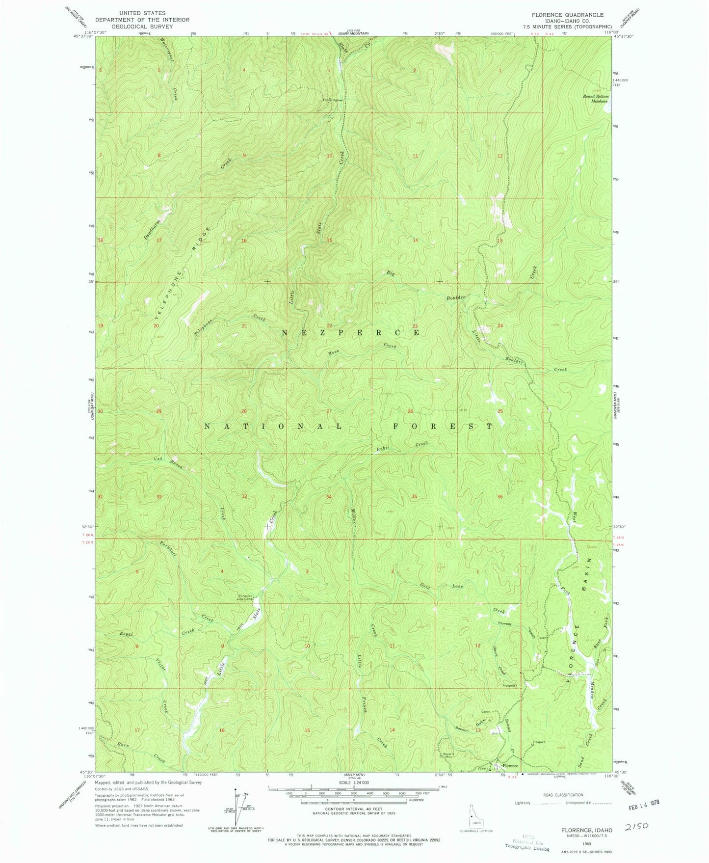
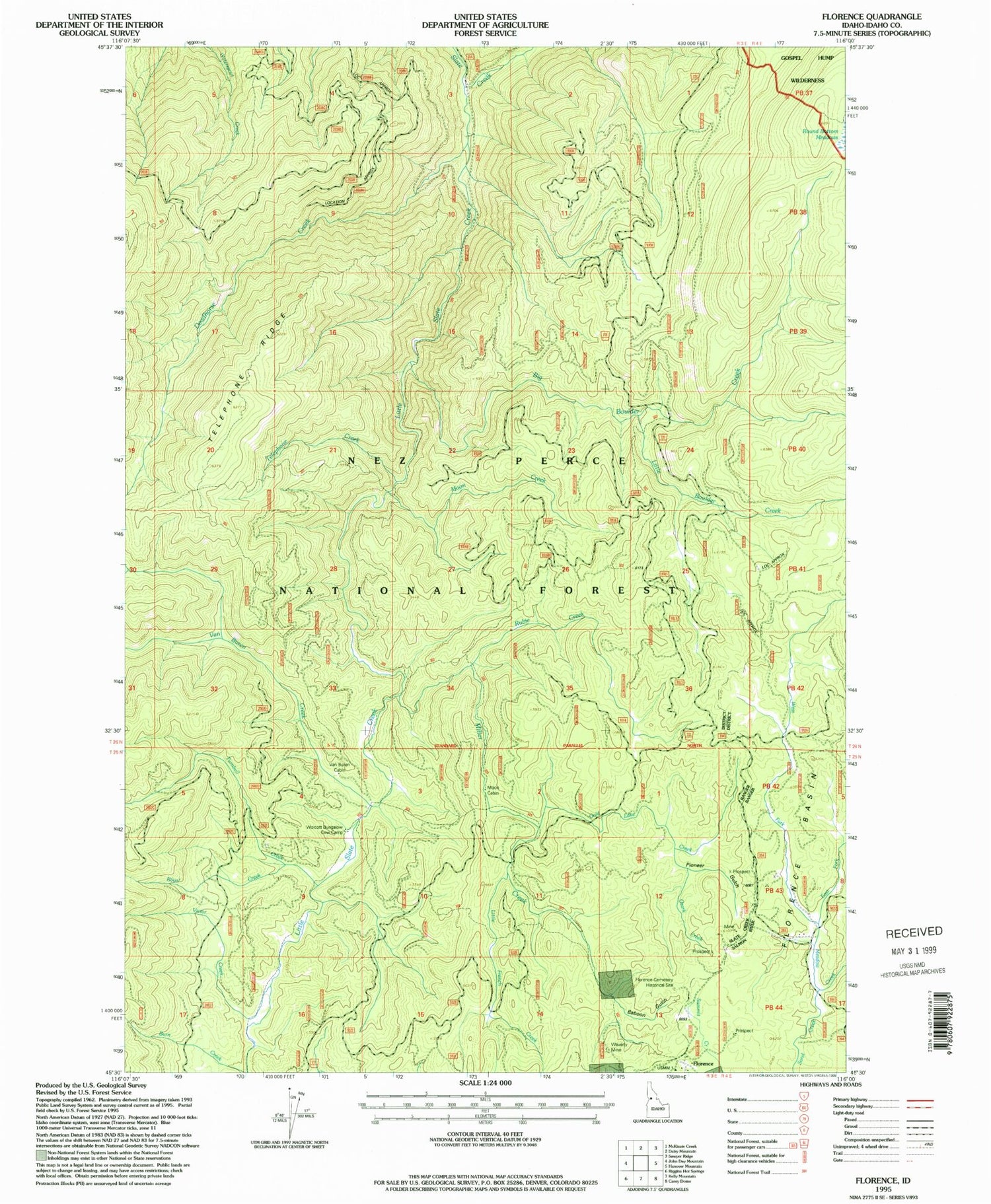
Classic USGS Florence Idaho 7.5'x7.5' Topo Map
Couldn't load pickup availability
Historical USGS topographic quad map of Florence in the state of Idaho. Typical map scale is 1:24,000, but may vary for certain years, if available. Print size: 24" x 27"
This quadrangle is in the following counties: Idaho.
The map contains contour lines, roads, rivers, towns, and lakes. Printed on high-quality waterproof paper with UV fade-resistant inks, and shipped rolled.
Contains the following named places: Baboon Gulch, Big Boulder Creek, Bungalow Cow Camp, Deadhorse Creek, East Fork Meadow Creek, Florence Basin, Gold Lake Creek, Little Boulder Creek, Little French Creek, Little Slate Creek, Miller Creek, Moon Creek, Ozark Creek, Pioneer Gulch, Round Bottom Meadows, Royal Creek, Rubie Creek, Sand Creek, Telephone Creek, Telephone Ridge, Turnbull Creek, Van Buren Creek, Victor Creek, Waverly Mine, West Fork Meadow Creek, Moon Cabin, Florence Cemetery, Humbug Gulch, Florence, Sampson, Scott Williams