MyTopo
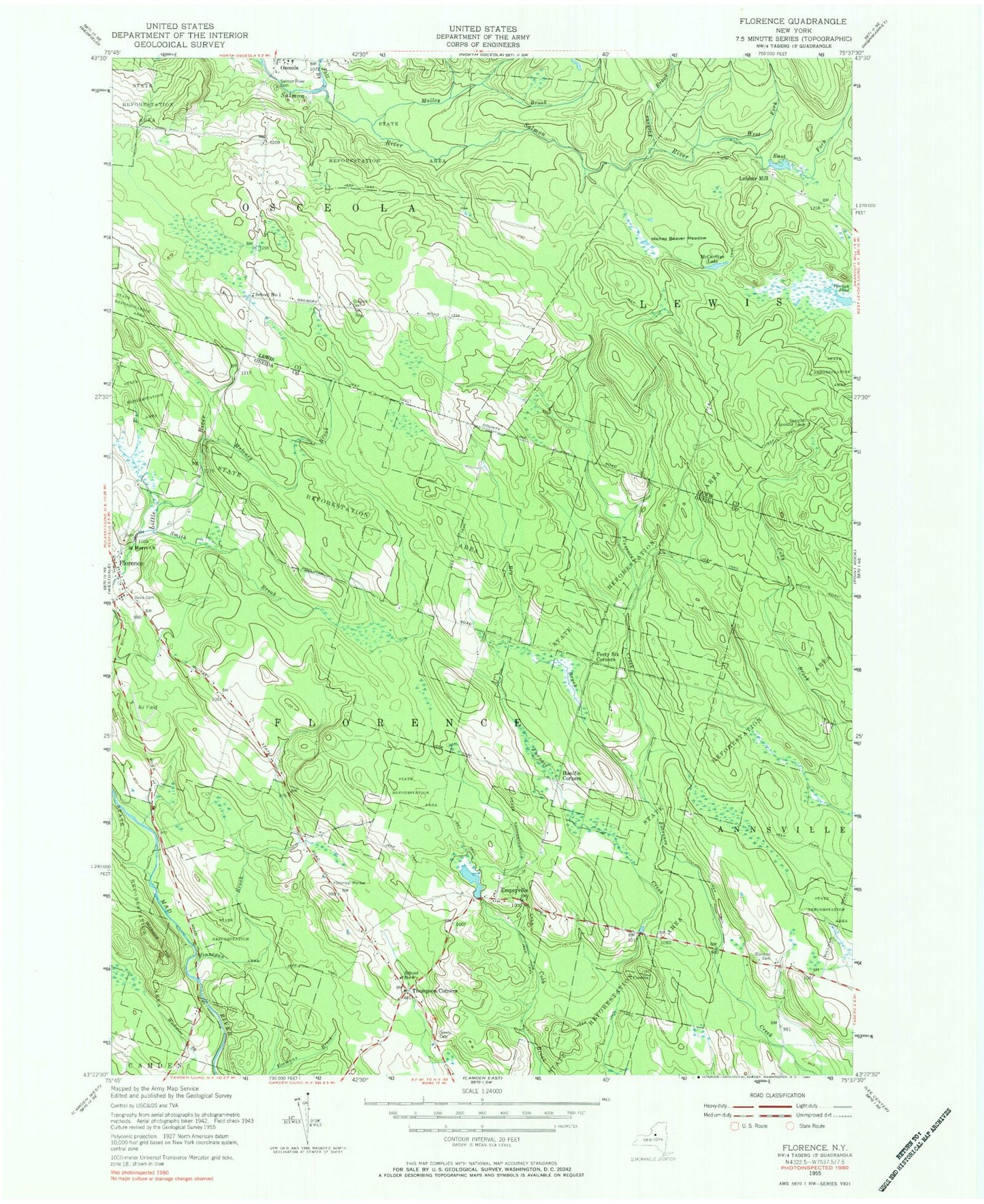
Classic USGS Florence New York 7.5'x7.5' Topo Map
Couldn't load pickup availability
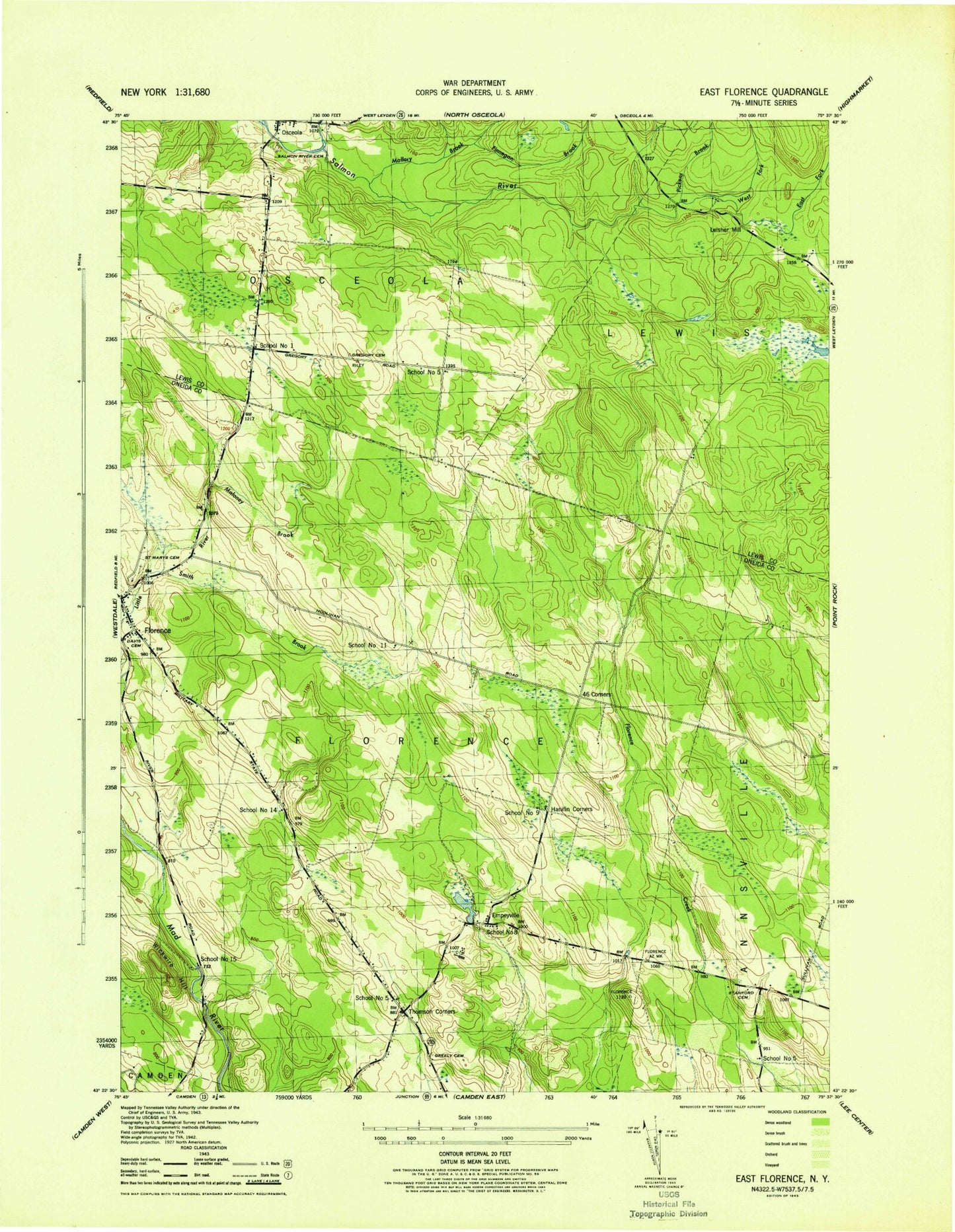
Historical USGS topographic quad map of Florence in the state of New York. Typical map scale is 1:24,000, but may vary for certain years, if available. Print size: 24" x 27"
This quadrangle is in the following counties: Lewis, Oneida.
The map contains contour lines, roads, rivers, towns, and lakes. Printed on high-quality waterproof paper with UV fade-resistant inks, and shipped rolled.
Contains the following named places: Finnegan Brook, Malloy Brook, Pickens Brook, Big Brook, Cowles Creek, Davis Cemetery, East Fork Salmon River, Empeyville, Fall Brook, Finnegan Brook, Florence, Forty Six Corners, Greely Cemetery, Mount Pleasant Cemetery, Hanifin Corners, Hickey Beaver Meadow, Maloney Brook, McCarthys Lake, Powlish Pond, Saint Marys Church, Salmon River Cemetery, Smith Brook, Smith Brook, Stanford Cemetery, Thompson Corners, West Fork Salmon River, Wickwire Hill, Leisher Mill, Swancott Lookout Tower, School Number 1 (historical), School Number 5 (historical), Town of Florence, School Number 5 (historical), Saint Marys Church Cemetery, School Number 5 (historical), School Number 8 (historical), School Number 9 (historical), School Number 11 (historical), School Number 14 (historical), School Number 15 (historical), Florence Volunteer Fire Department