MyTopo
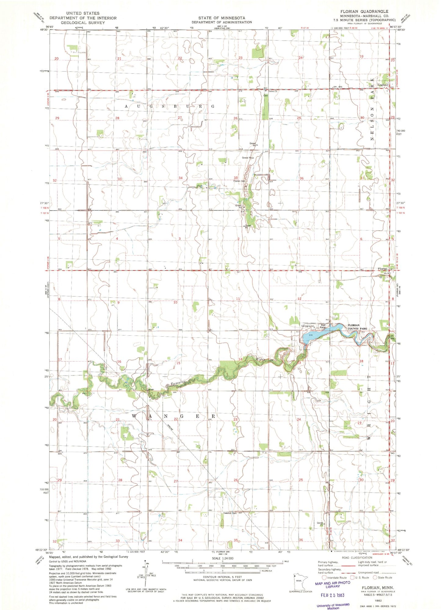
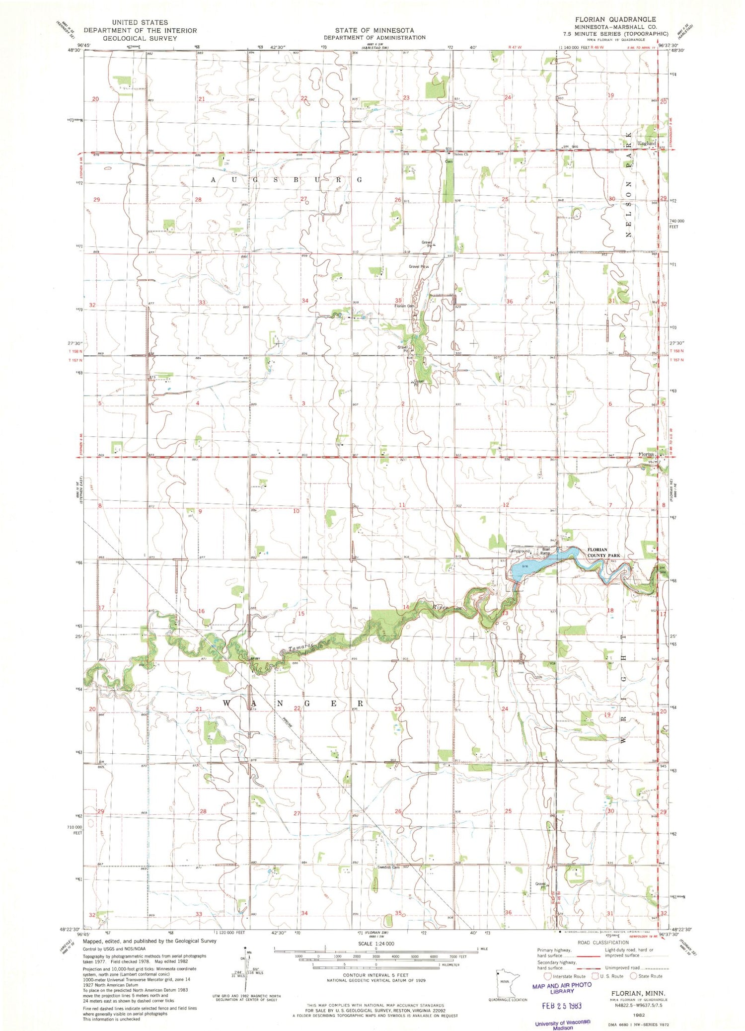
Classic USGS Florian Minnesota 7.5'x7.5' Topo Map
Couldn't load pickup availability
Historical USGS topographic quad map of Florian in the state of Minnesota. Map scale may vary for some years, but is generally around 1:24,000. Print size is approximately 24" x 27"
This quadrangle is in the following counties: Marshall.
The map contains contour lines, roads, rivers, towns, and lakes. Printed on high-quality waterproof paper with UV fade-resistant inks, and shipped rolled.
Contains the following named places: Apple Post Office, Assumption Cemetery, Bend Post Office, Englund, Englund Post Office, Florian, Florian Cemetery, Florian County Park, Florian Post Office, Marshall County Florian Park Campground, Salem Cemetery, Salem Church, School Number 50, School Number 55, Tamarac River R1 Structure Dam, Township of Wanger, Wanger Baptist Cemetery, Wanger Church