MyTopo
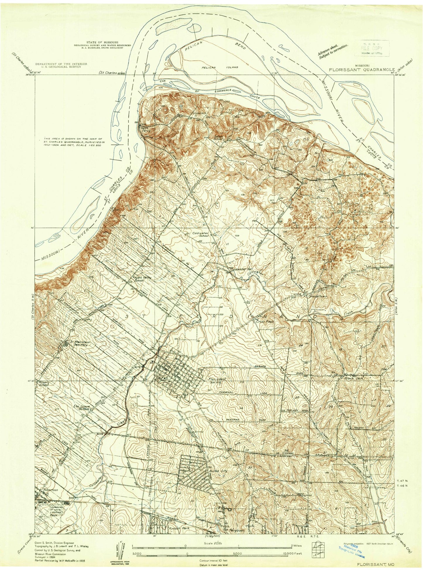
Classic USGS Florissant Missouri 7.5'x7.5' Topo Map
Couldn't load pickup availability
Historical USGS topographic quad map of Florissant in the state of Missouri. Map scale may vary for some years, but is generally around 1:24,000. Print size is approximately 24" x 27"
This quadrangle is in the following counties: St. Charles, St. Louis.
The map contains contour lines, roads, rivers, towns, and lakes. Printed on high-quality waterproof paper with UV fade-resistant inks, and shipped rolled.
Contains the following named places: Ackerman School, Bangert Park, Barrington Elementary School, Believers Chapel Bible Church, Berkeley, Berkeley Middle School, Bethany New Life Missionary Baptist Church, Black Jack, Black Jack Fire Protection District Station 1, Black Jack Fire Protection District Station 2, Black Jack Fire Protection District Station 3 Headquarters, Black Walnut, Boeing Fire Services, Calverton Park, Car of Commerce Chute, Carr Post Office, Cathedral at the Crossroads, Central City Shopping Center, Christian Hospital - Northwest Healthcare, Church of Christ of Kirkwood, Church of Christ of the Midwest, City of Black Jack, City of Calverton Park, City of Calverton Park Police Department, City of Dellwood, City of Florissant, Clocktower Shopping Center, Cold Water Cemetery, Cold Water Elementary School, Coldwater School, Common Field of Saint Ferdinand, Commons Lane Elementary School, Community Christ Fellowship Church, Cow Mire Island, Cross Keys, Cross Keys Middle School, Cross Keys Shopping Center, Crossing of Hall Ferry Shopping Center, Dellwood Shopping Center, Duchense Hills Shopping Center, Dwight McDaniels Ministerial Center, Ebenezer Seventh Day Adventist Church, Elm Grove School, Ferguson Church of the Nazarene, Ferguson Fire Department Station 2, Florissant, Florissant Meadows Shopping Center, Florissant Oaks Shopping Center, Florissant Police Department, Florissant Post Office, Florissant Valley Fire Protection District Station 1, Florissant Valley Fire Protection District Station 2, Florissant Valley Fire Protection District Station 3, Frostwood Shopping Center, Grace Baptist Church, Grandview Plaza Shopping Center, Halls Ferry Elementary School, Hamilton School, Harvest Church of Saint Louis, Hazelwood, Hazelwood Central High School, Hazelwood Fire Department Station 1, Hazelwood Fire Department Station 2 Headquarters, Hazelwood Police Department, Hazelwood Post Office, Hazelwood Showcase Plaza Shopping Center, Houdershell Park, Hyatt Valley School, Jamestown Elementary School, Jana Elementary School, Jeske Park, Jury Elementary School, KCFV-FM (Ferguson), Keeven Elementary School, Kiel Park, Kock Park, La Charbonniere, Lawson Elementary School, Lee Hamilton Elementary School, Liberty Full Gospel Church, Lighthouse Apostolic Ministries of God Church, Lusher Elementary School, Marais des Liards, McCluer North High School, McCurdy Elementary School, McNair Elementary School, Mill Creek, Musicks Ferry, Naval Air Station Saint Louis, North Hills Shopping Center, North Hills United Methodist Church, Northview School, Oak Hill Baptist Church, Old Jamestown Census Designated Place, Our Lady of Fatima School, Paddock Hills Shopping Center, Parker Road Elementary School, Plaza Madrid Shopping Center, Possum Hollow, Robinwood Elementary School, Rosary School, Russell Elementary School, Sacred Heart Cemetery, Saint Ferdinand Cemetery, Saint Ferdinand Commons, Saint Josephs Convent of Mercy, Saint Louis Community College of Florissant Valley, Saint Stanislaus Seminary, Salem Evangelical Lutheran Cemetery, Salem School, San Francisco Temple, Shoveltown, Sinks, Strollway Shopping Center, Township of Ferguson, Township of Florissant, Township of Lewis and Clark, Villa Del Cresta Shopping Center, Village Square, Walker Elementary School, Walnut Grove Elementary School, Wedgwood Elementary School, ZIP Codes: 63031, 63033, 63034


