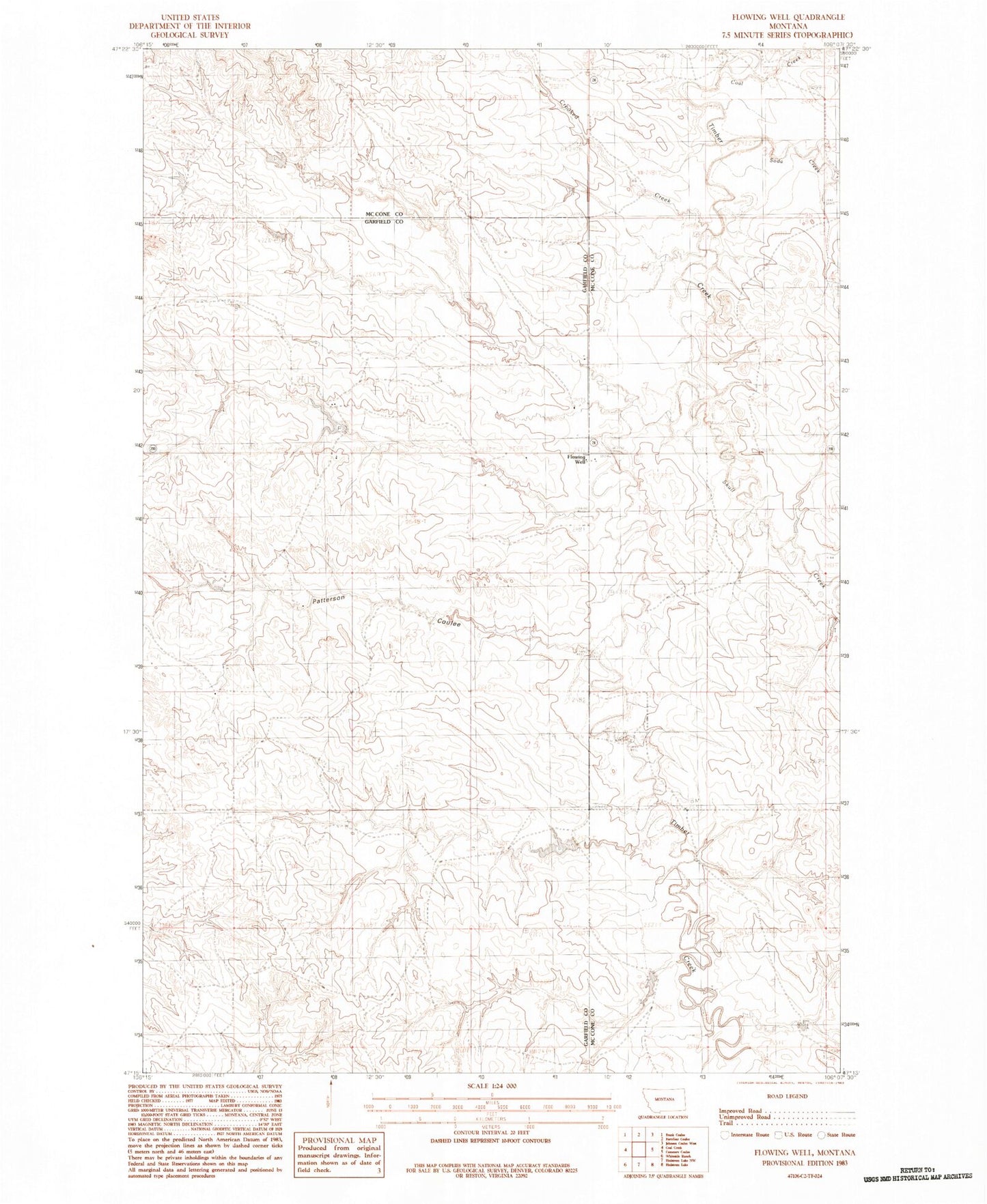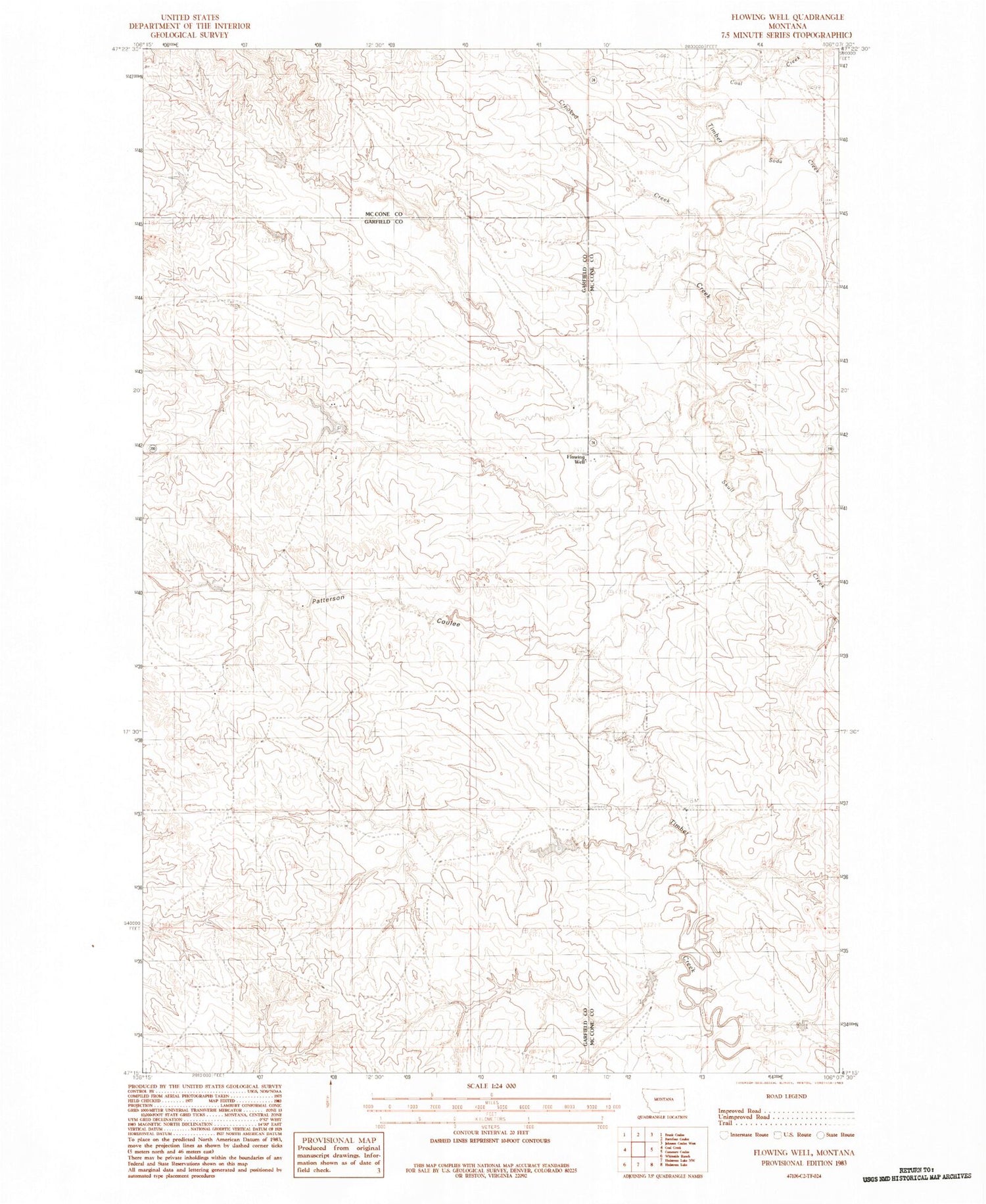
MyTopo
Classic USGS Flowing Well Montana 7.5'x7.5' Topo Map
Couldn't load pickup availability
Historical USGS topographic quad map of Flowing Well in the state of Montana. Map scale may vary for some years, but is generally around 1:24,000. Print size is approximately 24" x 27"
This quadrangle is in the following counties: Garfield, McCone.
The map contains contour lines, roads, rivers, towns, and lakes. Printed on high-quality waterproof paper with UV fade-resistant inks, and shipped rolled.
Contains the following named places: 17N44E08AAAD01 Well, 18N43E02CC__01 Well, 18N43E04DB__01 Well, 18N43E10ACD_01 Well, 18N43E10DABD01 Well, 18N43E12AAAB01 Well, 18N43E13AAAA01 Well, 18N43E13BAAA01 Well, 18N43E13DD__01 Well, 18N43E14AA__01 Well, 18N43E15CD__01 Well, 18N43E24AAAB01 Well, 18N43E28AABA01 Well, 18N43E28CD__01 Well, 18N44E08BAAB01 Well, 18N44E16CCCB01 Well, 18N44E19BDAD01 Well, 18N44E20BABC01 Well, 18N44E30BDCA01 Well, 18N44E30CDDC01 Well, 19N43E25DAAC01 Well, 19N44E29CBBD01 Well, 19N44E31CADB01 Well, 19N44E35DDDD01 Well, Coal Creek, Crooked Creek, Dinosaurs Historical Marker, Flowing Well, Flowing Wells Rest Area, Frady Number 1 Dam, Frady Number 3 Dam, Fradys Reservoir Dam, Gerold Gibbs Dam, Paris, Paris Post Office, Patterson Coulee, Skull Creek, Soda Creek