MyTopo
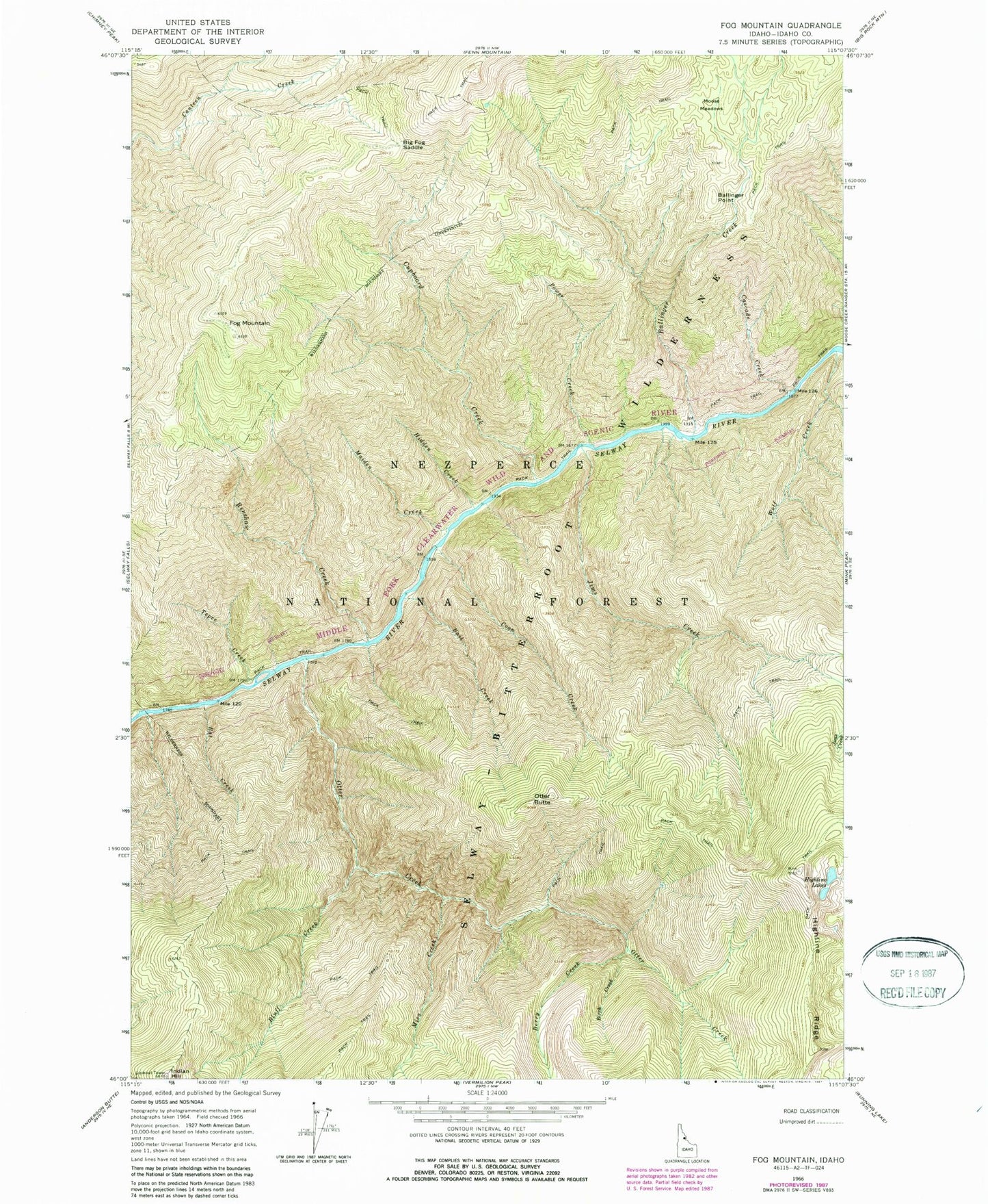
Classic USGS Fog Mountain Idaho 7.5'x7.5' Topo Map
Couldn't load pickup availability
Historical USGS topographic quad map of Fog Mountain in the state of Idaho. Typical map scale is 1:24,000, but may vary for certain years, if available. Print size: 24" x 27"
This quadrangle is in the following counties: Idaho.
The map contains contour lines, roads, rivers, towns, and lakes. Printed on high-quality waterproof paper with UV fade-resistant inks, and shipped rolled.
Contains the following named places: Bait Creek, Ballinger Point, Bat Creek, Berry Creek, Big Fog Saddle, Birch Creek, Bluff Creek, Cascade Creek, Coon Creek, Fog Mountain, Hidden Creek, Highline Lakes, Jims Creek, Mica Creek, Moose Meadows, Otter Butte, Otter Creek, Power Creek, Tepee Creek, Wolf Creek, Ballinger Creek, Cupboard Creek, Maiden Creek, Renshaw Creek