MyTopo
Classic USGS Foley Pond Maine 7.5'x7.5' Topo Map
Regular price
$16.95
Regular price
Sale price
$16.95
Unit price
per
Couldn't load pickup availability
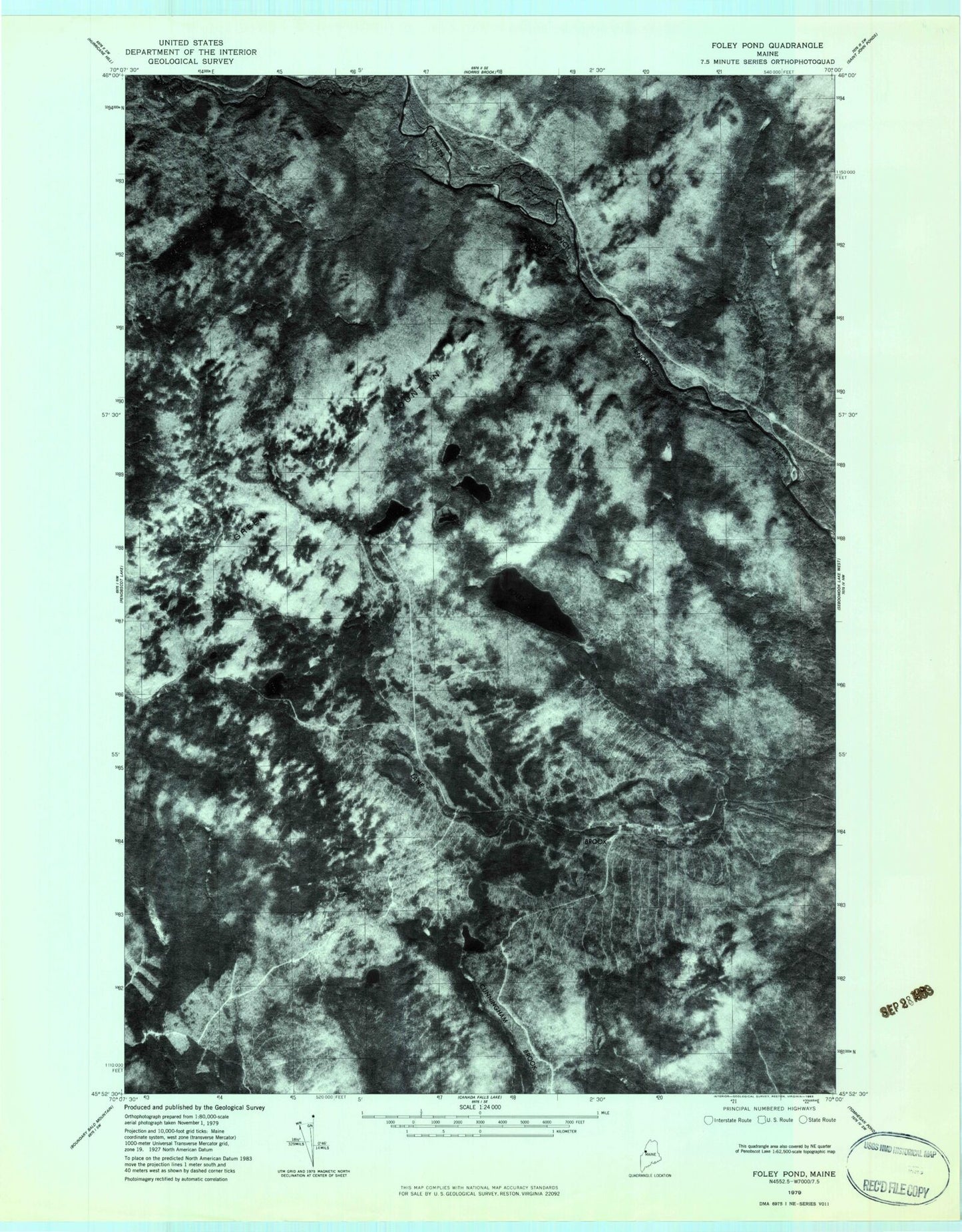
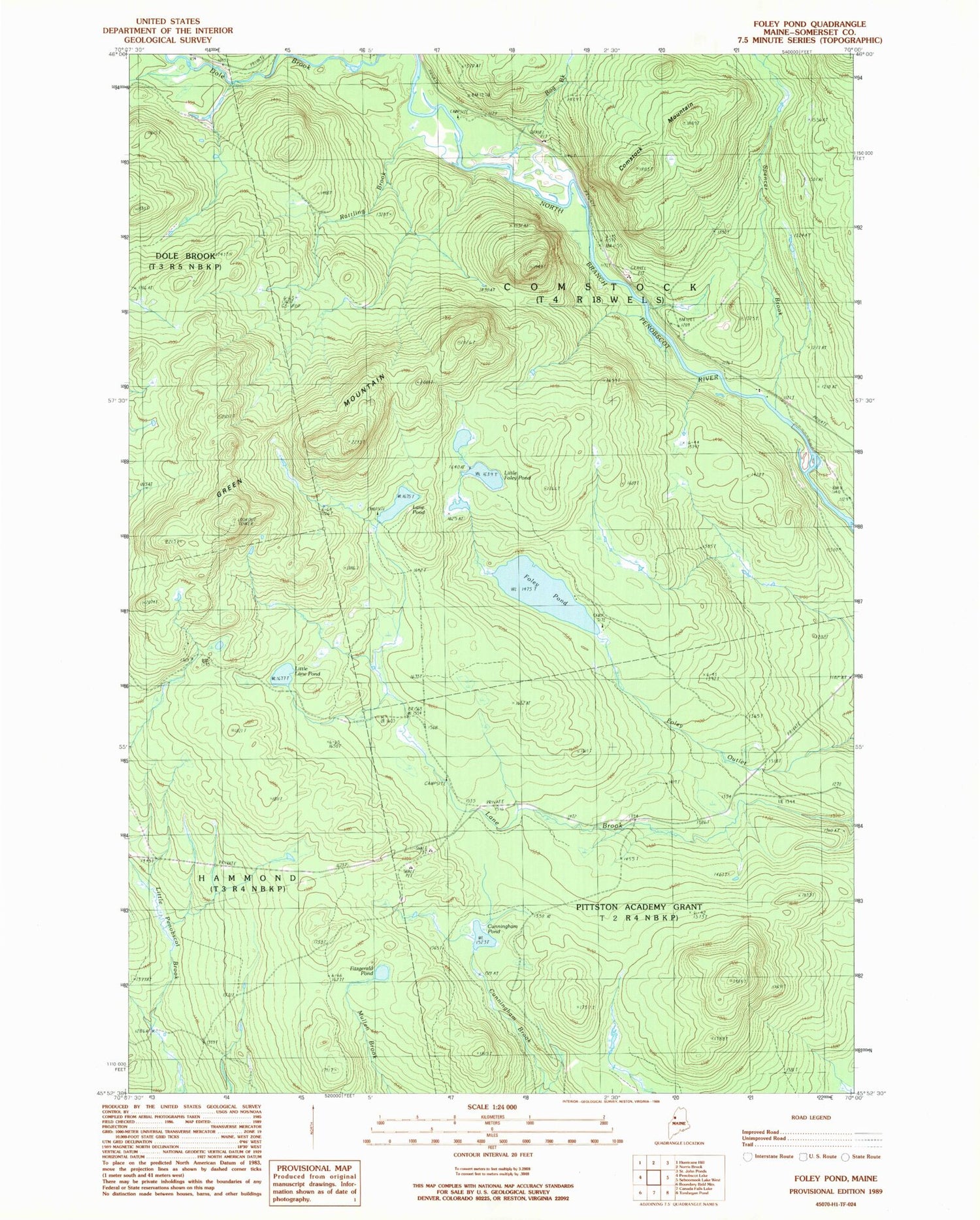
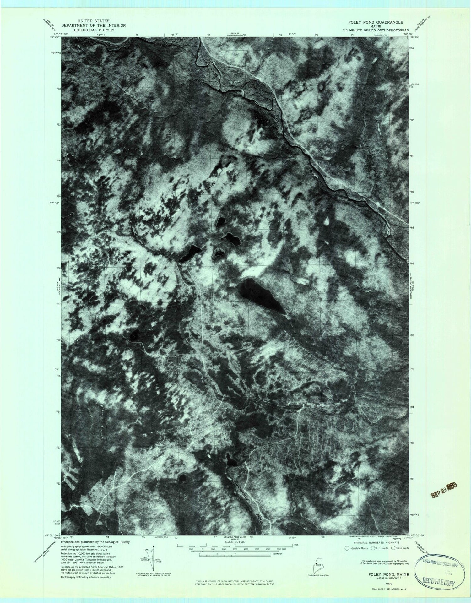
Historical USGS topographic quad map of Foley Pond in the state of Maine. Map scale may vary for some years, but is generally around 1:24,000. Print size is approximately 24" x 27"
This quadrangle is in the following counties: Somerset.
The map contains contour lines, roads, rivers, towns, and lakes. Printed on high-quality waterproof paper with UV fade-resistant inks, and shipped rolled.
Contains the following named places: Bog Brook, Comstock Mountain, Comstock Township, Cunningham Pond, Fitzgerald Pond, Foley Pond, Green Mountain, Lane Pond, Little Foley Pond, Little Lane Pond, Pittston Academy Grant, Rattling Brook, Spencer Brook