MyTopo
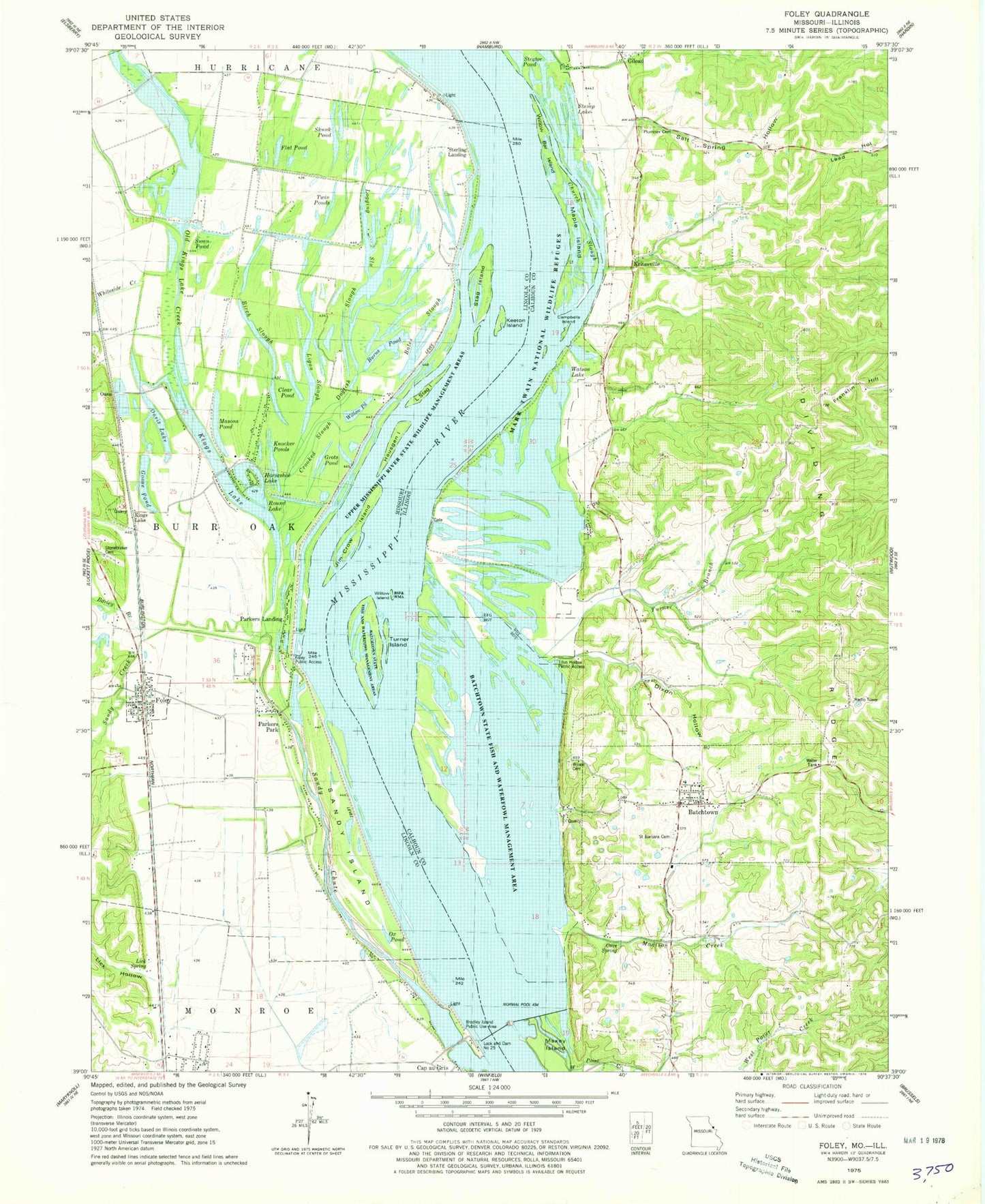
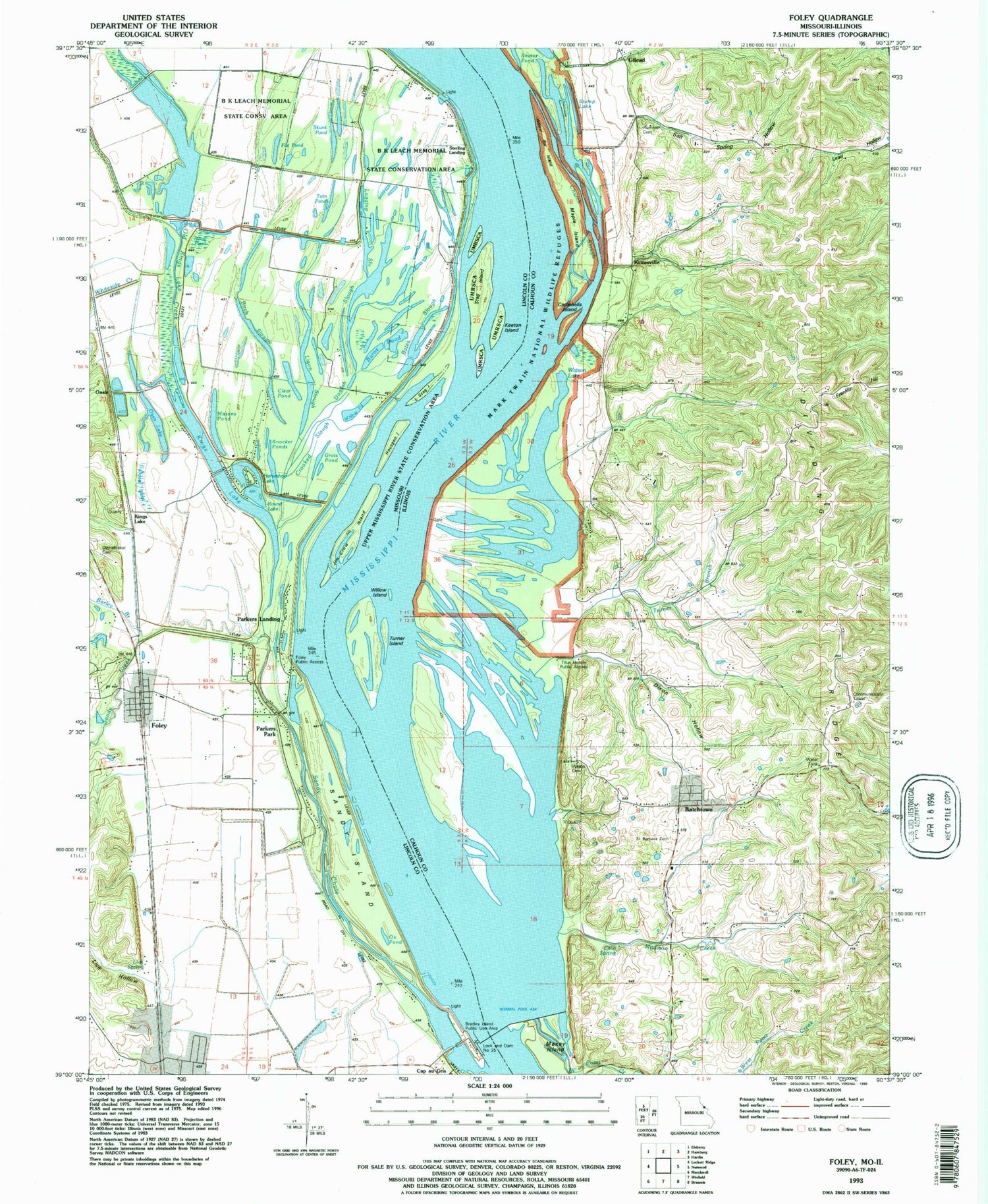
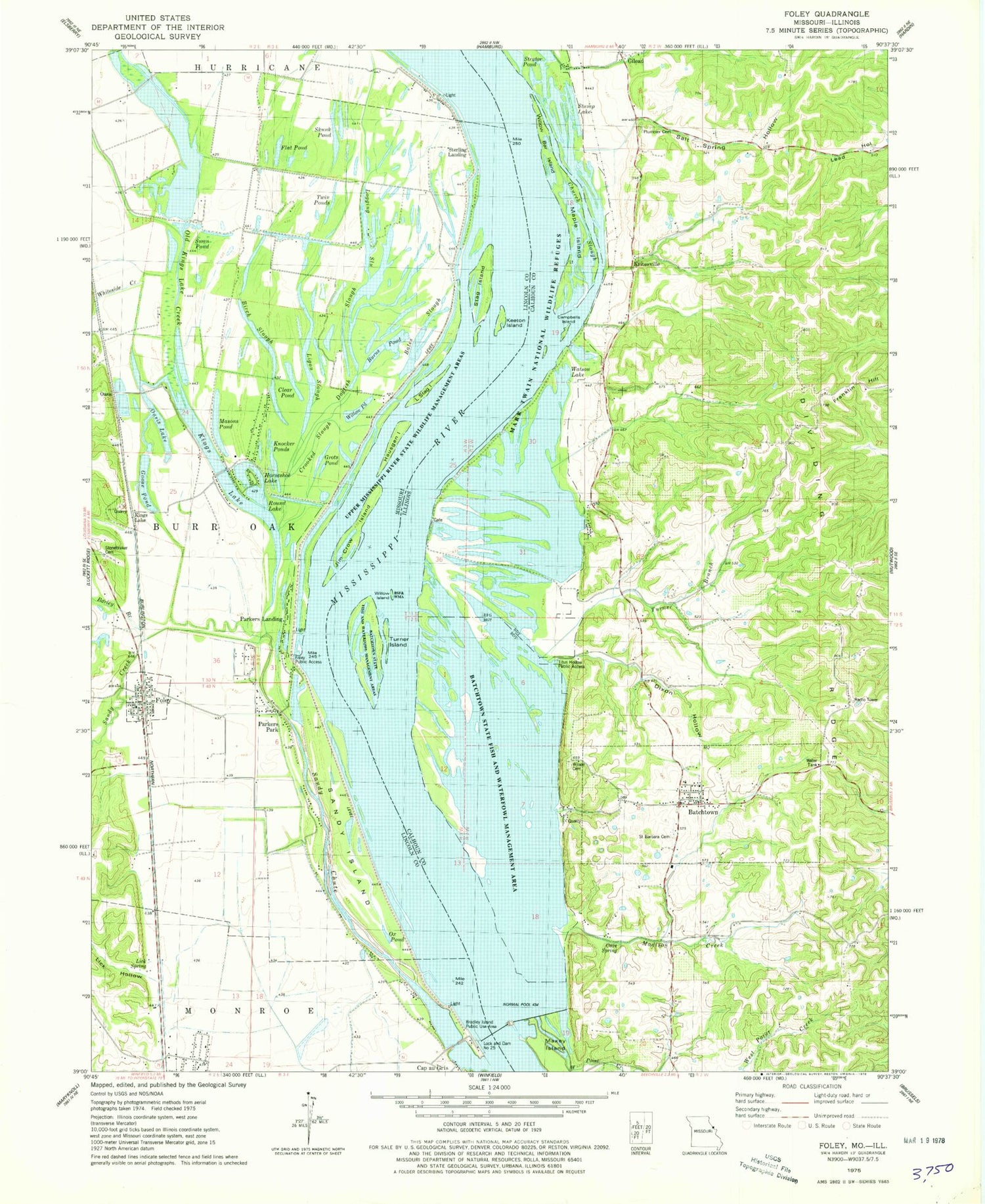
Classic USGS Foley Missouri 7.5'x7.5' Topo Map
Couldn't load pickup availability
Historical USGS topographic quad map of Foley in the states of Missouri, Illinois. Map scale may vary for some years, but is generally around 1:24,000. Print size is approximately 24" x 27"
This quadrangle is in the following counties: Calhoun, Lincoln.
The map contains contour lines, roads, rivers, towns, and lakes. Printed on high-quality waterproof paper with UV fade-resistant inks, and shipped rolled.
Contains the following named places: Bailey Lake, Barley Branch, Batchtown, Batchtown Post Office, Batchtown State Fish and Waterfowl Management Area, Bates Slough, Bell Pond, Birch Slough, Black Lake, Bradley Island Public Use Area, Briar Ridge School, Burns Pond, Campbells Island, Cap au Gris School, Cave Spring, Church Slough, City of Foley, Clear Pond, Crooked Slough, Dixon Hollow, Dixon Pond, Dogfish Slough, Flat Pond, Foley, Foley Post Office, Foley Public Access, Foley School, Garden Pond, George Bain Slough, Gilead, Gilead Landing, Goose Pond, Grots Pond, Hausgen Island, Hogville Landing, Horseshoe Lake, Jakes Pond, Jim Crow Island, Keeton Island, Kings Lake, Knocker Ponds, Kritesville, Lick Hollow, Lick Spring, Ligon Slough, Little Round Pond, Little Stag Island, Lock and Dam 25, Logging Slough, Long Lake, Lost Creek, Lower Flat Pond, Lower Gilead School, Madison Creek, Maple Island, Masons Pond, Maxey Island, Metz Lake, Mount Victory School, Oasis, Oasis Lake, Old Kings Lake Creek, Ox Pond, Parkers Landing, Parkers Park, Plummer Cemetery, Prairie Lake, Richwood Election Precinct, Richwood Volunteer Fire Protection District, Round Lake, Round Pond, Saint Barbara Cemetery, Salt Spring, Salt Spring Hollow, Sand Bay, Sandy Chute, Sandy Creek, Sandy Creek Ditch, Sandy Island, Sandy Slough Dike, Sarah Ann Island, Skunk Pond, Stag Island, Sterling Landing, Stonebraker Cemetery, Stump Lake, Swan Pond, Titus Hollow Public Access Area, Turner Branch, Turner Island, Turner Landing, Twin Ponds, Upper Flat Pond, Village of Batchtown, Watson Lake, West Point Creek, Whiteside Creek, Willow Bar Landing, Willow Island, Willow Pond, Wilson Cemetery, Wilson Landing, Winfield - Foley Fire Protection District Station 2, ZIP Codes: 62006, 62047