MyTopo
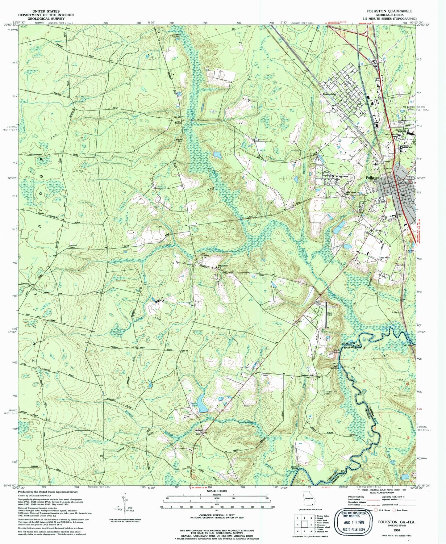
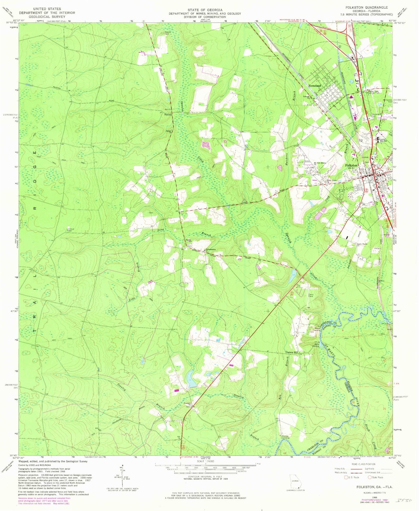
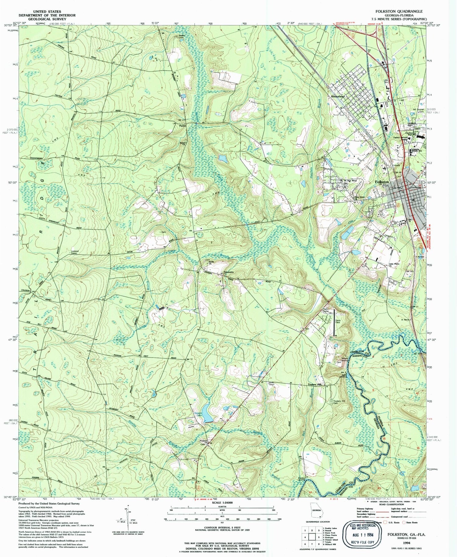
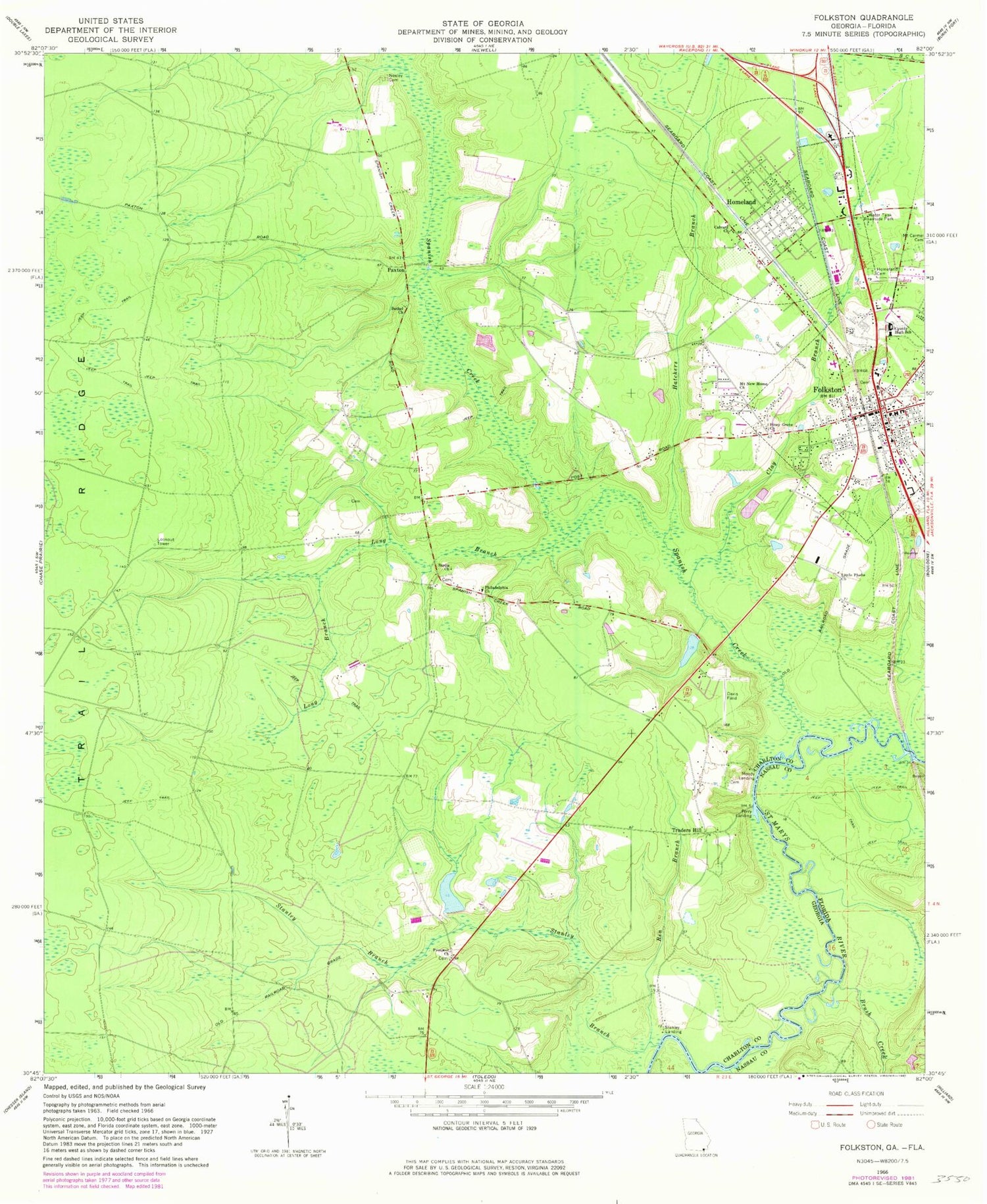
Classic USGS Folkston Georgia 7.5'x7.5' Topo Map
Couldn't load pickup availability
Historical USGS topographic quad map of Folkston in the states of Georgia, Florida. Map scale may vary for some years, but is generally around 1:24,000. Print size is approximately 24" x 27"
This quadrangle is in the following counties: Charlton, Nassau.
The map contains contour lines, roads, rivers, towns, and lakes. Printed on high-quality waterproof paper with UV fade-resistant inks, and shipped rolled.
Contains the following named places: Ben Branch, Bethel Cemetery, Bethel Church, Bethlehem Holiness Church, Brush Creek, Calvary Church, Charlton County Courthouse, Charlton County Fire Department Station 1, Charlton County Health Center, Charlton County High School, Charlton County Jail, Charlton County Lake, Charlton County Lake Dam, Charlton County Sheriff's Office, Charlton Memorial Hospital, Church of Christ, Church of God, City of Folkston, City of Homeland, Clay Branch, Davis Field, Ferry Landing, First Assembly of God Church, First Baptist Church, Folkston, Folkston City Hall, Folkston Elementary School, Folkston Golf Club, Folkston Methodist Church, Folkston Middle School, Folkston Police Department, Folkston Post Office, Folkston Water Pollution Control Plant, Gowen Lake, Gowen Lake Dam, Hatchers Branch, Homeland, Homeland Cemetery, Homeland Park, Homeland Pentecostal Church, Homeland Police Department, Jerusalem Holiness Church, Kingdom Hall Church, Little Dunn Creek, Little Phebe Church, Little Phoebe Cemetery, Long Branch, Moody Landing, Mount Carmel Baptist Church, Mount Carmel Cemetery, Mount New Home Church, Neeley Cemetery, Oakdale, Paxton, Philadelphia Church, Pinckney United Methodist Church, Piney Grove Church, Prospect Cemetery, Prospect Church, Sardis Cemetery, Sardis Church, Sardis School, Spanish Creek, Stanley Branch, Stanley Landing, Traders Hill, Traders Hill Cemetery, Traders Hill Church, Traders Hill Methodist Church, Traders Hill School, WOKF-FM (Folkston)


