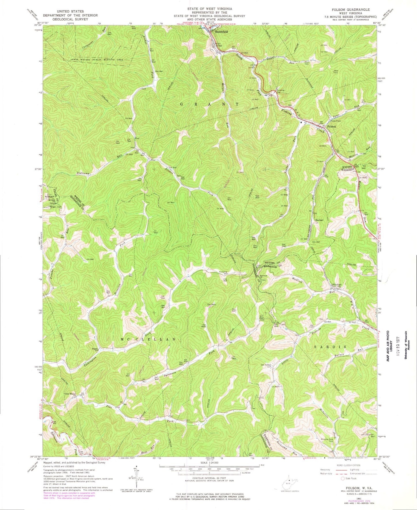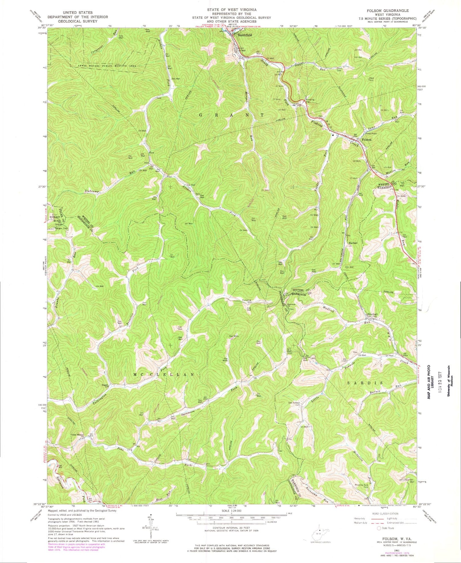
MyTopo
Classic USGS Folsom West Virginia 7.5'x7.5' Topo Map
Couldn't load pickup availability
Historical USGS topographic quad map of Folsom in the state of West Virginia. Typical map scale is 1:24,000, but may vary for certain years, if available. Print size: 24" x 27"
This quadrangle is in the following counties: Doddridge, Harrison, Tyler, Wetzel.
The map contains contour lines, roads, rivers, towns, and lakes. Printed on high-quality waterproof paper with UV fade-resistant inks, and shipped rolled.
Contains the following named places: Beverlin Fork, Fairview Baptist Church, Folsom, Manion Run, McIntire Fork Cemetery, Morgan Cemetery, Morgan Run, Mount Zion Church, Mudlick Run, Pisgah Church, Price Run, Rinehart, Sams Run, Slabcamp Run, Stout Run Cemetery, Stout Run, Sycamore Fork, Trader Fork, Union Mission Church, Hartzel, Smithfield, Lower Beverlin Fork School (historical), Lower Sycamore School (historical), Pike Fork Church (historical), Pike Fork School (historical), Talkington Fork School (historical), Upper Beverlin Fork School (historical), Upper Franks Run School (historical), Upper Sycamore School (historical), Arches School (historical), Folsom Post Office, Folsom School (historical), Smithfield Post Office, Tunnel School (historical), Dye Cemetery, Garrett School (historical), McIntire Fork School (historical), Rinehart Evangelical United Brethren Church, Town of Smithfield, Smithfield Volunteer Fire Department, Folsom Volunteer Fire Department