MyTopo
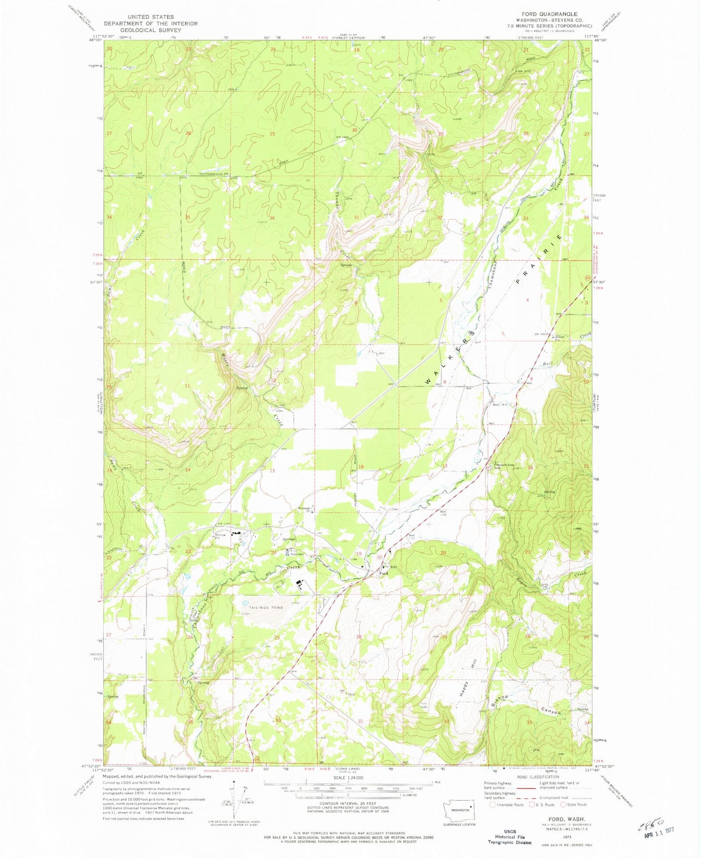
Classic USGS Ford Washington 7.5'x7.5' Topo Map
Couldn't load pickup availability
Historical USGS topographic quad map of Ford in the state of Washington. Map scale may vary for some years, but is generally around 1:24,000. Print size is approximately 24" x 27"
This quadrangle is in the following counties: Stevens.
The map contains contour lines, roads, rivers, towns, and lakes. Printed on high-quality waterproof paper with UV fade-resistant inks, and shipped rolled.
Contains the following named places: Bishop Canyon, Dawn Mine Tailing Pond Area Three Dam, Dawn Mine Tailings Pond, Ford, Ford Post Office, Happy Hill, Hubert Cemetery, Mission Creek, Moses Creek, Pleasant View Cemetery, Rail Creek, Saint Joseph Church, Stevens County Fire District 1 Station 6 Ford, Thomas Creek, Tshimakain Creek, Walkers Prairie, ZIP Code: 99013