MyTopo
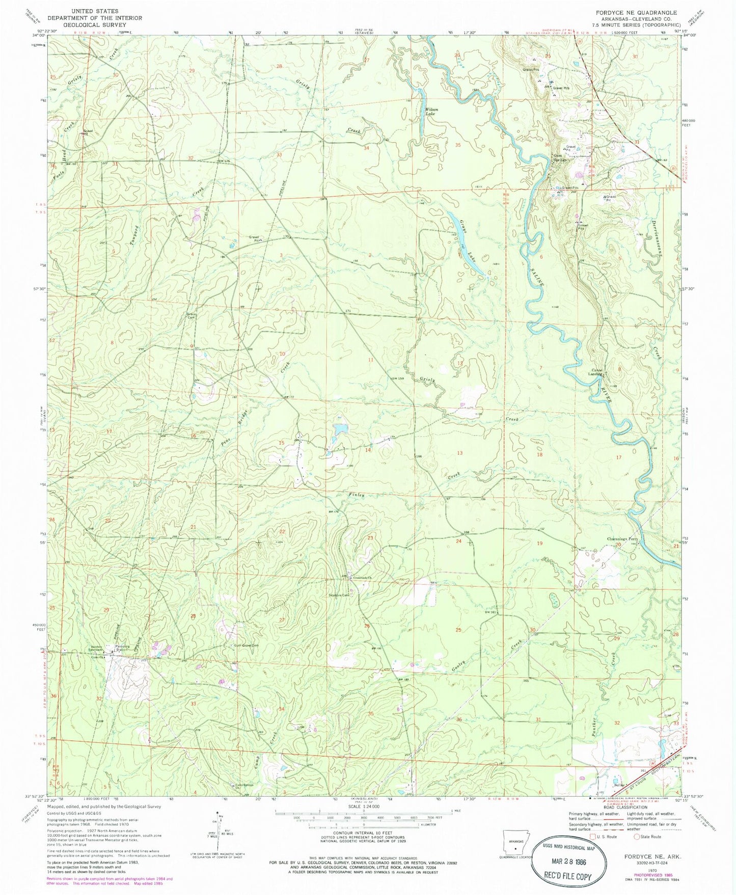
Classic USGS Fordyce NE Arkansas 7.5'x7.5' Topo Map
Couldn't load pickup availability
Historical USGS topographic quad map of Fordyce NE in the state of Arkansas. Map scale may vary for some years, but is generally around 1:24,000. Print size is approximately 24" x 27"
This quadrangle is in the following counties: Cleveland.
The map contains contour lines, roads, rivers, towns, and lakes. Printed on high-quality waterproof paper with UV fade-resistant inks, and shipped rolled.
Contains the following named places: Camp Springs Cemetery, Camp Springs Church, Canoe Landing, Charnnings Ferry, Clements Pond, Clements Pond Dam, Como Church, Crossroads Church, Derrieusseaux Creek, Finley Creek, Fools Head Creek, Gooley Creek, Grace Cemetery, Grays Lake, Grisly Creek, Gum Grove Cemetery, Gum Springs, Pine Bridge Creek, Rainbow Tabernacle, Seymore Cemetery, Tanyard Creek, Township of Kingsland, Wilson Lake, ZIP Code: 71652