MyTopo
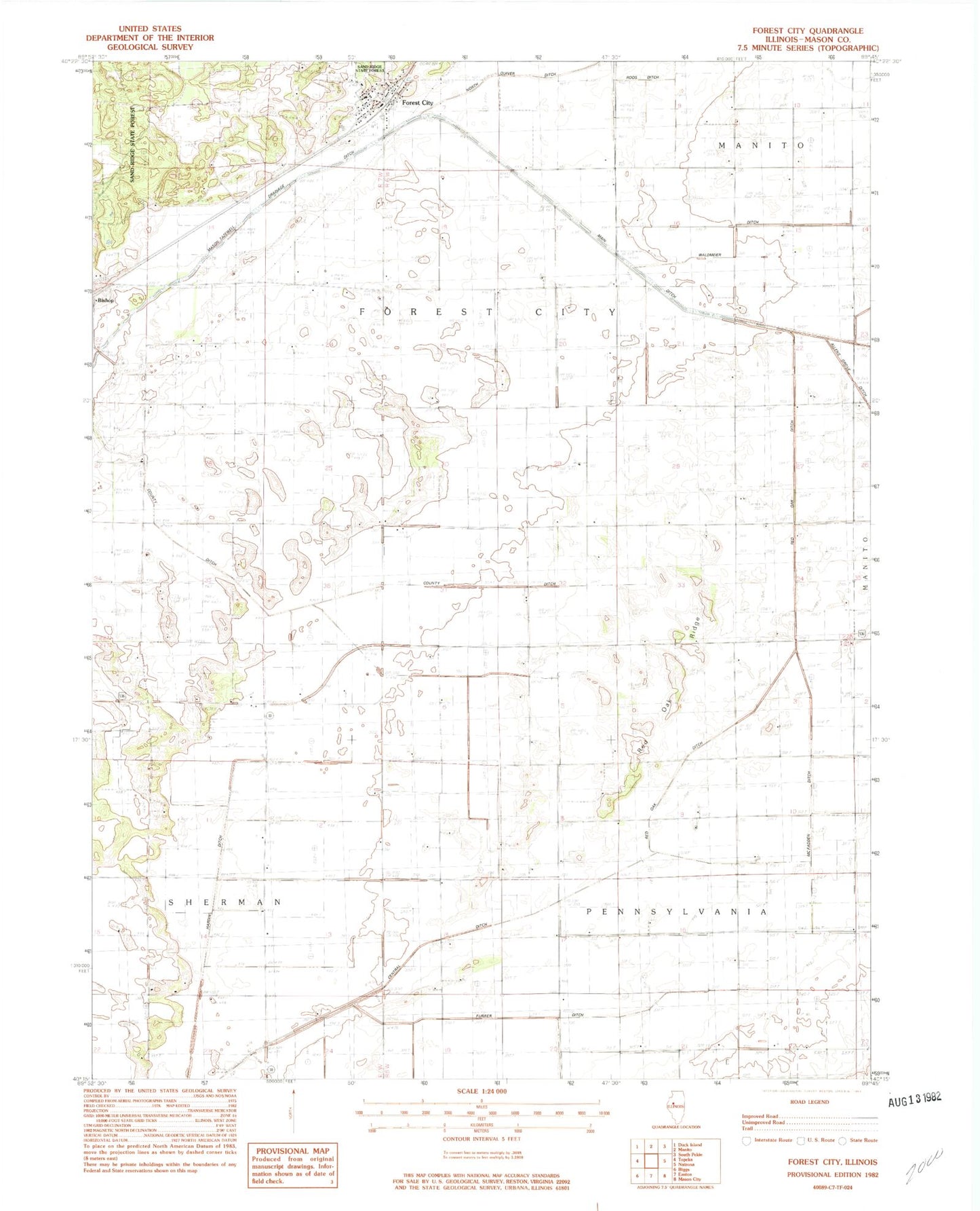
Classic USGS Forest City Illinois 7.5'x7.5' Topo Map
Couldn't load pickup availability
Historical USGS topographic quad map of Forest City in the state of Illinois. Map scale may vary for some years, but is generally around 1:24,000. Print size is approximately 24" x 27"
This quadrangle is in the following counties: Mason.
The map contains contour lines, roads, rivers, towns, and lakes. Printed on high-quality waterproof paper with UV fade-resistant inks, and shipped rolled.
Contains the following named places: Beck School, Bishop, Brown School, Central Ditch, Forest City, Forest City Post Office, Forman Fire Protection District Station 2 Forest City, Furrer Ditch, Golden Valley School, Hardin Ditch, Kreilings Airport, Lake Shore School, McFadden Ditch, Pennsylvania Lane School, Pleasant Hill Cemetery, Red Oak Ditch, Red Oak Ridge, Red Oak School, Roos Ditch, Spaits School, Township of Forest City, Township of Pennsylvania, Union School, Union School Number 1, Village of Forest City, Waldmeier Ditch, Wessling School, White and Brown Ditch, White and Rowley Ditch, White School, ZIP Code: 61532