MyTopo
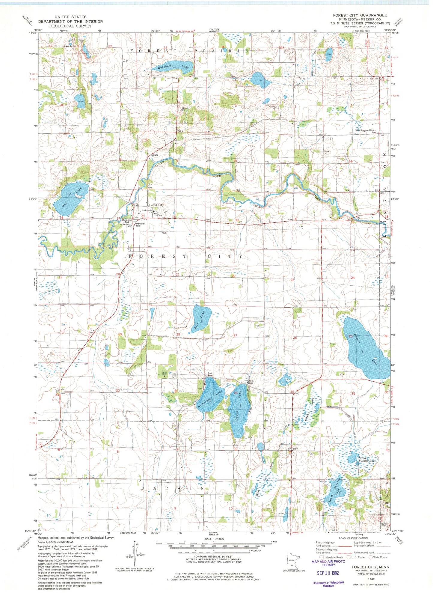
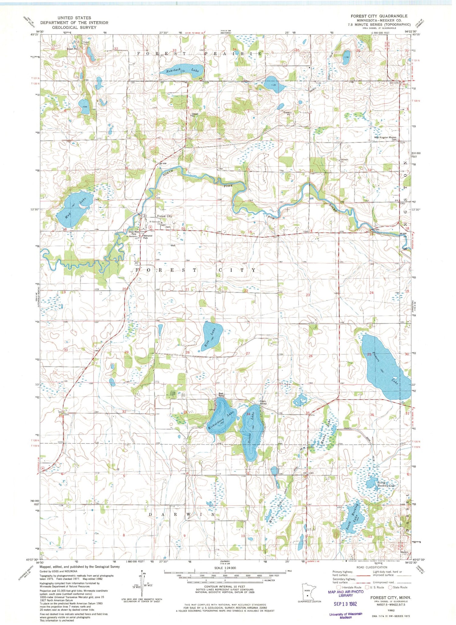
Classic USGS Forest City Minnesota 7.5'x7.5' Topo Map
Couldn't load pickup availability
Historical USGS topographic quad map of Forest City in the state of Minnesota. Map scale may vary for some years, but is generally around 1:24,000. Print size is approximately 24" x 27"
This quadrangle is in the following counties: Meeker.
The map contains contour lines, roads, rivers, towns, and lakes. Printed on high-quality waterproof paper with UV fade-resistant inks, and shipped rolled.
Contains the following named places: County Ditch Number Fortytwo, County Ditch Number Thirtysix, Dunns Lake, Farley School, Forest City, Forest City Cemetery, Forest City Post Office, Hanon Lake, Happy Corner School, Mar Doll Farm, Memorial Park, Mud Lake, North Buckley Lake, Ostmark Church, Ostmark Lutheran Church Cemetery, Peifer School, Pleasant View School, Powers Lake, Rice Lake, Richardson Lake, Rohrbeck Lake, Saint Gertrude Cemetery, Saint Gertrude Church, Saint Matthews Church, Shaw Memorial Park, Silver Leaf Farms, South Buckley Lake, T and T Farms, Taylor School, Township of Forest City, Wagner Dairy, West Kingston Cemetery


