MyTopo
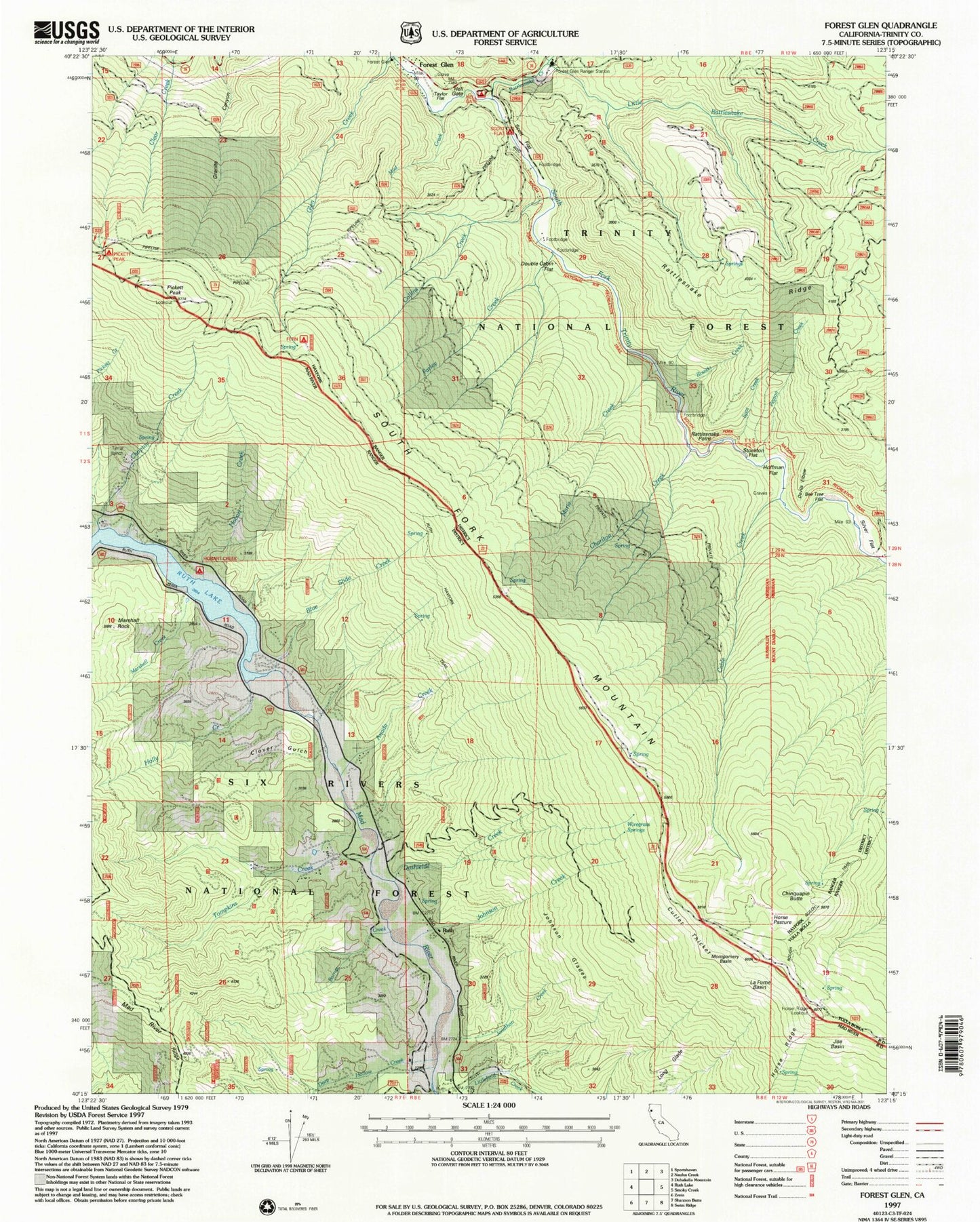
Classic USGS Forest Glen California 7.5'x7.5' Topo Map
Couldn't load pickup availability
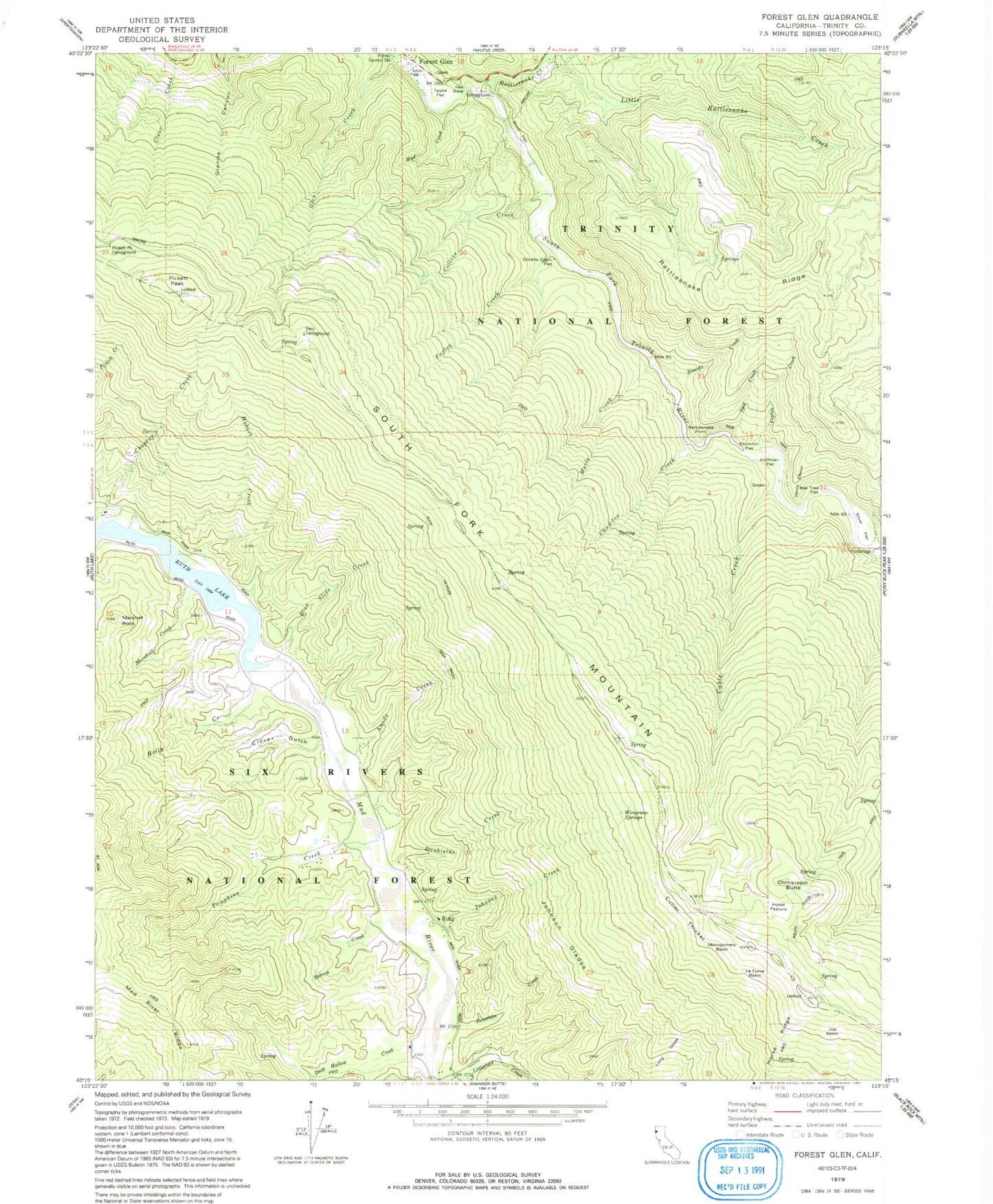
Historical USGS topographic quad map of Forest Glen in the state of California. Map scale may vary for some years, but is generally around 1:24,000. Print size is approximately 24" x 27"
This quadrangle is in the following counties: Trinity.
The map contains contour lines, roads, rivers, towns, and lakes. Printed on high-quality waterproof paper with UV fade-resistant inks, and shipped rolled.
Contains the following named places: Anada Creek, Barnes Creek, Bee Tree Flat, Blue Slide Creek, Cable Creek, Charlton Creek, Chinquapin Butte, Choptoy Creek, Clover Gulch, Collins Creek, Cutler Thicker, Dashields Creek, Deep Hollow Creek, Devils Elbow, Double Cabin Flat, Farley Creek, Fern Campground, Flume Gulch, Forest Glen, Forest Glen Post Office, Glen Creek, Hall Gate, Hell Gate Recreation Site, Hobart Creek, Hobart Creek Recreation Site, Hoffman Flat, Holly Creek, Horse Pasture, Horse Ridge, Horse Ridge Lookout, Joe Basin, Johnson Creek, Johnson Glades, Jonathan Creek, La Flume Basin, Little Rattlesnake Creek, Long Glade, Marie Creek, Marshall Creek, Marshall Rock, Montgomery Basin, Mud Creek, Norgaar Family Cemetery, Peyton Creek, Pickett Peak, Pickett Peak Campground, Pickett peak Lookout, Rattlesnake Creek, Rattlesnake Point, Rough Gulch Trail, Rowski Creek, Ruth, Ruth Census Designated Place, Ruth Hayfork Trail, Scott Flat, Silver Creek Ranch Airport, Silver Flat, South Fork Mountain, Southern Trinity Area Rescue Substation, Spot Creek, Stockton Flat, Taylor Flat, Terral Ranch, Tompkins Creek, Wiregrass Springs