MyTopo
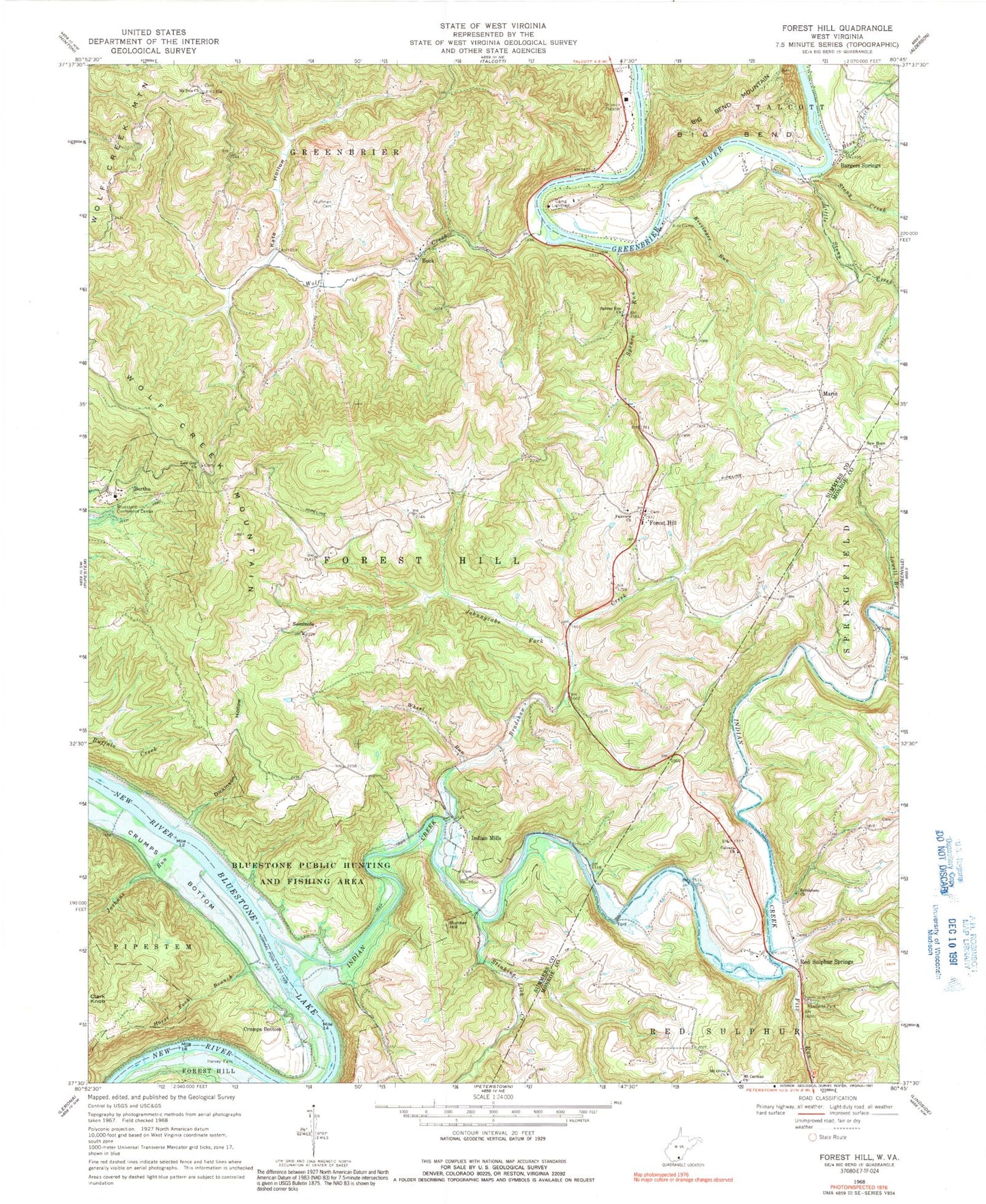
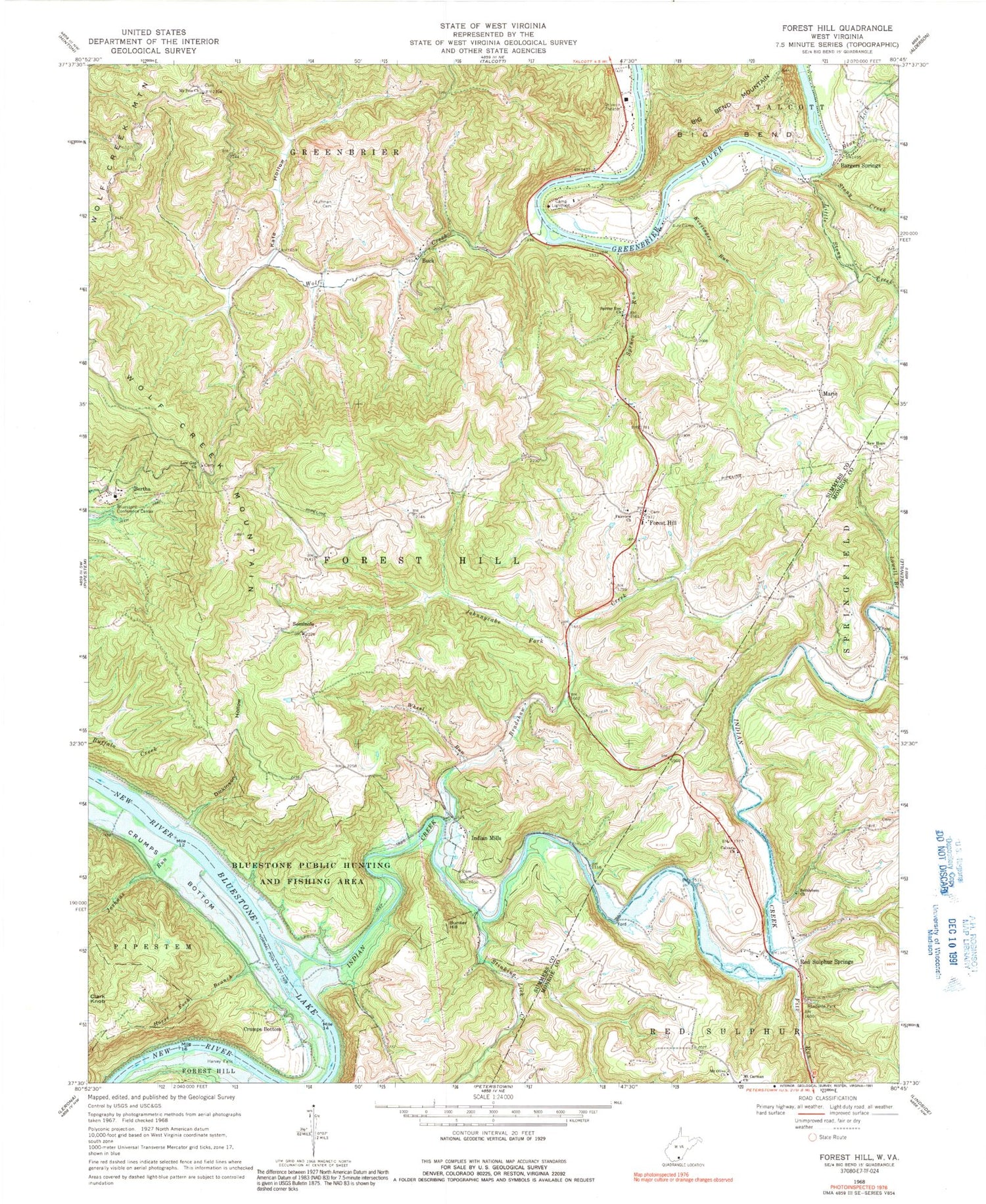
Classic USGS Forest Hill West Virginia 7.5'x7.5' Topo Map
Couldn't load pickup availability
Historical USGS topographic quad map of Forest Hill in the state of West Virginia. Map scale may vary for some years, but is generally around 1:24,000. Print size is approximately 24" x 27"
This quadrangle is in the following counties: Monroe, Summers.
The map contains contour lines, roads, rivers, towns, and lakes. Printed on high-quality waterproof paper with UV fade-resistant inks, and shipped rolled.
Contains the following named places: Bargers Spring, Bargers Springs, Bennett School, Bertha, Bethlehem Church, Blue Lick, Bluestone Conference Center, Bradshaw Creek, Bradshaw School, Buck, Bunker Hill, Calvary Church, Camp Lightfoot, Camp Summers, Crumps Bottom, Dickinson Hollow, Fairview Baptist Church Cemetery, Fairview Church, Fairview School, Fitz Run, Forest Hill, Forest Hill Methodist Church, Forest Hill Post Office, Forest Hill Volunteer Fire Department, Foster School, Glenwood School, Greenbrier River District, Greenbrier School, Harmon School, Harvey Falls, Horse Fork Branch, Huffman Cemetery, Indian Creek, Indian Mills, Indian Mills Missionary Baptist Church, Indian Mills Post Office, Johnnycake Fork, Joshuas Run, Junta, Kate Hollow, Kissinger Run, Lick School, Little Stony Creek, Low Gap Church, Low Gap School, Lowell Branch, Marie, Mount Carman Church, Mount Olive Church, Mount Zion Church, Neff School, New Hope Church, New Hope Church Cemetery, Pleasant View School, Red Sulphur Spring, Red Sulphur Springs, Red Sulphur Springs Methodist Church, Roles Chapel Baptist Church, Seminole, Spruce Run, Spruce Run Church, Spruce Run School, Stinking Lick Creek, Stony Creek, Stony Creek Gorge, Turner School, Wheel Run, Wheel Run School, Windydale School, Wolf Creek, Wolf Creek Mountain, ZIP Code: 24935


