MyTopo
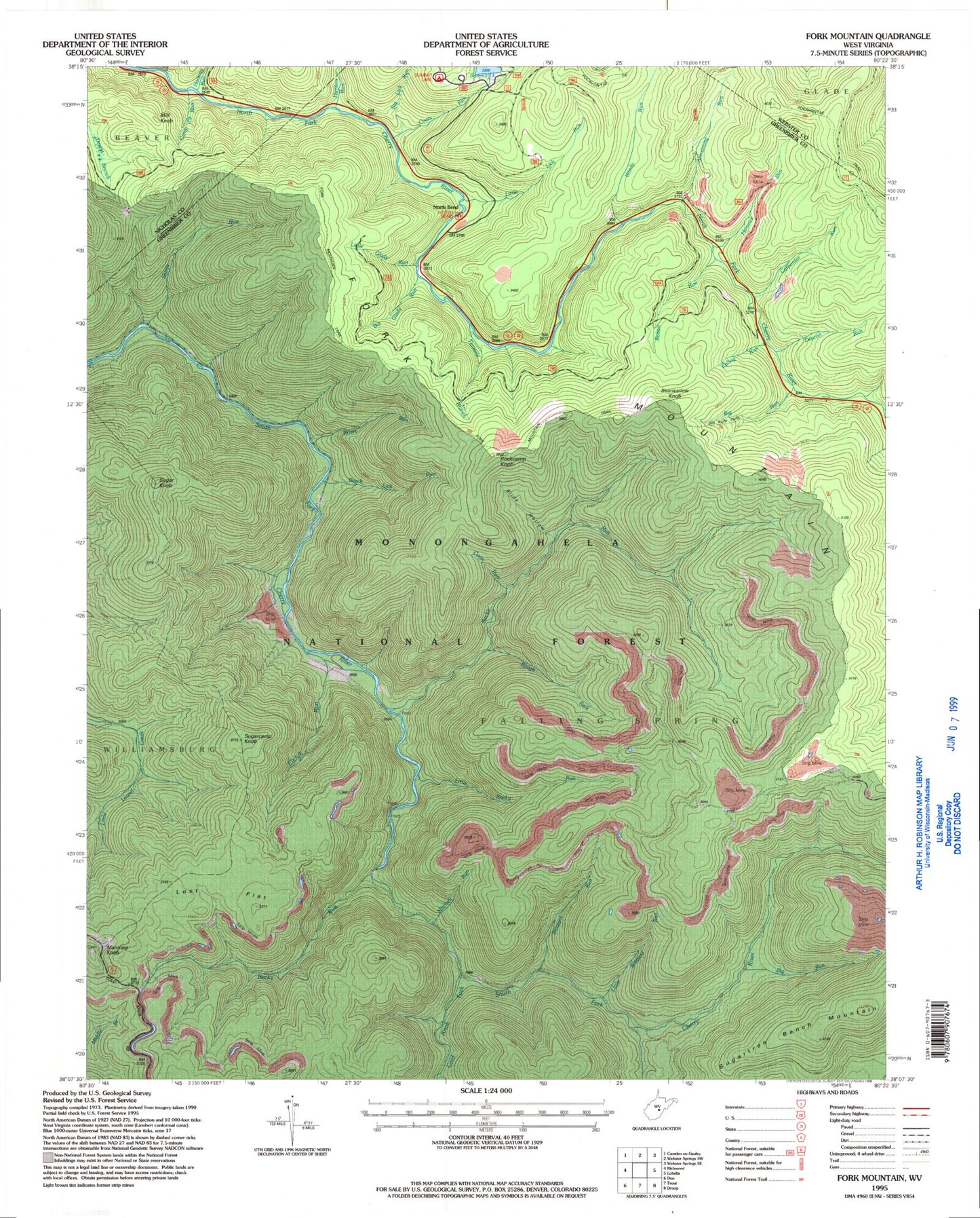
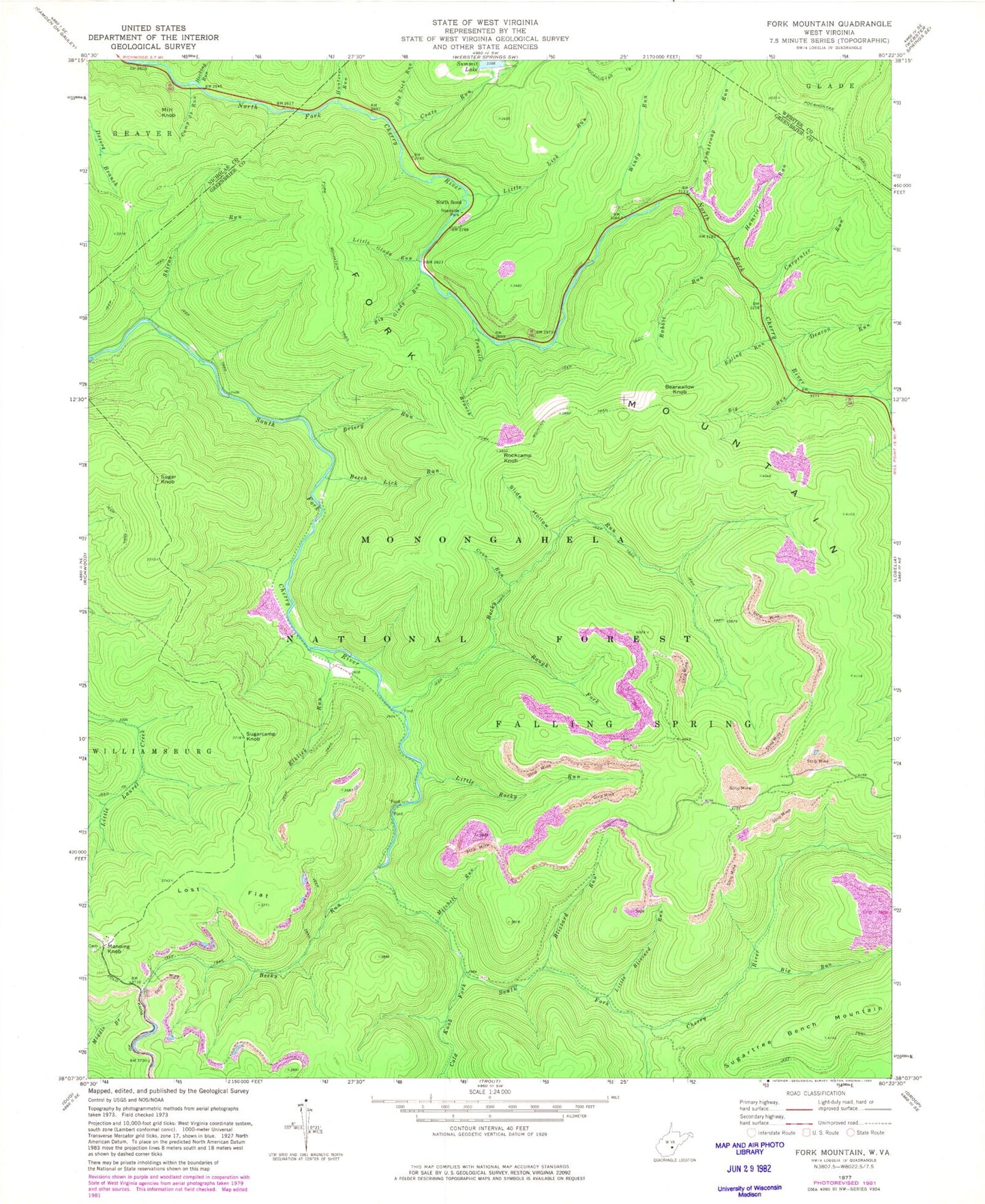
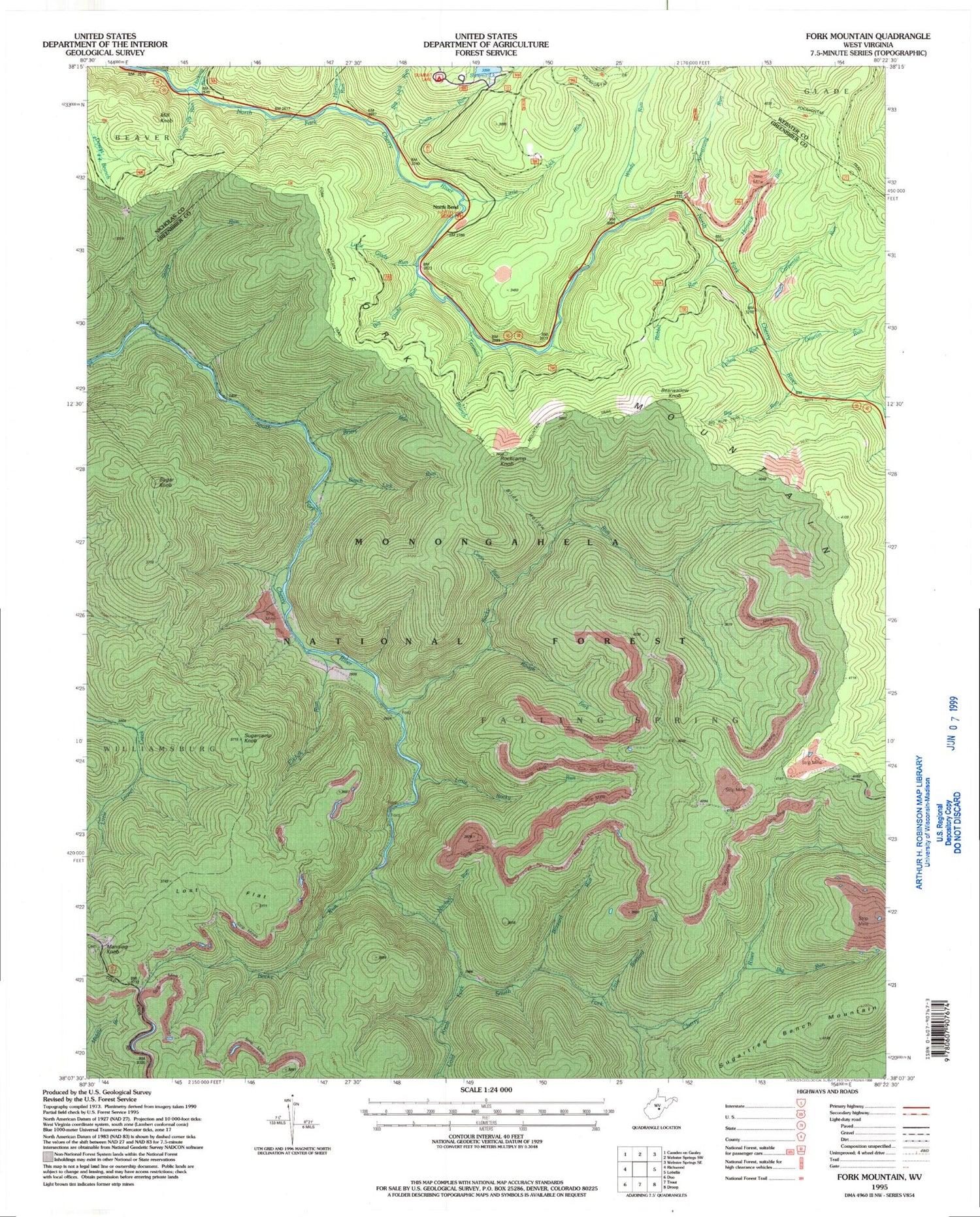
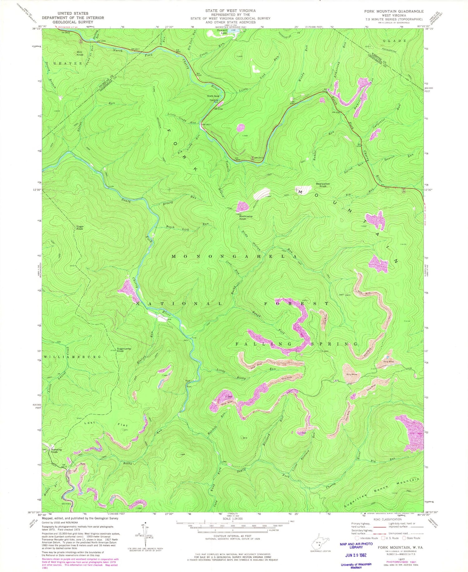
Classic USGS Fork Mountain West Virginia 7.5'x7.5' Topo Map
Couldn't load pickup availability
Historical USGS topographic quad map of Fork Mountain in the state of West Virginia. Typical map scale is 1:24,000, but may vary for certain years, if available. Print size: 24" x 27"
This quadrangle is in the following counties: Greenbrier, Nicholas, Webster.
The map contains contour lines, roads, rivers, towns, and lakes. Printed on high-quality waterproof paper with UV fade-resistant inks, and shipped rolled.
Contains the following named places: Armstrong Run, Becky Run, Beech Lick Run, Big Glady Run, Big Lick Run, Big Run, Big Run, Blizzard Run, Briery Run, Bumblebee Run, Camp 29 Run, Carpenter Run, Coats Run, Cold Knob Fork, Coon Run, Deacon Run, Elklick Run, Epling Run, Fallen Timber Run, Fork Mountain, Fork Mountain Trail, Hacking Run, Hamrick Run, Hunters Run, Little Blizzard Run, Little Glady Run, Little Lick Run, Little Rocky Run, Lost Flat, Mitchell Run, North Bend, Pocahontas Trail, Rabbit Run, Rockcamp Knob, Rocky Run, Rough Fork, Shiras Run, Slide Hollow, Sugarcamp Knob, Tenmile Branch, Windy Run, North Bend Picnic Area, Summit Lake Campground, Big Run Trail, Bearwallow Knob, Manning Knob, Mill Knob, Sugar Knob, Summit Lake Dam


