MyTopo
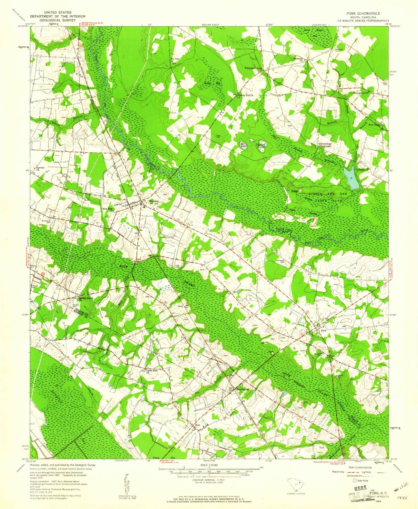
Classic USGS Fork South Carolina 7.5'x7.5' Topo Map
Couldn't load pickup availability
Historical USGS topographic quad map of Fork in the state of South Carolina. Map scale may vary for some years, but is generally around 1:24,000. Print size is approximately 24" x 27"
This quadrangle is in the following counties: Dillon, Marion.
The map contains contour lines, roads, rivers, towns, and lakes. Printed on high-quality waterproof paper with UV fade-resistant inks, and shipped rolled.
Contains the following named places: Bell Swamp Branch, Ben Pond, Bermuda Cemetery, Bermuda Church, Bermuda High School, Boggy Branch, Buck Swamp, Butler Branch, Cane Branch, Carmichael Crossroads, Cypress Branch, Cypress Ponds, Dunbarton, Dunbarton Presbyterian Church, Everbee Church, Floyd Dale Fire Department, Floydale, Floydale Census Designated Place, Floydale School, Fore Cemetery, Fork, Fork Post Office, Fork School, Fort Chapel, Fowlers Second Pond Dam D-3607, Fowlers Third Pond Dam D-3606, Harrelson Cemetery, Hayes Cemetery, Hayestown, Hayestown Church, High Hill School, Hopewell Cemetery, House of God Zion Church, Indian Pot Branch, Johnson Cemetery, Kelly Bay, Little Pee Dee Cemetery, Little Pee Dee State Park, Little Zion Methodist Church, Long Branch, Maidendown Swamp, Manning School, Maple Swamp, Mill Creek, Mount Andrew Cemetery, Mount Andrew United Methodist Church, Mount Zion African Methodist Episcopal Church, New Zion Church, Open Door Independent Baptist Church, Page Cemetery, Pee Dee Church, Pee Dee State Park Lake, Pittman Corner, Poplar Branch, Prr Dee State Park Dam D-3602, Pyerian Church, Smithboro, Spiveys 917 Pond Dam D-3605, Spring Grove Church, Spring Hill Church, Spring Hill School, Tenmile Bay, The Gulley, Tyndall Cemetery, Watson Cemetery, WBTW-TV (Florence), WPDE-TV (Florence), WZNS-FM (Dillon), Zion, Zion Census Designated Place, Zion Church, Zion School, Zion Southern Methodist Church, ZIP Code: 29543


