MyTopo
Classic USGS Forked Horn Butte Oregon 7.5'x7.5' Topo Map
Couldn't load pickup availability
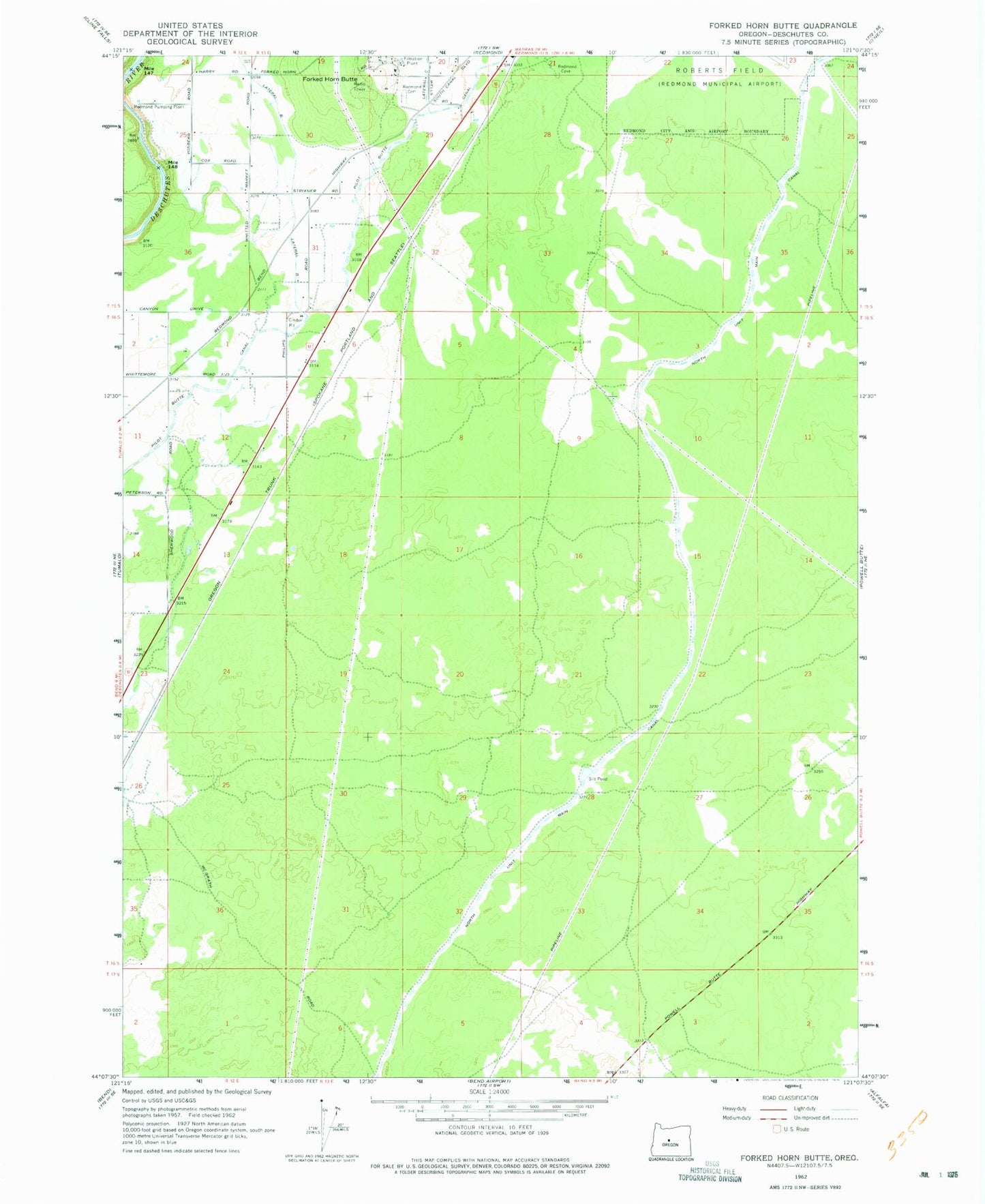
Historical USGS topographic quad map of Forked Horn Butte in the state of Oregon. Map scale may vary for some years, but is generally around 1:24,000. Print size is approximately 24" x 27"
This quadrangle is in the following counties: Deschutes.
The map contains contour lines, roads, rivers, towns, and lakes. Printed on high-quality waterproof paper with UV fade-resistant inks, and shipped rolled.
Contains the following named places: Deschutes County Fairgrounds, Forked Horn Butte, Hensley, Hooker Creek Event Center, Juniper Arena, Lateral B, Pilot Butte Canal, Pronghorn Census Designated Place, Redmond Cemetery, Redmond Pumping Plant, Redmond-Bend Juniper State Park, Sagebrush Arena, Three Sisters Conference Center