MyTopo
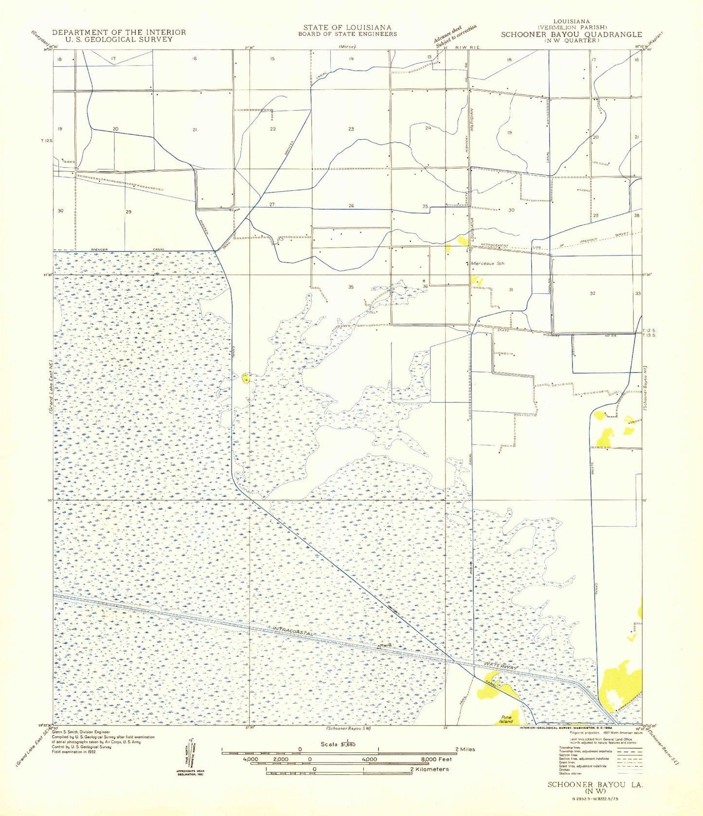
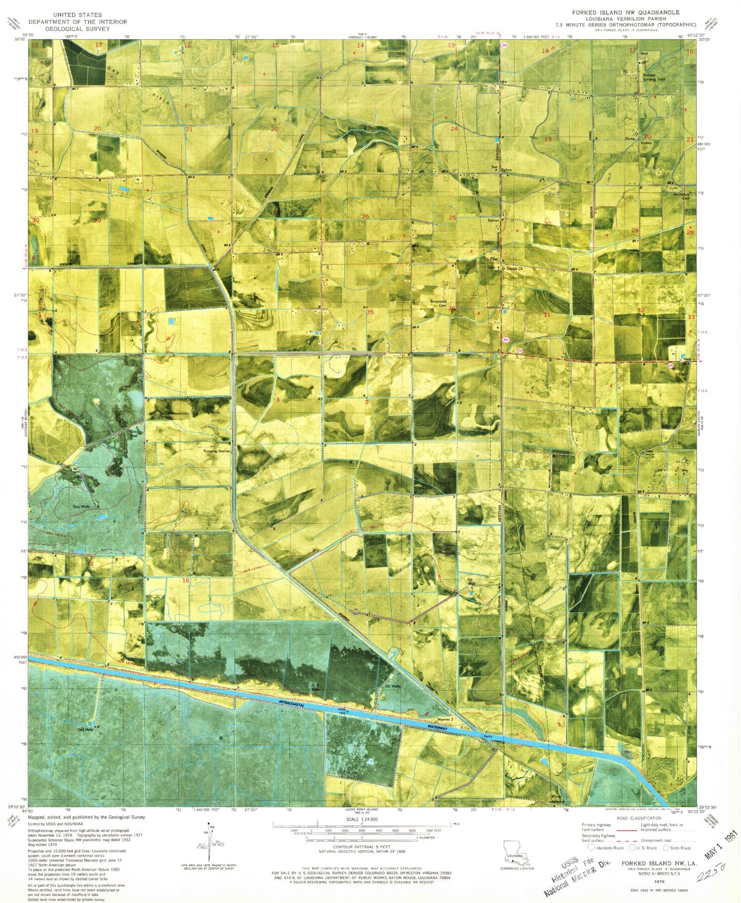
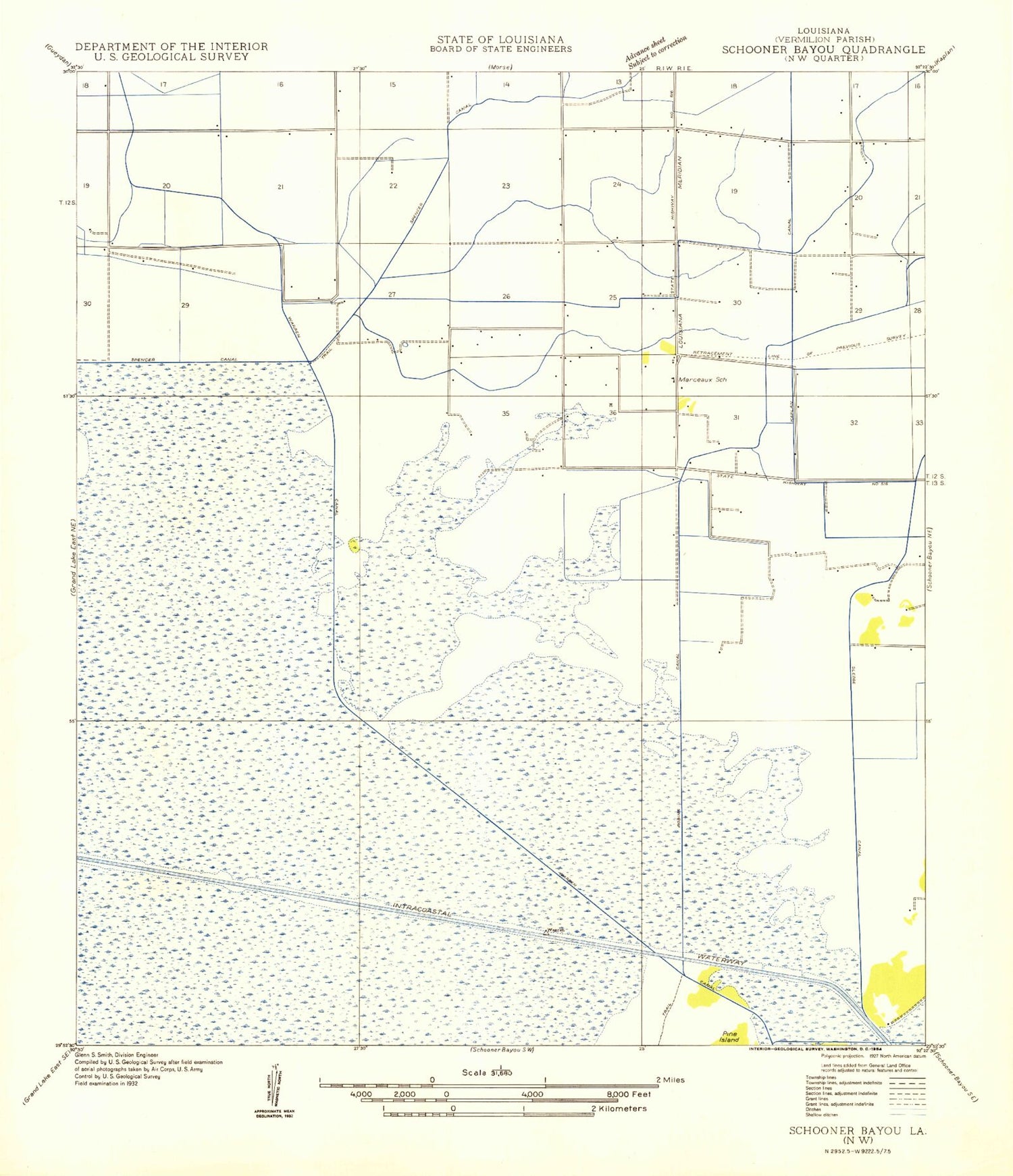
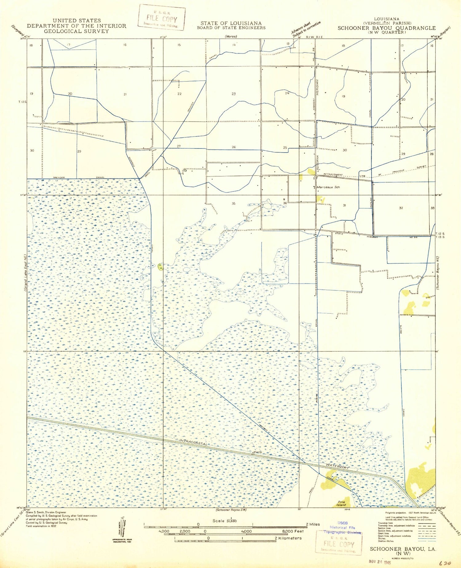
Classic USGS Forked Island NW Louisiana 7.5'x7.5' Topo Map
Couldn't load pickup availability
Historical USGS topographic quad map of Forked Island NW in the state of Louisiana. Map scale may vary for some years, but is generally around 1:24,000. Print size is approximately 24" x 27"
This quadrangle is in the following counties: Vermilion.
The map contains contour lines, roads, rivers, towns, and lakes. Printed on high-quality waterproof paper with UV fade-resistant inks, and shipped rolled.
Contains the following named places: Broussard Cemetery, Florence Gas Field, Little Chapel Volunteer Fire Department, Marceaux, Marceaux Cemetery, Robins Canal, Saint Davids Church, Saltzman Number 1 Landing Field, Saltzman Number 2 Landing Field, Simon Landing Field, South Kaplan Gas Field, Southeast Gueydan Gas Field, Tee Brad's Airport