MyTopo
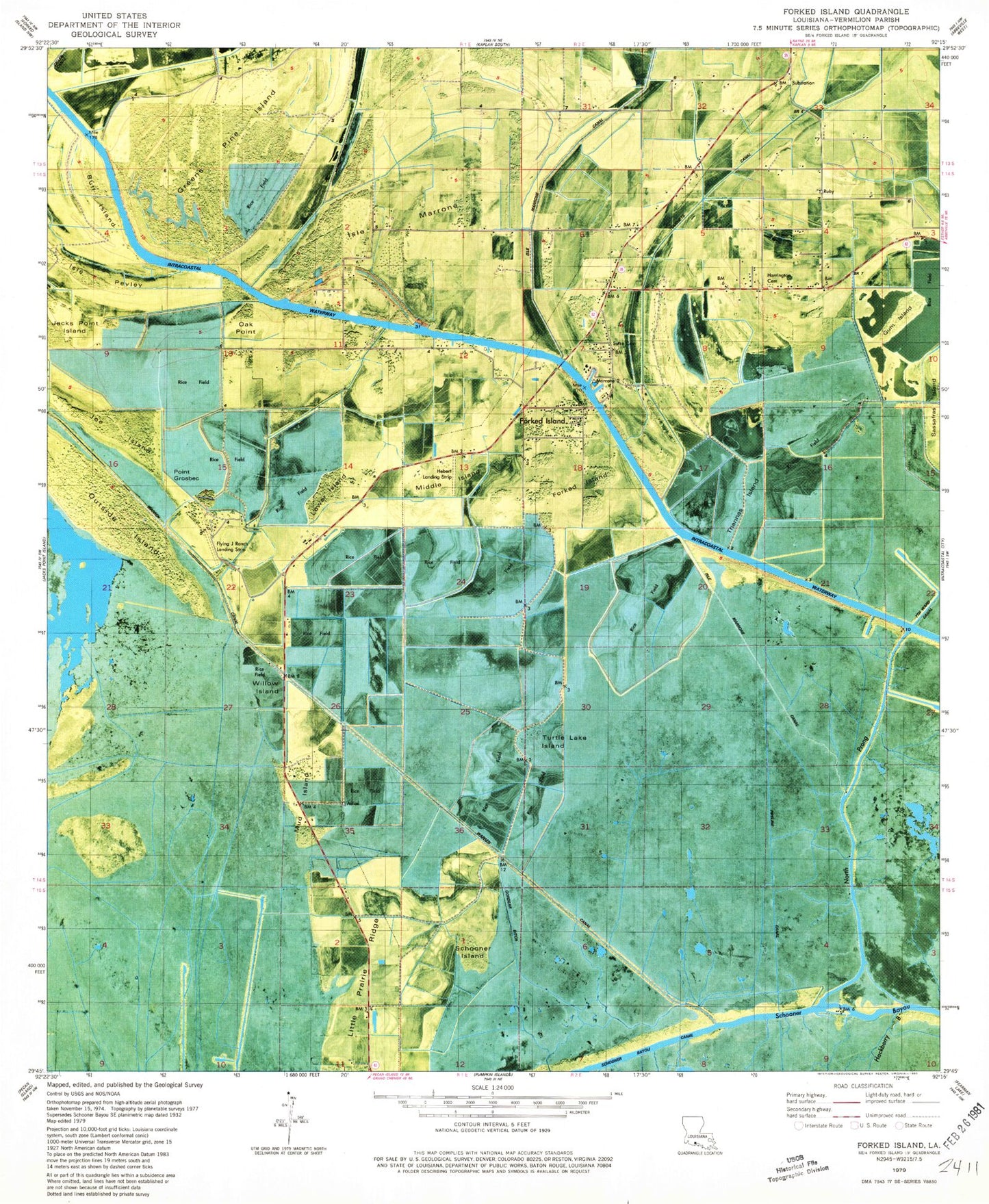
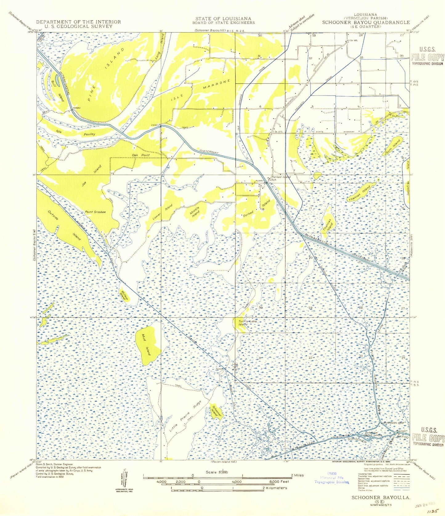
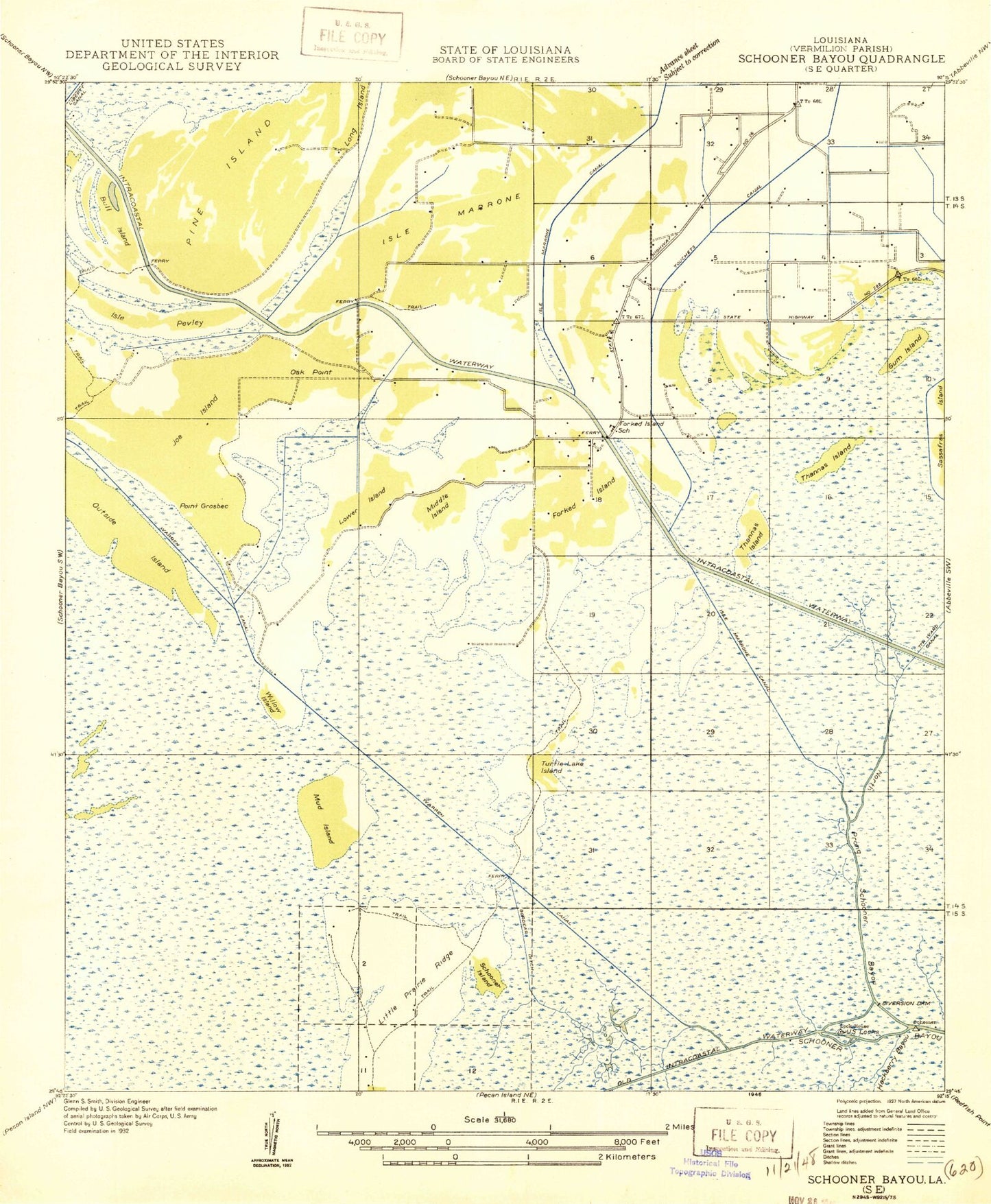
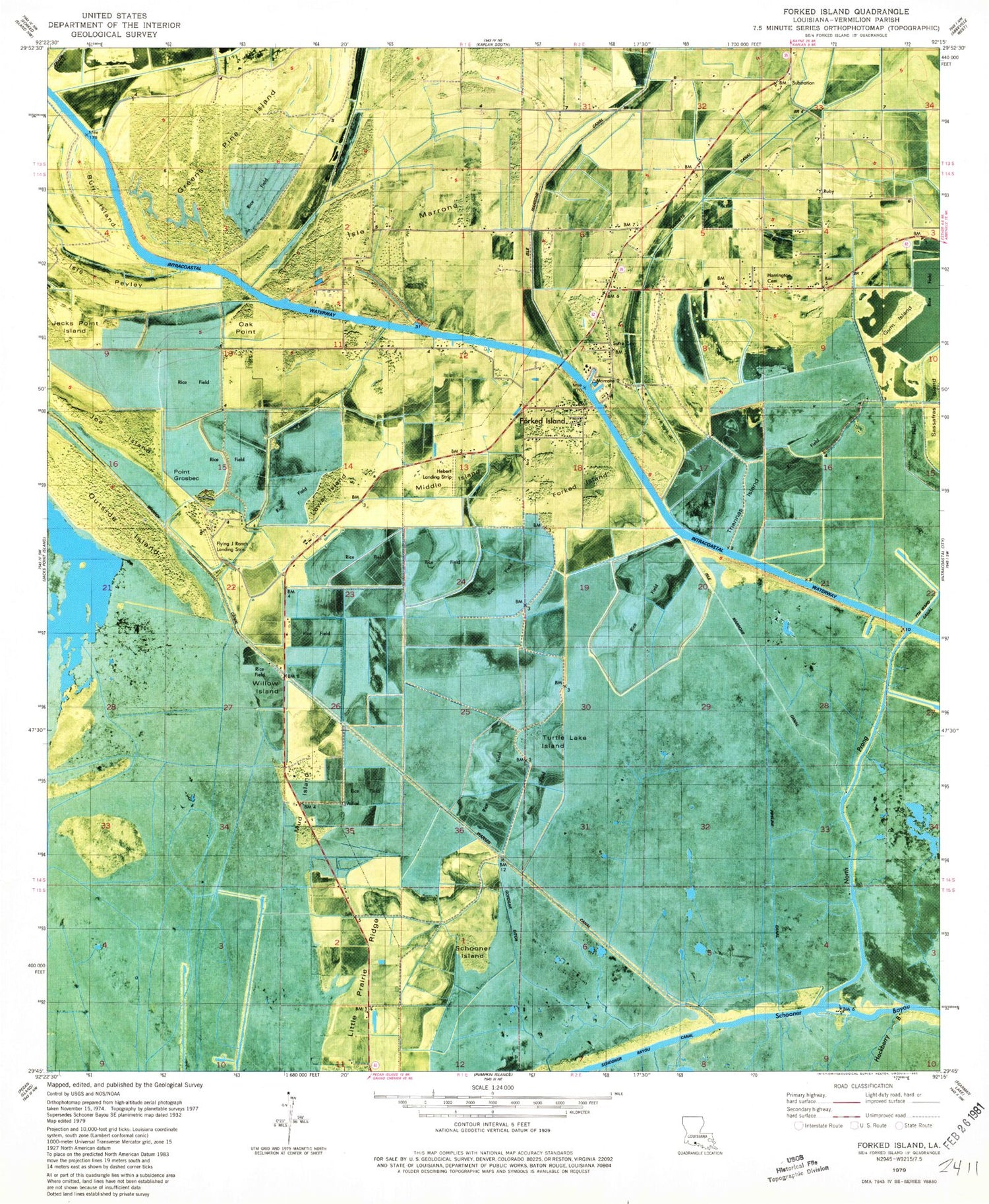
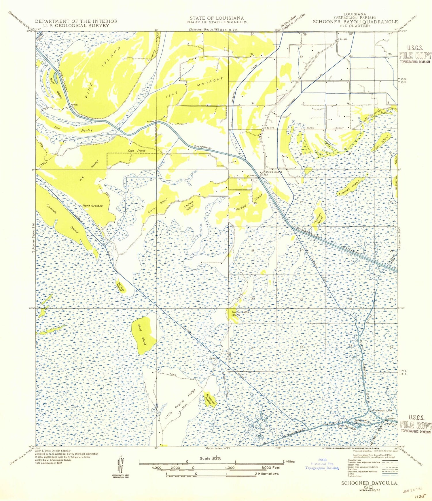
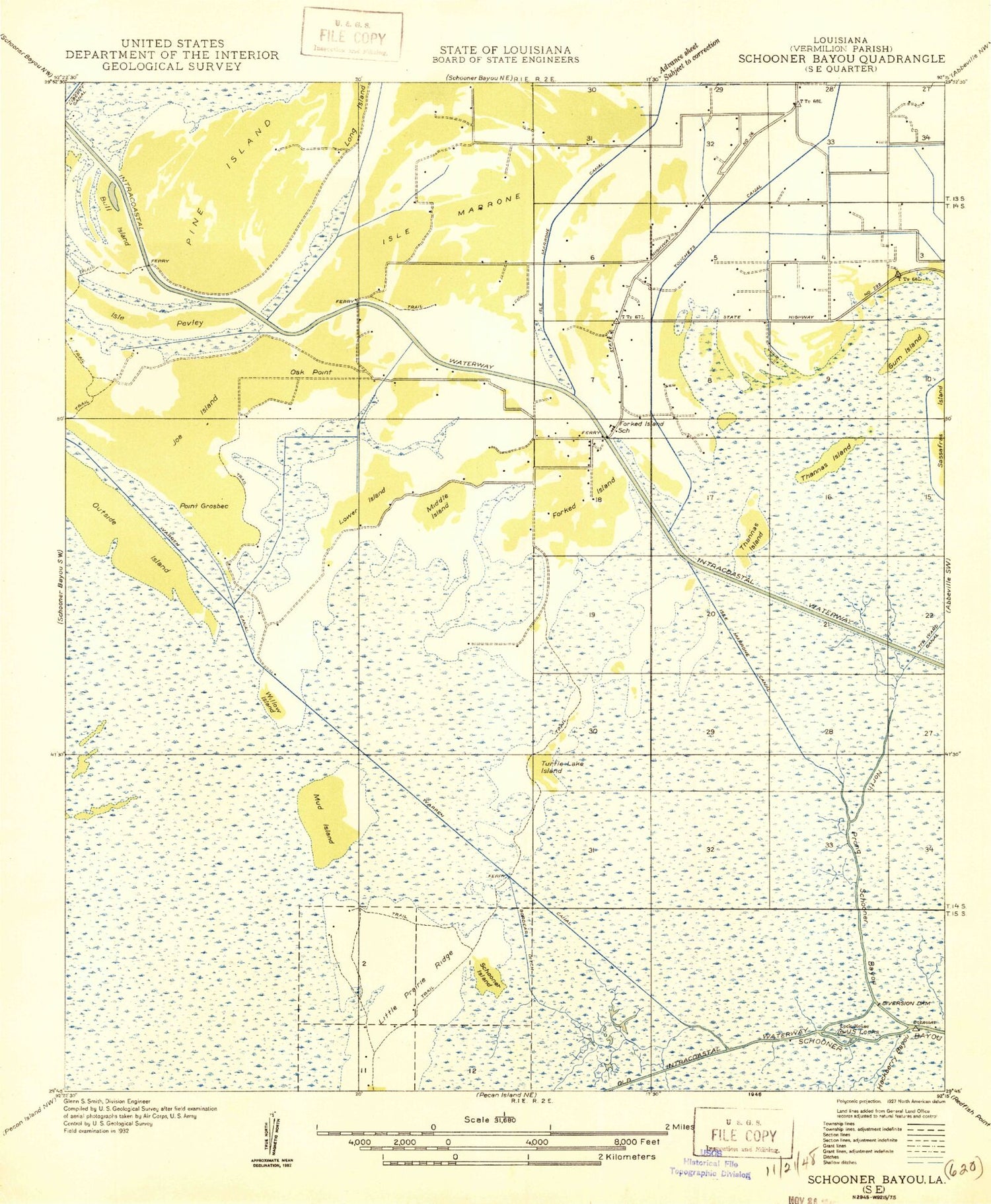
Classic USGS Forked Island Louisiana 7.5'x7.5' Topo Map
Couldn't load pickup availability
Historical USGS topographic quad map of Forked Island in the state of Louisiana. Map scale may vary for some years, but is generally around 1:24,000. Print size is approximately 24" x 27"
This quadrangle is in the following counties: Vermilion.
The map contains contour lines, roads, rivers, towns, and lakes. Printed on high-quality waterproof paper with UV fade-resistant inks, and shipped rolled.
Contains the following named places: Bull Island, Ernest Broussard High School, Flying J Ranch Landing Strip, Forked Island, Forked Island - E Broussard Elementary School, Forked Island Bridge, Forked Island Elementary School, Forked Island Gas Field, Gordear Ditch, Greens Pine Island, Gum Island, Hackberry Bayou, Harrington Cemetery, Harrington School, Hebert Landing Strip, Immaculate Conception Catholic Church, Isle Marrone, Isle Marrone Canal, Isle Pevley, Joe Island, Little Prairie Ridge, Lower Island, Middle Island, Mud Island, North Prong of Schooner Bayou, Oak Point, Outside Island, Point Grosbec, Schooner Island, Suire Cemetery, Thannas Island, Touchets Canal, Turtle Lake Island, Vermilion Parish, Vermilion Parish Fire Protection District 13, Vermilion Parish Library Cow Island Branch, Warren Canal, Willow Island
