MyTopo
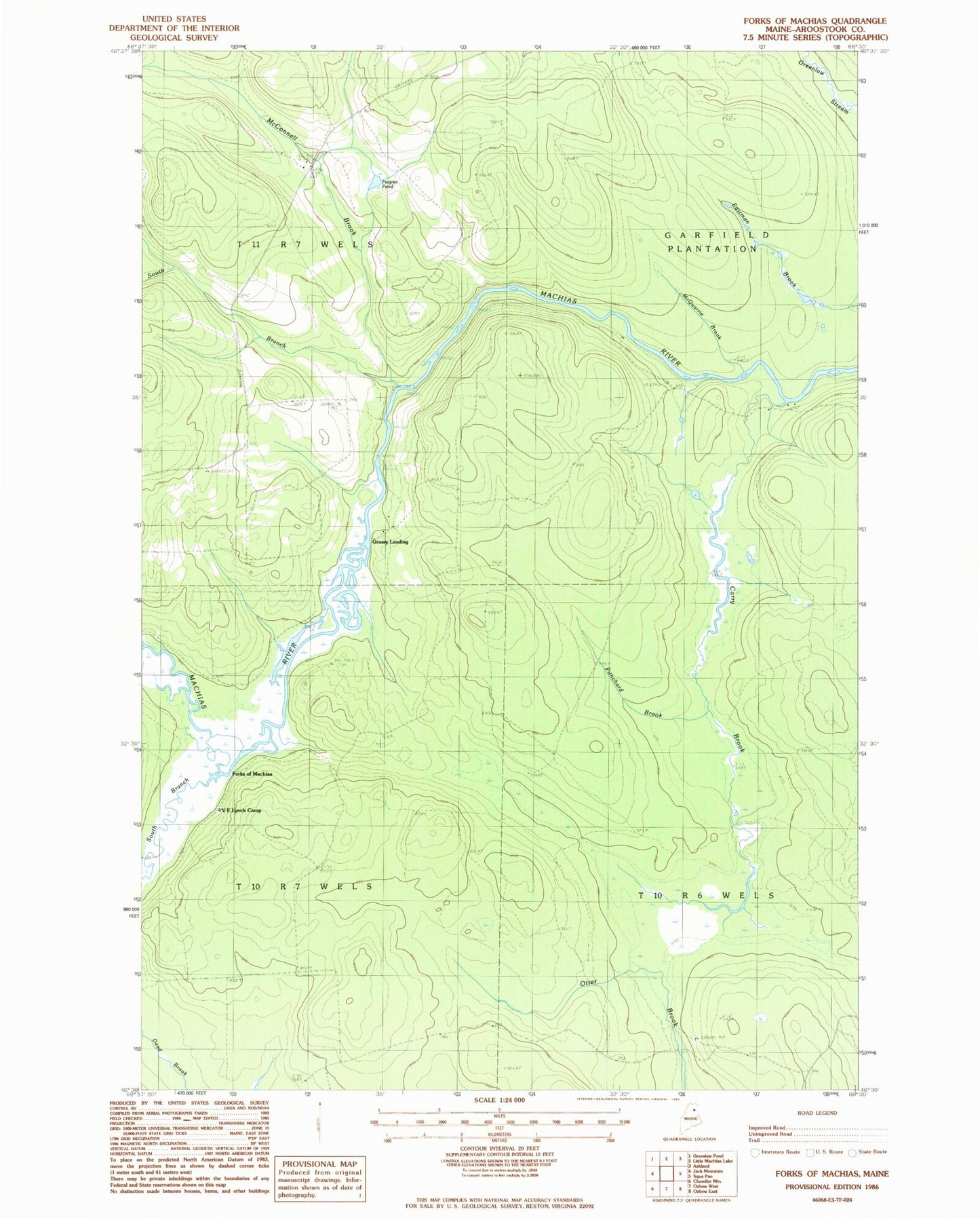
Classic USGS Forks of Machias Maine 7.5'x7.5' Topo Map
Regular price
$16.95
Regular price
Sale price
$16.95
Unit price
per
Couldn't load pickup availability
Historical USGS topographic quad map of Forks of Machias in the state of Maine. Map scale may vary for some years, but is generally around 1:24,000. Print size is approximately 24" x 27"
This quadrangle is in the following counties: Aroostook.
The map contains contour lines, roads, rivers, towns, and lakes. Printed on high-quality waterproof paper with UV fade-resistant inks, and shipped rolled.
Contains the following named places: Carry Brook, Carry Brook Camp, Forks of Machias, Grassy Landing, McConnell Brook, McQuarrie Brook, Pingree Camp, Pingree Pond, Punchard Brook, South Branch Machias River, South Branch McConnell Brook, Trafton Brook, V E Lynch Camp