MyTopo
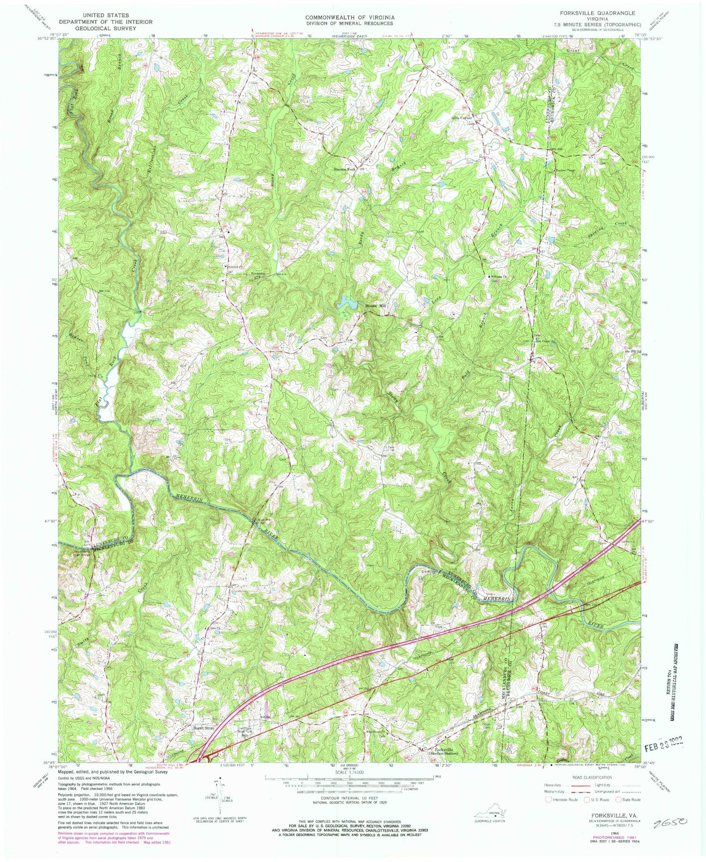
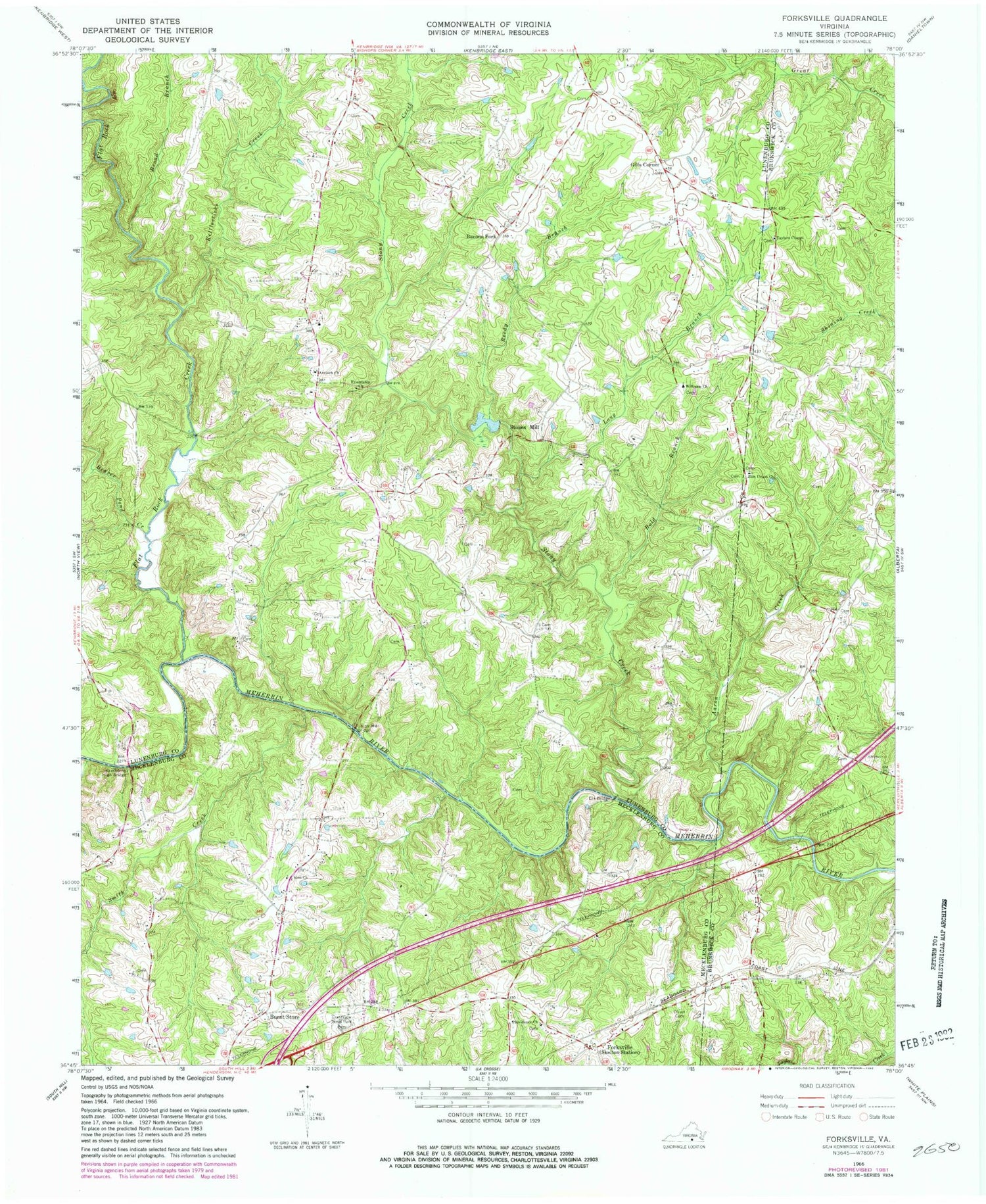
Classic USGS Forksville Virginia 7.5'x7.5' Topo Map
Couldn't load pickup availability
Historical USGS topographic quad map of Forksville in the state of Virginia. Map scale may vary for some years, but is generally around 1:24,000. Print size is approximately 24" x 27"
This quadrangle is in the following counties: Brunswick, Lunenburg, Mecklenburg.
The map contains contour lines, roads, rivers, towns, and lakes. Printed on high-quality waterproof paper with UV fade-resistant inks, and shipped rolled.
Contains the following named places: Aaron Creek, Antioch Church, Bacons Fork, Beaver Creek District, Beaver Pond Creek, Bold Branch, Booker School, Broad Branch, Burnt Store, Crestview Memorial Park, Dix Bridge, Flat Rock Creek, Forksville, Friendship Church, Gills Corner, Hawthorne High Bridge, Hite Cemetery, Kettlesticks Creek, Lochleven, Lochleven Post Office, Lochleven School, Long Branch, McDaniel Cemetery, Neblett Cemetery, Oliver Church, Olivet Cemetery, Providence Cemetery, Providence Church, Reedy Branch, Smith Creek, Stones Mill, Stony Creek, Taylors Chapel, Union Church, Union Mill, Union Mill Bridge, Williams Church, Zion Union Church


