MyTopo
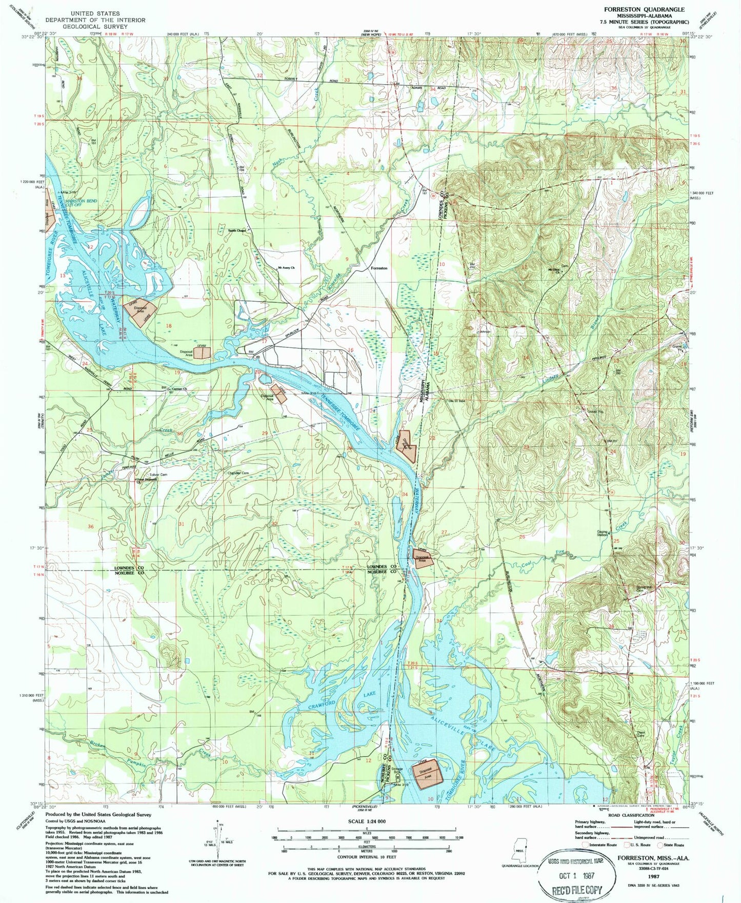
Classic USGS Forreston Mississippi 7.5'x7.5' Topo Map
Couldn't load pickup availability
Historical USGS topographic quad map of Forreston in the states of Mississippi, Alabama. Map scale may vary for some years, but is generally around 1:24,000. Print size is approximately 24" x 27"
This quadrangle is in the following counties: Lowndes, Noxubee, Pickens.
The map contains contour lines, roads, rivers, towns, and lakes. Printed on high-quality waterproof paper with UV fade-resistant inks, and shipped rolled.
Contains the following named places: Aliceville Lake, Bar Number 16, Bar Number 17, Bar Number 18, Boyd Creek, Broken Pumpkin Creek, Brookshire Cemetery, Carmen Church, Chandler Cemetery, Coal Fire Creek, Coal Fire Creek Bar, Crawford Lake, Crawfords Bar, Crawfords Ferry, Crawfords Island, Ellis Bar, Forreston, Gees Gin, Hairston Bend Cutoff, Herbert Mission Church, James Creek, James Creek Recreation Area, Kincaide Creek, Lindsey Branch, Lowndes County District 3 Volunteer Fire and Rescue Department Highway 69 Station, Mount Avery Church, Mount Olive Cemetery, Mount Olive Church, Nash Creek, Nashville, Nashville Ferry, Oak Ridge Cemetery, Oak Ridge School, Pettys Bluff, Pilgrim Church, Prude Lake, Ross Cemetery, Smith Chapel, Spring Hill Cemetery, Toliver Cemetery, Union Bluff, Union Bluff Landing, Union Hopewell Church, Woolbank Creek