MyTopo
Classic USGS Fort Basinger Florida 7.5'x7.5' Topo Map
Regular price
$16.95
Regular price
Sale price
$16.95
Unit price
per
Couldn't load pickup availability
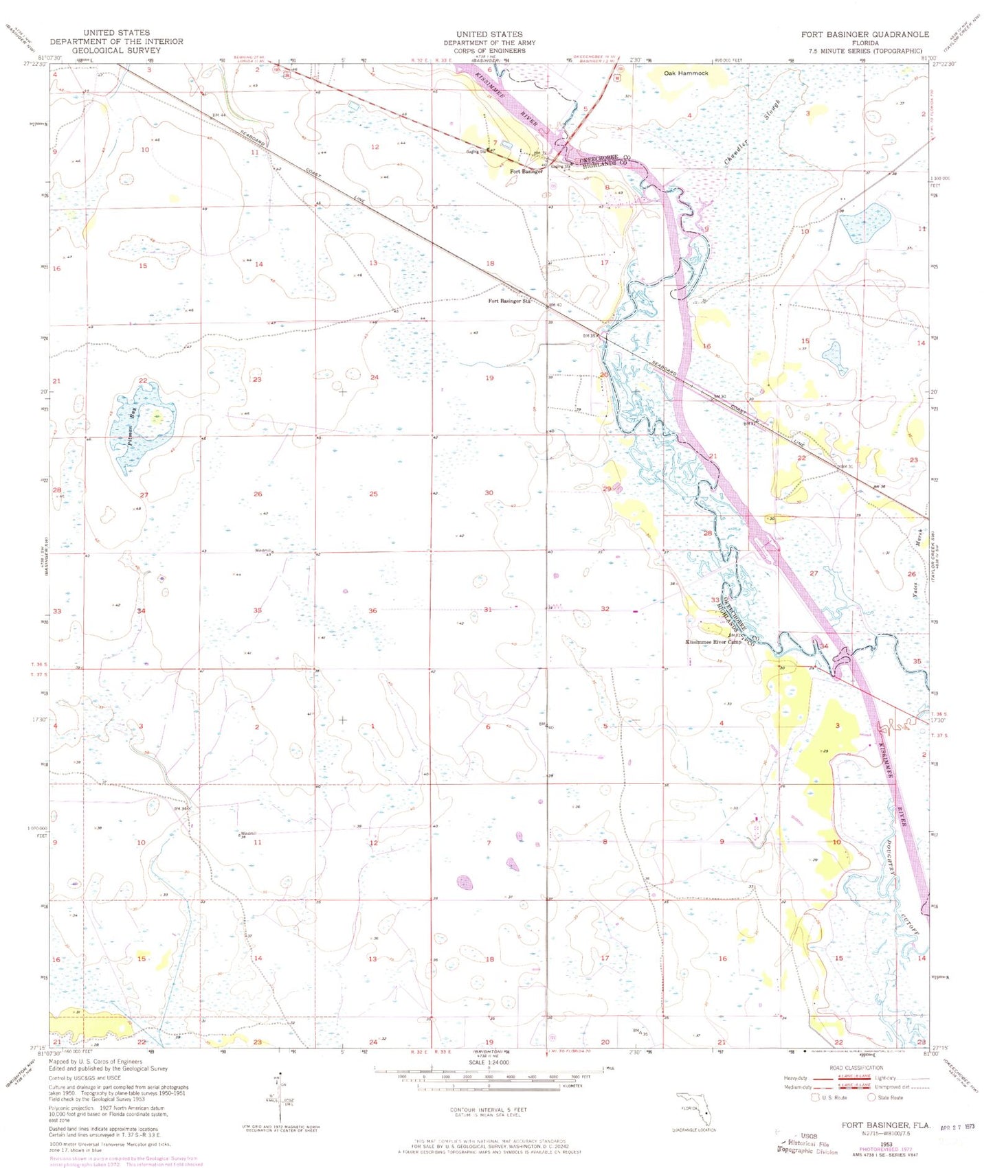
Historical USGS topographic quad map of Fort Basinger in the state of Florida. Map scale may vary for some years, but is generally around 1:24,000. Print size is approximately 24" x 27"
This quadrangle is in the following counties: Highlands, Okeechobee.
The map contains contour lines, roads, rivers, towns, and lakes. Printed on high-quality waterproof paper with UV fade-resistant inks, and shipped rolled.
Contains the following named places: Chandler Slough, Doughtry Cutoff, Fort Basinger, Fort Basinger Station, Kissimmee River Camp, Long Cypress Slash, Lorida Fire Department Station 25, Morgan Landing, Oak Hammock, Pearce Bridge, Pitman Bay, River Acres Airport