MyTopo
Classic USGS Fort Bliss NE Texas 7.5'x7.5' Topo Map
Couldn't load pickup availability
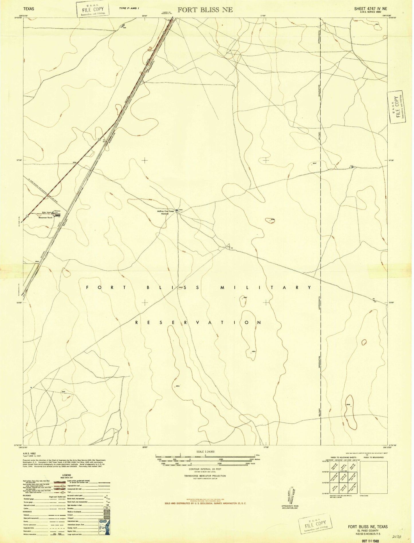
Historical USGS topographic quad map of Fort Bliss NE in the state of Texas. Map scale may vary for some years, but is generally around 1:24,000. Print size is approximately 24" x 27"
This quadrangle is in the following counties: El Paso.
The map contains contour lines, roads, rivers, towns, and lakes. Printed on high-quality waterproof paper with UV fade-resistant inks, and shipped rolled.
Contains the following named places: El Paso North Central Division, KHEY-AM (El Paso), Newman, Newman Radio Beacon, Northeast Oxidation Pond Number 1, Northeast Oxidation Pond Number 1 Dam, Northeast Oxidation Pond Number 2, Northeast Oxidation Pond Number 2 Dam, Northeast Oxidation Pond Number 3, Northeast Oxidation Pond Number 3 Dam, Northeast Oxidation Pond Number 4, Northeast Oxidation Pond Number 4 Dam