MyTopo
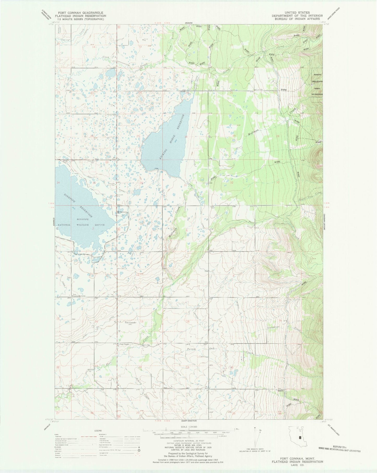
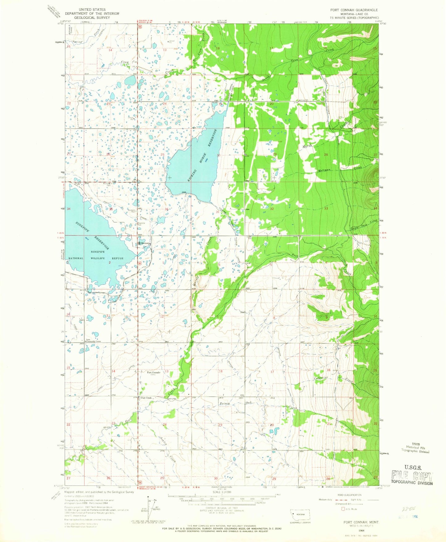
Classic USGS Fort Connah Montana 7.5'x7.5' Topo Map
Couldn't load pickup availability
Historical USGS topographic quad map of Fort Connah in the state of Montana. Map scale may vary for some years, but is generally around 1:24,000. Print size is approximately 24" x 27"
This quadrangle is in the following counties: Lake.
The map contains contour lines, roads, rivers, towns, and lakes. Printed on high-quality waterproof paper with UV fade-resistant inks, and shipped rolled.
Contains the following named places: 19N19W05DAA_01 Well, 19N19W06CCCB01 Well, 19N19W07CCA_01 Well, 19N19W09DBBD01 Well, 19N19W20BBA_01 Well, 19N19W20BBAA01 Well, 19N19W20CCC_01 Well, 19N19W21CBCD01 Well, 19N20W01BBC_01 Well, 19N20W01DAA_01 Well, 19N20W13CCA_01 Well, 19N20W14BBA_01 Well, 19N20W14BBB_01 Well, 19N20W14CDD_01 Well, 19N20W15DAAA01 Well, 19N20W22AAAB01 Well, 19N20W24CDDA01 Well, 19N20W26ADD_01 Well, 19N20W26BAB_01 Well, 20N19W16BDCB01 Well, 20N19W19DAA_01 Well, 20N19W19DAD_01 Well, 20N19W19DDA_01 Well, 20N19W20ADDD01 Well, 20N19W21BDA_01 Well, 20N19W21BDD_01 Well, 20N19W31ACD_01 Well, 20N19W32DCC_01 Well, 20N20W14CAD_01 Well, 20N20W15ADDD01 Well, 20N20W22AAD_01 Well, 20N20W25CCC_01 Well, 20N20W26CCBD01 Well, Allentown, Ashley Creek, Eagle Pass Creek, Fort Connah, Fort Connah Historical Marker, Kicking Horse, Kicking Horse Census Designated Place, Kicking Horse Dam, Kicking Horse Feeder Canal, Kicking Horse Reservoir, Leon Community Center, Leon Post Office, Leon School, Mission Mountain Wilderness Historical Marker, Mollman Creek, Ninepipe National Wildlife Refuge, Ninepipe Reservoir, North Crow Creek, Poison Oak Creek, Post Creek, Post G Canal, Ronan B Canal, South Crow Creek, Valentine Creek


