MyTopo
Classic USGS Fort Craig New Mexico 7.5'x7.5' Topo Map
Regular price
$16.95
Regular price
Sale price
$16.95
Unit price
per
Couldn't load pickup availability
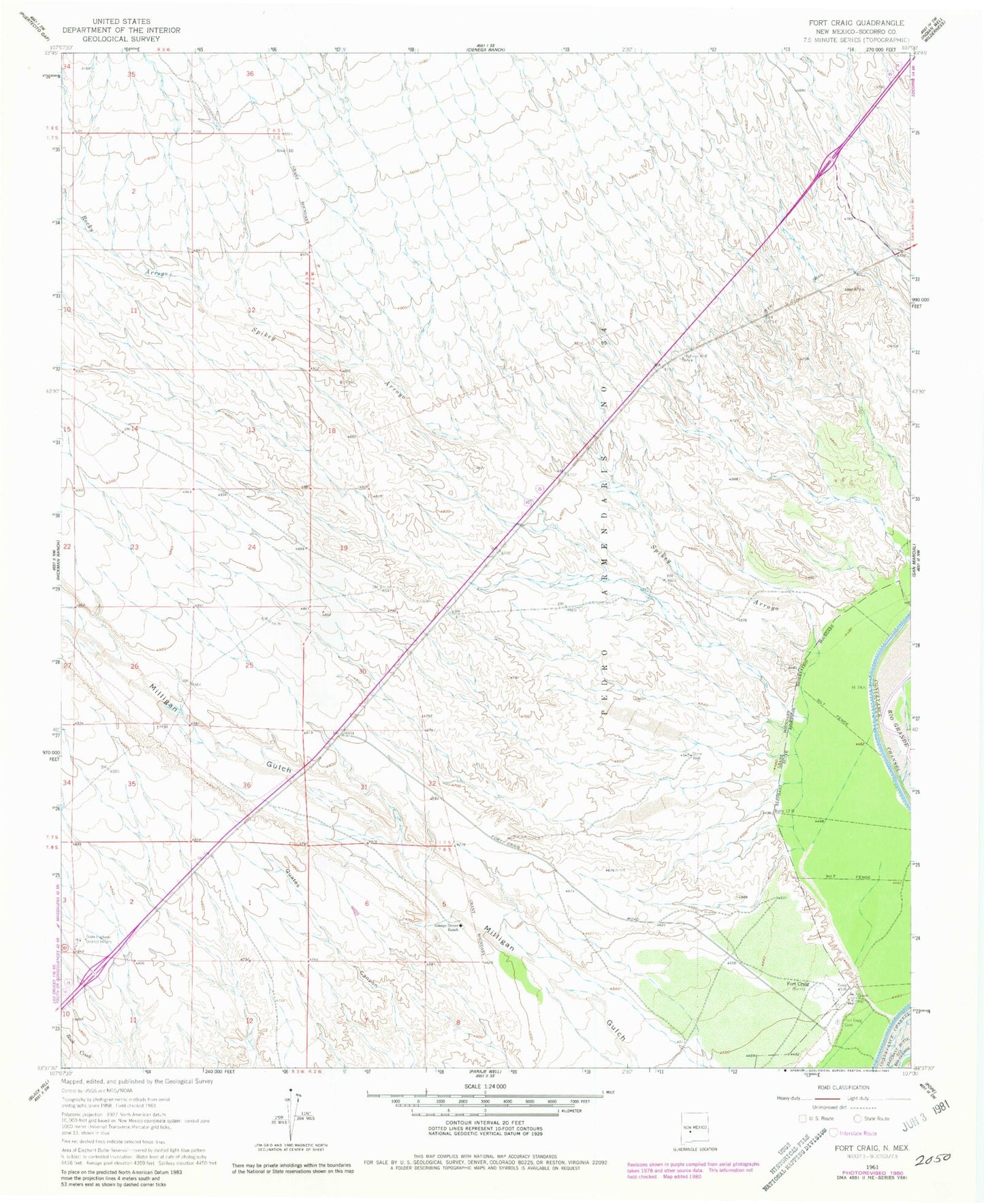
Historical USGS topographic quad map of Fort Craig in the state of New Mexico. Map scale may vary for some years, but is generally around 1:24,000. Print size is approximately 24" x 27"
This quadrangle is in the following counties: Socorro.
The map contains contour lines, roads, rivers, towns, and lakes. Printed on high-quality waterproof paper with UV fade-resistant inks, and shipped rolled.
Contains the following named places: Craig, Elephant Butte Lake State Park, Fort Craig, Fort Craig Cemetery, Fort Craig Post Office, George Birner Ranch, Highway Well, Rocky Arroyo, Spikey Arroyo, State Highway District Headquarters, Stone Well