MyTopo
Classic USGS Fort Defiance Arizona 7.5'x7.5' Topo Map
Couldn't load pickup availability
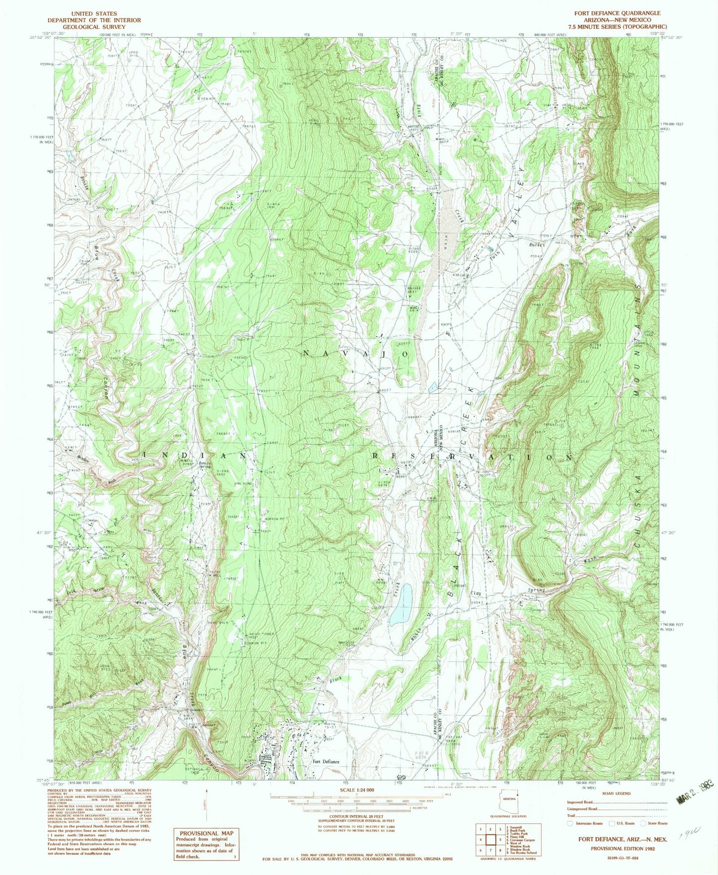
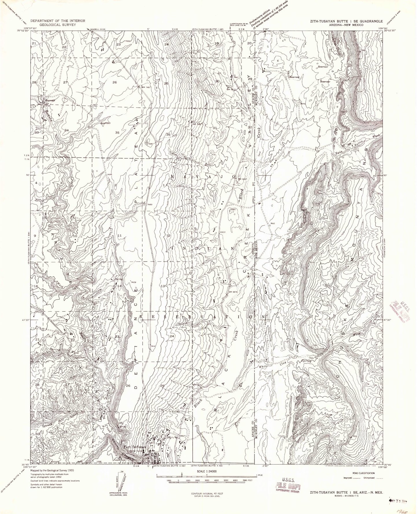
Historical USGS topographic quad map of Fort Defiance in the states of Arizona, New Mexico. Map scale may vary for some years, but is generally around 1:24,000. Print size is approximately 24" x 27"
This quadrangle is in the following counties: Apache, McKinley.
The map contains contour lines, roads, rivers, towns, and lakes. Printed on high-quality waterproof paper with UV fade-resistant inks, and shipped rolled.
Contains the following named places: Black Creek, Bonito Canyon, Bonito Spring, Bonito Valley, Buell Wash, Cold Spring Wash, Cold Water Wash, Fort Defiance Chapter, Fort Defiance Indian Hospital, Piney Hill Creek, Piney Hill Wash, Sawmill Wash, South Fork Bonito Creek, Tsehootsooi Dine Bi Olta School, Tsehootsooi Intermediate Learning Center, Tsehootsooi Primary Learning Center, Twin Buttes Wash, White Clay Spring Wash