MyTopo
Classic USGS Fort Defiance Virginia 7.5'x7.5' Topo Map
Couldn't load pickup availability
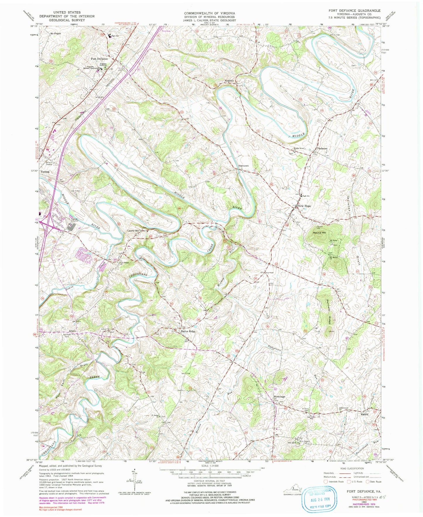
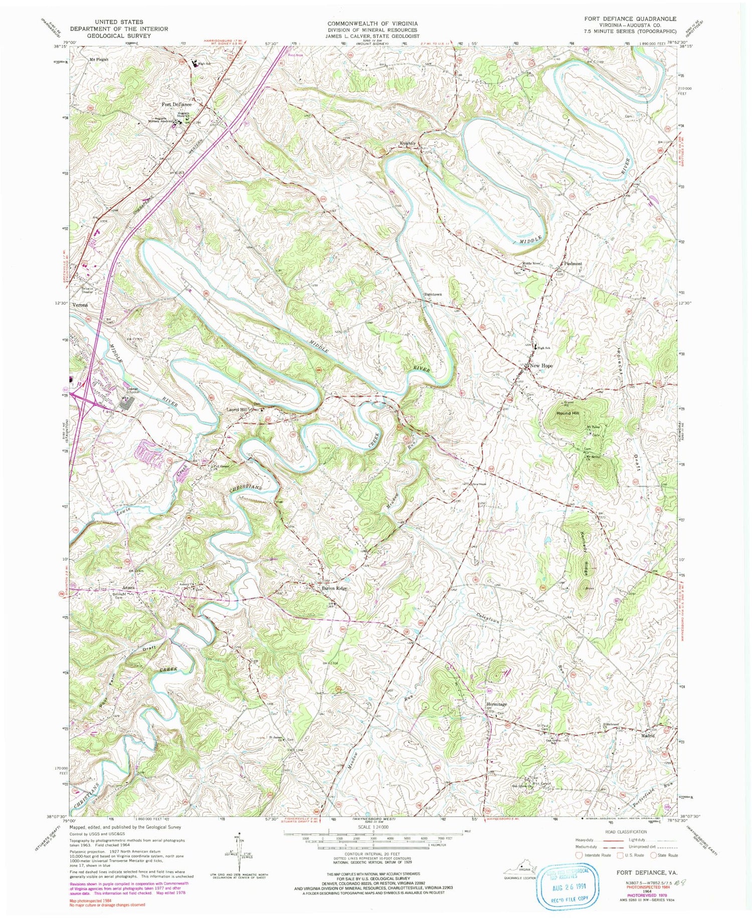
Historical USGS topographic quad map of Fort Defiance in the state of Virginia. Map scale may vary for some years, but is generally around 1:24,000. Print size is approximately 24" x 27"
This quadrangle is in the following counties: Augusta.
The map contains contour lines, roads, rivers, towns, and lakes. Printed on high-quality waterproof paper with UV fade-resistant inks, and shipped rolled.
Contains the following named places: Annex, Asbury Church, Augusta Military Academy, Augusta Stone Church, Barren Ridge, Barren Ridge School, Belmont Cemetery, Centennial School, Christians Creek, Clymore Elementary School, Coleytown Run, Damtown, Fort Defiance, Fort Defiance High School, Full Gospel Church, Hermitage, Hildebrand Cemetery, Hildebrand Church, Kennedy Ridge, Knightly, Laurel Hill, Laurel Hill Baptist Church, Lewis Creek, Madrid, Meadow Run, Middle River Church, Mount Bethel Church, Mount Tabor Church, New Hope, New Hope Census Designated Place, New Hope Elementary School, New Hope Post Office, New Hope United Methodist Church, New Hope Volunteer Fire Department Company 18, North Point Farm, Oak Grove Church, Oak Grove School, Piedmont, Polecat Draft, Poor Farm Draft, Root Field, Rough Hill, Round Hill, Round Hill School, S Gordon Stewart Middle School, Saint James Church, Saint Paul Cemetery, Verona Elementary School, ZIP Codes: 24437, 24482


